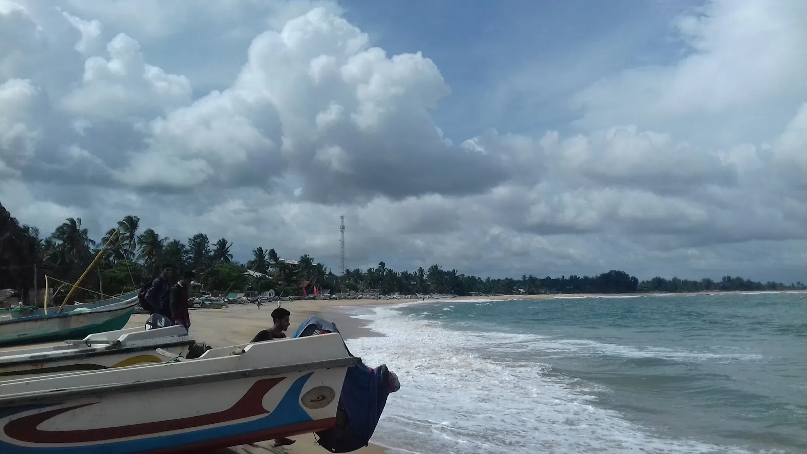
Arugam Bay
Sri Lanka's best-known surf town, with lagoons nearby and a day trip into Kumana National Park, reached by road through Panama.
We may earn a commission. It never decides our picks.
Arugam Bay is a beach town on Sri Lanka's southeast coast, in the dry zone of Ampara District in the Eastern Province. It lies about 320 km east of Colombo and 117 km south of Batticaloa. The bay is the country's best-known surf spot, with several breaks including Main Point at its southern end. It is also the gateway to Yala East National Park and the only road access to it. Pottuvil, the area's main centre for shops and transport, is about 4 km north.
Travelers come for the surf, the beaches and lagoons, and the wildlife nearby. Kumana National Park is about 44 km away, reached through Panama and Okanda, and elephants are common locally. April to October is the best time for surfing. Pasarichenai Beach, 2.2 km away, is a short walk or ride. Before you travel, check current advisories: in October 2024 Israel told its citizens in the area to leave, and police increased security near the Chabad house after a possible threat to Israeli tourists.
Arugam Bay in five
- Come in the surf seasonThe CCF describes Arugam Bay as a surfing destination with swells from April to October. Check conditions with a local surf school before you book, since waves vary by the week.CCF destinations
- Stay on roads and cleared paths in the eastThe FCDO says de-mining continues in parts of the east and some former military and police sites are still marked as minefields. Keep to roads and cleared footpaths.UK regional advice
- Add Kumana for birdsThe CCF describes Kumana National Park as a premier bird-watching park with more than 200 species, plus elephants and crocodiles. Park permits go through the DWC, so check the current process.DWC eServices
- Plan the long road inThe east coast is far from the airport and the south-coast resorts, so allow a full travel day. Confirm the current route with your driver, and use a stop such as Ella as a natural break.Ella travel guide
- Take local advice before you surf or swimSurf and rip tides are the main beach hazards in the FCDO advice for Sri Lanka, and conditions change by the day. Ask your hotel or surf school before you go in.UK travel advice
Things to do in Arugam Bay
See all attractions in Arugam Bay
Need to know
- Airport
- Bandaranaike (CMB); the east coast is a long overland journey
- Getting there
- By road across the interior or along the coast; allow a full travel day
- Getting around
- Tuk-tuks, hired scooters and walking along the beach road
- Best base
- Arugam Bay village, or quieter stretches nearby
- Time needed
- 3 to 5 days for surf; 2 nights for a beach stop
Weather by month
- Best
- JanuaryWet, cooler
- FebruaryDrier
- MarchDry, hot
- AprilSwell starts
- MaySurf season
- JuneSurf season
- JulySurf season
- AugustSurf season
- SeptemberSurf, hot
- OctoberSurf, rains
- NovemberWet
- DecemberWet
Right now in Arugam Bay
Local time, today's weather and the exchange rate, refreshed through the day.

23
- Feels like
- 27°
- Humidity
- 95%
- Wind
- 4 km/h
- Chance of rain
- 85%
Arugam Bay
02:11 AM
Tuesday, November 3
- Today29°23°85%Tuesday: Rain. High 29°, Low 23°. Chance of rain 85%.
- Wed30°23°86%Wednesday: Drizzle. High 30°, Low 23°. Chance of rain 86%.
- Thu30°23°86%Thursday: Rain. High 30°, Low 23°. Chance of rain 86%.
- Fri30°23°81%Friday: Rain. High 30°, Low 23°. Chance of rain 81%.
- Sat30°24°91%Saturday: Drizzle. High 30°, Low 24°. Chance of rain 91%.
- Sun30°23°96%Sunday: Drizzle. High 30°, Low 23°. Chance of rain 96%.
Updated 11:06 PM local time · Powered by WeatherAPI.com · Weather data by Open-Meteo.com
Money
Mid-market rate1 USD = 332.4 LKR
Rates from Nov 2, 2026 · Rates By Exchange Rate API
Day trips by train
- Kumana National Parka day outing by roadBird-watching park with more than 200 species, per the CCF.
- Pottuvil lagoona short boat or tuk-tuk outingLagoon boat trips are offered locally; ask your hotel about current options.
- Bundala National Parksouth around the coast, a long dayA Ramsar wetland on the way to the south coast.Read the guide
Before you go to Arugam Bay
We may earn a commission. It never decides our picks.
Plan around Arugam Bay
Wetland birds around the south-east
Read the guideElla travel guideA hill-country stop on the way across
Read the guideInsurance and scootersWhether travel cover includes hired bikes
Read the guideGetting around Sri LankaDrivers, trains and buses compared
Read the guideThe EastReefs, surf and monasteries by the coast
Read the guideAll of Sri LankaRoutes, seasons and entry rules
Read the guideTrincomalee travel guideThe reef town in the north-east
Read the guideArugam Bay FAQ
When is the surf season in Arugam Bay?
The CCF says Arugam Bay has swells from April to October. Outside those months the east coast sees more rain from the north-east monsoon, so check conditions with a local surf school before you book.
Is Arugam Bay safe?
The FCDO flags landmine clearance in parts of the east, so keep to roads and cleared footpaths and watch for warning signs. It also lists dangerous surf and rip tides at certain times of year and advises asking your hotel or operator about the sea.
How do you get to Arugam Bay?
By road: it is a long overland journey from the airport and from the south coast, so allow a full day and check the current route with your driver. A hill-country stop such as Ella makes a natural break.
How many days do you need in Arugam Bay?
Three to five days suit surfing, with a day for Kumana National Park if you want birds and elephants. Two nights are enough if you only want a beach stop on the way around the island.
Can you visit Kumana National Park from Arugam Bay?
Yes, as a day outing. The CCF describes Kumana as a premier bird-watching park with more than 200 species. It needs a DWC park permit booked in advance, so check the process and the fee for your group before you go.