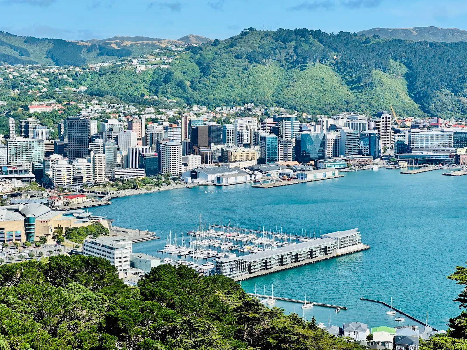
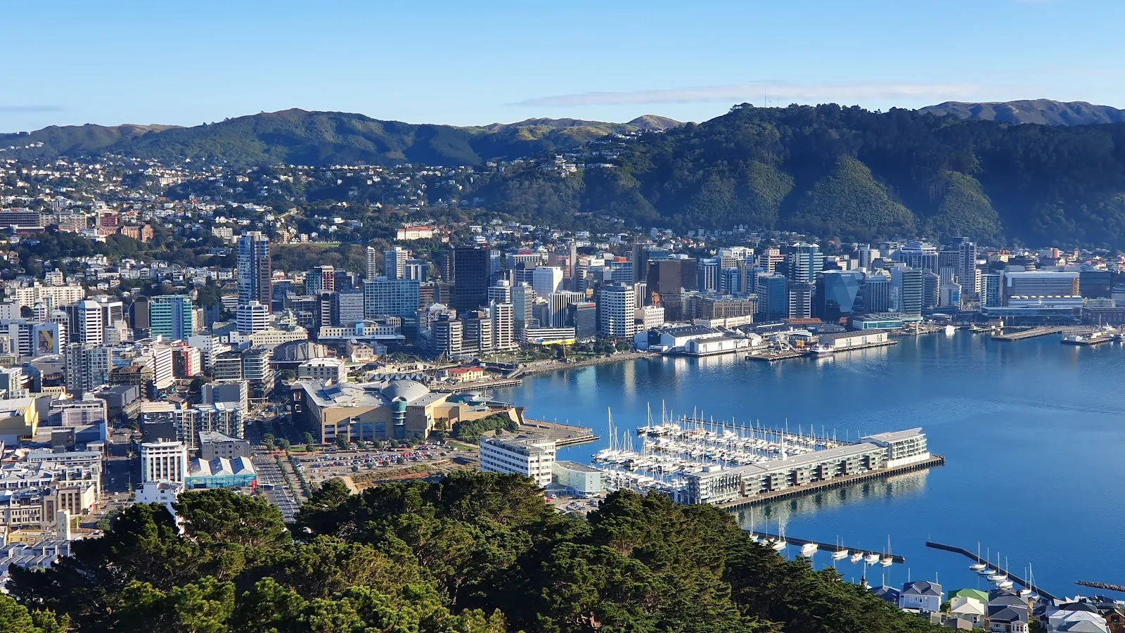
Mount Victoria Lookout rises above Wellington, with a 360-degree view across the city, harbour, hills and airport. On a clear day, you can see farther south towards Cook Strait and across to the South Island. Walk up through the Town Belt on bush-lined tracks, or drive to the summit. Information panels cover the mountain’s history, and the open grassy area is a good place to pause with a picnic or watch aircraft approach the airport. Sunset brings warm light over the city, but check visibility before setting out if the hills are foggy.
Views from the summit
At 196 metres above Wellington, Mount Victoria gives you a broad view across the city, harbour and surrounding hills. Look towards the airport to watch aircraft coming and going; on a clear day, the panorama reaches across Cook Strait towards the South Island. The height also helps you see how the city and its harbour sit among Wellington’s hills.
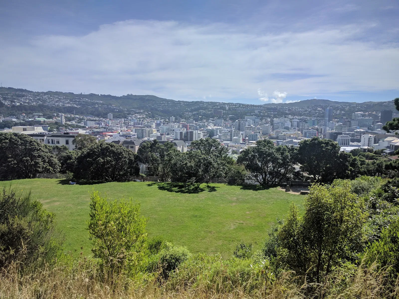
The lookout is a place to pause and get your bearings, or simply sit on the grass with a picnic. Benches are also available. Information panels at the summit add context to the view, including details about Mount Victoria’s past as a strategic military location during the Second World War.
Walking up through the Town Belt
Several walking tracks lead to the lookout through the Town Belt, including routes from the city centre and Oriental Bay. The Southern Walkway connects with the area. A walk from the centre takes around half an hour to 40 minutes according to the route described; some sections are steep, so allow for an uphill effort and wear shoes suited to uneven ground.
There is more than one way up and down, so you can choose a different track for the return. The bush-lined paths pass through trees and vegetation before opening out at the summit. If you want the view without the climb, you can drive to the top. A city bus also travels most of the way up, though it does not reach the summit.
Choosing when to go
Clear conditions make it easier to see across the harbour and hills. Fog can obscure the view, so check visibility before making the trip if photography is a priority. Sunset is a good time to see the city in warm light, while an early visit can mean a quieter stop. The lookout is accessible at all hours, and parking is available near the top.
The summit can be windy, so bring a layer if you plan to sit outside. For a longer outing, take a walking route from the city or Oriental Bay; if you have limited time or prefer to avoid the uphill walk, drive up instead.
FAQ
How do you get to Mount Victoria Lookout?
You can drive to the summit or walk up on tracks from the city centre or Oriental Bay. A bus goes most of the way up.
How long does it take to walk up?
A walk from the city centre takes about 30 to 40 minutes, depending on the route. Some sections are steep.
What can you see from the lookout?
The view takes in Wellington, the harbour and surrounding hills, with the airport and Cook Strait visible in clear conditions.
When is a good time to visit?
Go in clear weather for the broadest views. Sunset brings warm light over the city, while fog can obscure the panorama.