
Baja California
Baja California is a Mexican state of Pacific beaches, desert, mountain forest and the Valle de Guadalupe wine valleys, reached by land from California.
We may earn a commission. It never decides our picks.
Baja California is a Mexican state at the northwestern tip of the country, covering the northern half of the Baja California peninsula. Tijuana is its largest city and sits on the US border. The capital is Mexicali, in the Mexicali Valley, where midsummer temperatures often pass 47 °C (116.6 °F). Ensenada, Rosarito and San Felipe are other notable towns on the coast. The state borders California to the north, so it is reached easily by land from the US.
Travelers come for Pacific beaches, food in Tijuana, and the Valle de Guadalupe, Mexico's main wine-producing area. Inland, pine forests in the Sierra de Juárez and Sierra de San Pedro Mártir contrast with desert to the east. Jesuit and Dominican mission sites date from the 1700s. The northwest coast has a Mediterranean climate, with dry, mild summers and cool, rainy winters, and coastal fog is common.
Baja California in five
- Buy Mexican auto insurance before you drive inUS and Canadian car policies generally do not cover you in Mexico. Mexican liability cover is needed for driving, so arrange it with your rental company or a Mexican insurer first.
- Choose the toll road for Tijuana to EnsenadaThe toll road (cuota) is faster and better kept than the free highway, and it follows the coast with ocean views. Carry some pesos for tolls.
- Check tourist permit rules past the border zoneVisitors who travel beyond the border area or stay longer than a few days need a Mexican tourist permit (FMM). Check the immigration rules for your passport and route before you cross.Visas and entry
- Visit the Valle de Guadalupe by dayMany wineries close by early evening and the roads are dark. Stay in Ensenada or at a vineyard, and use a driver if you plan to taste.Ensenada
- Read the current advisory for the stateGovernment advice treats Baja California as a state with some areas of concern. Keep to main roads in daylight and check the current wording for the cities you visit.
Neighborhoods

Tijuana
- Price band: $

Ensenada
- Price band: $$
Things to do in Baja California
See all attractions in Baja California
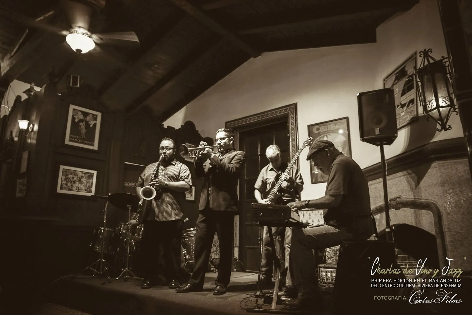
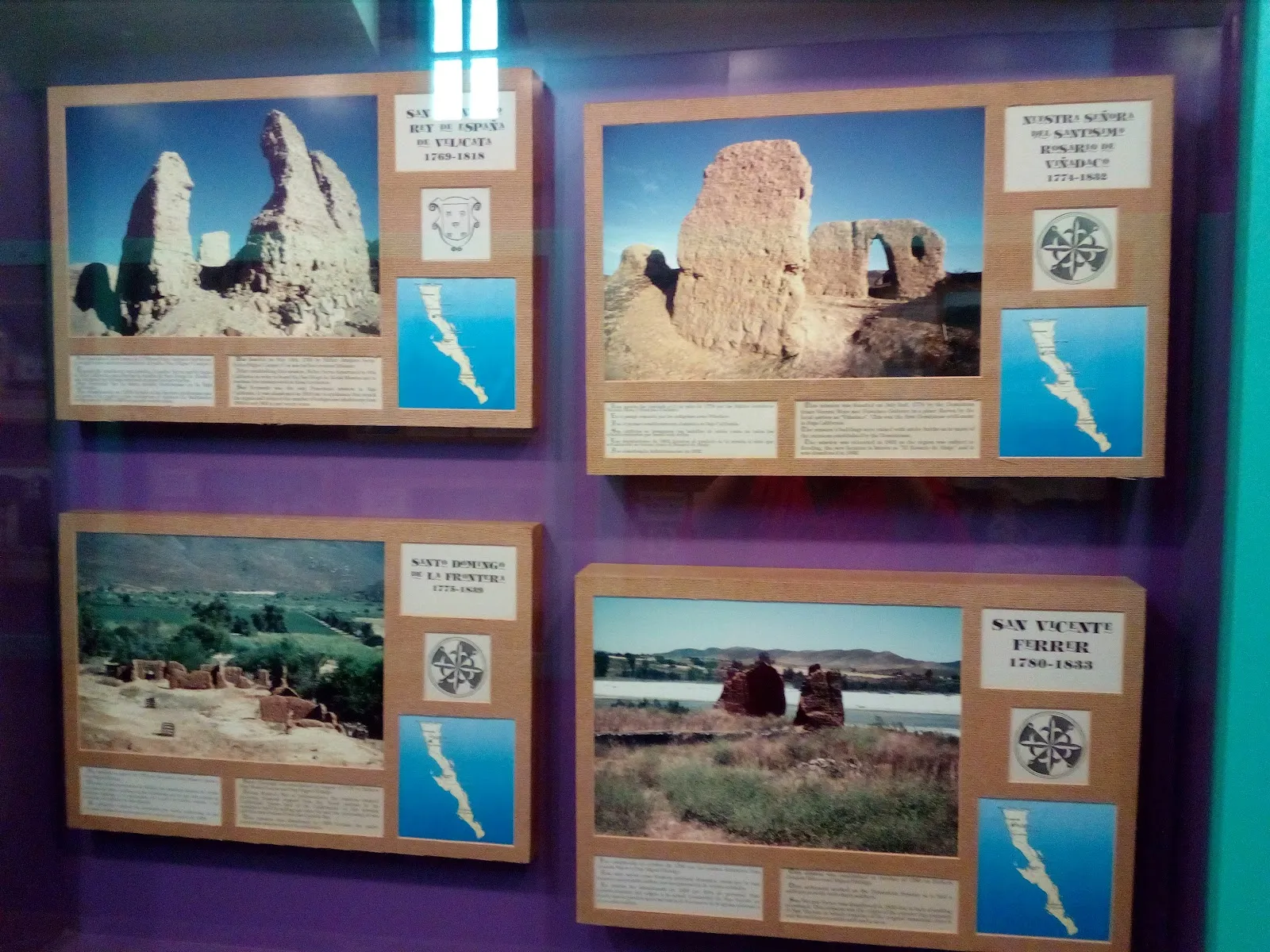



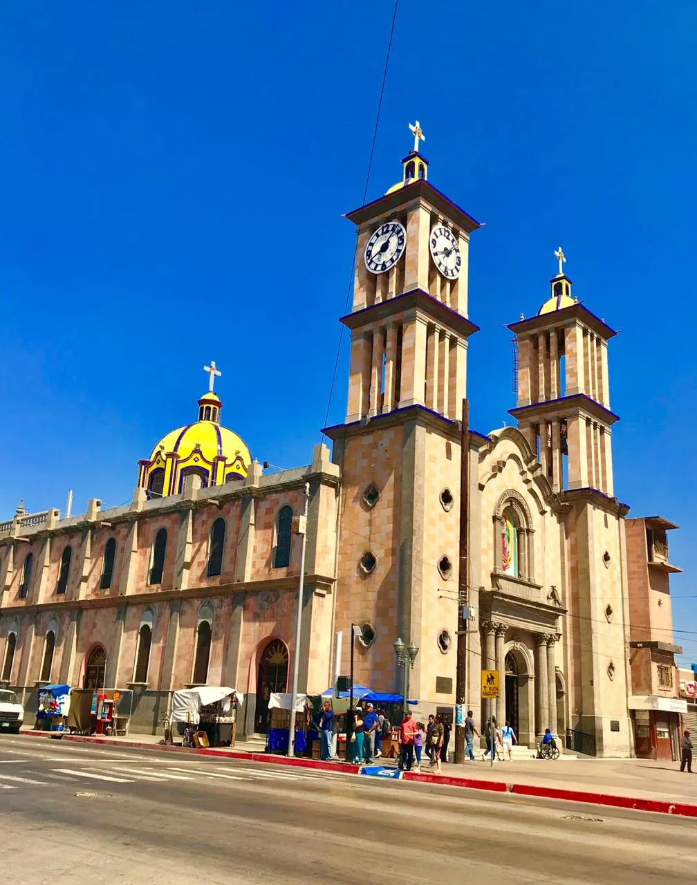



Need to know
- Airport
- Tijuana (TIJ); San Diego (SAN) for cross-border trips
- Getting there
- Land crossings from San Diego; Cross Border Xpress to Tijuana airport
- Getting around
- Rental car, toll road 1D, buses and ride apps
- Best base
- Tijuana or Ensenada; Valle de Guadalupe for wine
- Time needed
- 3–5 days for Tijuana, Ensenada and wine country
Weather by month
- Best
- Good
- Mixed
- Poor
- JanuaryCool, clear
- FebruaryCool, whale season
- MarchMild, quiet
- AprilMild, dry
- MayMild, May gray
- JuneWarm, dry
- JulyWarm, busy
- AugustHarvest starts
- SeptemberHarvest, warm
- OctoberWarm, clear
- NovemberMild, quiet
- DecemberCool, quiet
Right now in Baja California
Local time, today's weather and the exchange rate, refreshed through the day.

16
- Feels like
- 17°
- Humidity
- 77%
- Wind
- 4 km/h
- Chance of rain
- 0%
Baja California
02:42 PM
Monday, November 2
- Today17°8°0%Monday: Partly cloudy. High 17°, Low 8°. Chance of rain 0%.
- Tue20°9°0%Tuesday: Fog. High 20°, Low 9°. Chance of rain 0%.
- Wed22°10°0%Wednesday: Clear. High 22°, Low 10°. Chance of rain 0%.
- Thu21°13°0%Thursday: Cloudy. High 21°, Low 13°. Chance of rain 0%.
- Fri19°13°1%Friday: Cloudy. High 19°, Low 13°. Chance of rain 1%.
- Sat22°13°0%Saturday: Clear. High 22°, Low 13°. Chance of rain 0%.
- Sun24°15°0%Sunday: Cloudy. High 24°, Low 15°. Chance of rain 0%.
Updated 01:56 PM local time · Weather data by Open-Meteo.com
Money
Mid-market rate1 USD = 18.81 MXN
Rates from Nov 2, 2026 · Rates By Exchange Rate API
Day trips by train
- Ensenadaabout 1–1.5 hours by toll roadFish tacos, the harbor and La Bufadora nearby.Read the guide
- Valle de Guadalupeabout 2 hours from TijuanaWineries and farm restaurants; use a driver.
- Tijuanaat the borderFood halls, craft beer and a revived center.Read the guide
Before you go to Baja California
We may earn a commission. It never decides our picks.
Rules for Baja California, checked
- Check whether you need a Mexican tourist permit (FMM) for your trip. Confirm at inm.gob.mx.Source
- Highway 3 has a military inspection near El Chinero, about 55 km north of San Felipe, and all vehicles are subject to it.
- Highway 1D from Ensenada to Tijuana is a toll road about 98 km long.
- Baja California is reported to lead Mexico in overall crime, so check current safety advice on travel.state.gov before you book.Source
Plan around Baja California
Food, culture and the border city
Read the guideEnsenadaFish tacos, wine country and a working harbor
Read the guideSouthern BajaLos Cabos, La Paz and the desert beyond
Read the guideCopper CanyonAnother northern Mexico trip, by train
Read the guideMoney in MexicoPesos, cards and tolls
Read the guideAll of MexicoCities, ruins, beaches and entry basics
Read the guideBaja California FAQ
Is Baja California safe for tourists?
Millions cross each year, but the state carries cautionary government advice. Keep to main roads in daylight, stay in busy areas and read the current US or UK guidance before you go.
Do I need a passport to cross into Baja California?
Yes, a passport is required for most visitors, and a Mexican tourist permit is needed beyond the border zone or for longer stays. Check your own country's rules for the return crossing.
What is there to do in Baja California besides the beach?
Eat in Tijuana, drive the coast to Ensenada, taste wine in the Valle de Guadalupe, and see La Bufadora. It is more about food and wine than resorts.
How long does it take to drive from Tijuana to Ensenada?
About 1 to 1.5 hours on the toll road, about 100 km south. Border waits on the way out can add time in either direction.
When is the best time to visit Baja California?
April to May and September to October for warm days and fewer crowds. The wine harvest runs in late summer. Summers are warm and busy; winters are cool.