
British Virgin Islands
A British Overseas Territory of about 60 islands, known for sailing in sheltered waters and for The Baths on Virgin Gorda.
The British Virgin Islands are a British Overseas Territory in the Leeward Islands, part of the Lesser Antilles in the Caribbean. The territory has about 60 islands and cays, around 16 of them inhabited. Tortola is the largest and holds the capital, Road Town. Virgin Gorda, Jost Van Dyke and Anegada are the other main islands. Most are hilly and volcanic. Anegada is flat, made of limestone and coral.
People go for the sailing. The sheltered waters and steady winds suit recreational sailing, and chartered sailboats are a common way to reach less accessible islands. Other draws are The Baths on Virgin Gorda, white-sand beaches and snorkeling on the coral reefs near Anegada. The climate is tropical, and temperatures barely change through the year. Rain is heaviest from September to November, and the Atlantic hurricane season runs from June to November. Vehicles drive on the left. The main airport, Terrance B. Lettsome International, sits on Beef Island and is linked to Tortola by the Queen Elizabeth II Bridge.
Five things to know before British Virgin Islands
- Complete the BVI ED card online
Since January 1, 2025 travelers complete the embarkation and disembarkation card online up to 72 hours before arrival, by air or sea. Official ED card
- Budget for the $10 environmental and tourism levy
The UK and Canadian governments both list a $10 environmental and tourism levy on arrival. Check with your airline or ferry operator how it is collected.
- Carry your passport on ferries from St Thomas
Ferries from the US Virgin Islands cross an international border into Road Town or West End, where you clear BVI immigration. You clear US entry again on the way back.
- Drive on the left in a left-hand-drive car
The BVI drive on the left, but many rental cars are built for driving on the right. Roads on Tortola are steep and tight, so take hills slowly.
- Book around hurricane season
Hurricane season runs June 1 to November 30, with most storms from August to October. Charter bases get busiest December to April; many boats avoid September and October. Travel insurance
British Virgin Islands travel guides
Practical guides from writers who live there.
The online ED card, the $10 levy and ferry border crossings.
Read the guideTravel insuranceMedical, evacuation and storm cover to check for the BVI.
Read the guidePhones and eSIMData plans, roaming charges and coverage between islands.
Read the guideMoney and costsUS dollars, charter costs and marine park fees.
Read the guideGetting aroundInter-island ferries, charters and flights via St Thomas.
Read the guide


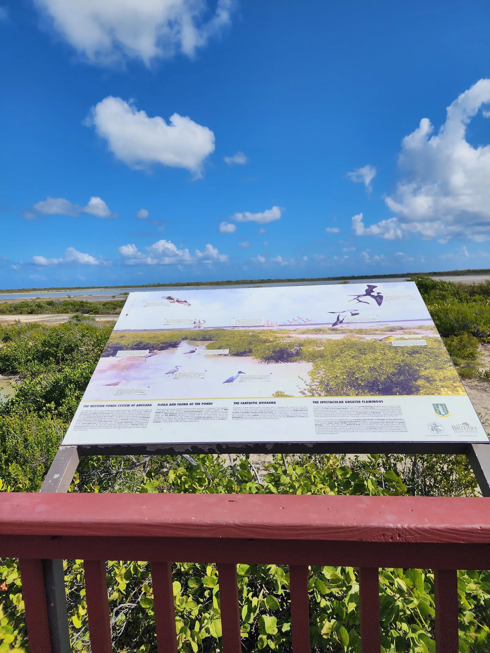
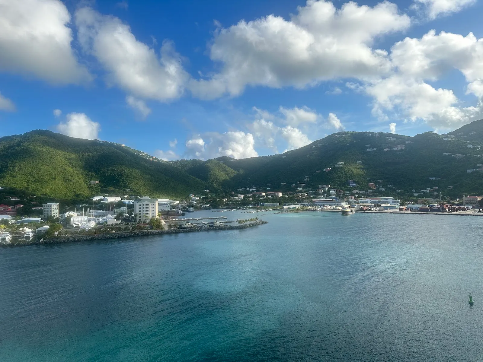
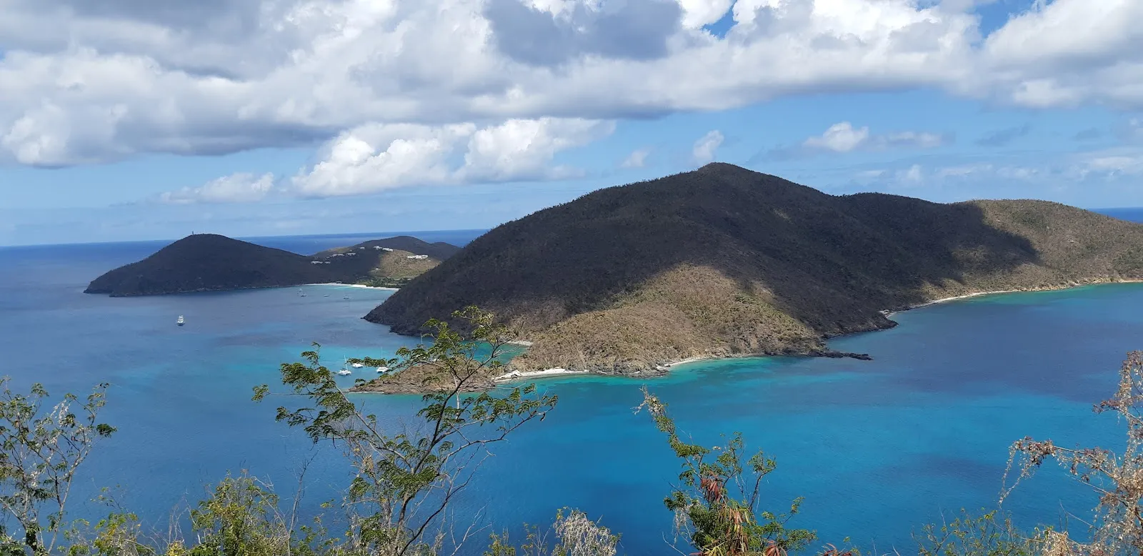
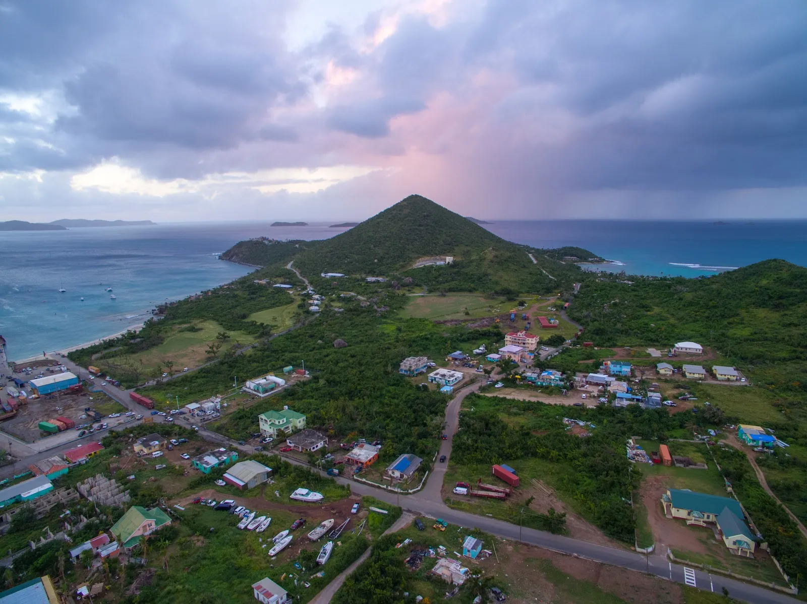
Destinations in British Virgin Islands
When to go
- Rainy days
- Days with storms
- Best
- JanuaryPartly cloudy12 rainy daysHigh26°Low25°Dry, peak seasonJanuaryPartly cloudy
Best
- High
- 26°
- Low
- 25°
- Precipitation
- 34 mm
- Rainy days
- 12
- Snowy days
- 0
- Days with storms
- 0
Dry, peak season
- FebruaryRain12 rainy daysHigh26°Low25°Dry, breezyFebruaryRain
Best
- High
- 26°
- Low
- 25°
- Precipitation
- 47 mm
- Rainy days
- 12
- Snowy days
- 0
- Days with storms
- 0
Dry, breezy
- MarchPartly cloudy9 rainy daysHigh26°Low25°Dry, sunnyMarchPartly cloudy
Best
- High
- 26°
- Low
- 25°
- Precipitation
- 32 mm
- Rainy days
- 9
- Snowy days
- 0
- Days with storms
- 0
Dry, sunny
- AprilRain12 rainy daysHigh26°Low25°Dry, quieterAprilRain
Best
- High
- 26°
- Low
- 25°
- Precipitation
- 56 mm
- Rainy days
- 12
- Snowy days
- 0
- Days with storms
- 0
Dry, quieter
- MayRain13 rainy daysHigh27°Low26°Warm, quietMayRain
Best
- High
- 27°
- Low
- 26°
- Precipitation
- 66 mm
- Rainy days
- 13
- Snowy days
- 0
- Days with storms
- 0
Warm, quiet
- JuneRain13 rainy daysHigh28°Low27°Hurricane seasonJuneRain
- High
- 28°
- Low
- 27°
- Precipitation
- 64 mm
- Rainy days
- 13
- Snowy days
- 0
- Days with storms
- 0
Hurricane season
- JulyRain16 rainy daysHigh28°Low27°Hot, showersJulyRain
- High
- 28°
- Low
- 27°
- Precipitation
- 95 mm
- Rainy days
- 16
- Snowy days
- 0
- Days with storms
- 0
Hot, showers
- AugustRain17 rainy daysHigh29°Low27°Hurricane riskAugustRain
- High
- 29°
- Low
- 27°
- Precipitation
- 111 mm
- Rainy days
- 17
- Snowy days
- 0
- Days with storms
- 0
Hurricane risk
- SeptemberRain18 rainy days1 day with stormsHigh29°Low28°Hurricane peakSeptemberRain
- High
- 29°
- Low
- 28°
- Precipitation
- 184 mm
- Rainy days
- 18
- Snowy days
- 0
- Days with storms
- 1
Hurricane peak
- OctoberRain18 rainy daysHigh29°Low27°Storm risk, rainOctoberRain
- High
- 29°
- Low
- 27°
- Precipitation
- 183 mm
- Rainy days
- 18
- Snowy days
- 0
- Days with storms
- 0
Storm risk, rain
- NovemberRain17 rainy daysHigh28°Low26°Season endsNovemberRain
- High
- 28°
- Low
- 26°
- Precipitation
- 177 mm
- Rainy days
- 17
- Snowy days
- 0
- Days with storms
- 0
Season ends
- DecemberRain14 rainy daysHigh27°Low26°Busy holidaysDecemberRain
- High
- 27°
- Low
- 26°
- Precipitation
- 61 mm
- Rainy days
- 14
- Snowy days
- 0
- Days with storms
- 0
Busy holidays
Average daily high and low in Road Town, 2016–2025. Rainy day: 1 mm of rain or more.
Right now in British Virgin Islands
Local time, today's weather and the exchange rate, refreshed through the day.

28
- Feels like
- 30°
- Humidity
- 80%
- Wind
- 29 km/h
- Chance of rain
- 69%
Tortola
09:34 PM
Monday, November 2
- Today30°27°69%Monday: Drizzle. High 30°, Low 27°. Chance of rain 69%.
- Tue29°28°45%Tuesday: Drizzle. High 29°, Low 28°. Chance of rain 45%.
- Wed29°26°39%Wednesday: Rain. High 29°, Low 26°. Chance of rain 39%.
- Thu29°26°39%Thursday: Rain. High 29°, Low 26°. Chance of rain 39%.
- Fri28°26°82%Friday: Drizzle. High 28°, Low 26°. Chance of rain 82%.
- Sat28°26°69%Saturday: Thunderstorms. High 28°, Low 26°. Chance of rain 69%.
- Sun29°28°46%Sunday: Drizzle. High 29°, Low 28°. Chance of rain 46%.
Updated 06:04 PM local time · Weather data by Open-Meteo.com
Money
Mid-market rate1 EUR = 1.116 USD
Rates from Nov 2, 2026 · Rates By Exchange Rate API
Before you go to British Virgin Islands
British Virgin Islands FAQ
Do I need a passport for the British Virgin Islands?
Yes, including US citizens arriving from the US Virgin Islands. The BVI is a separate British territory, and you also complete an online ED card before arrival.
How do I get to the BVI?
Fly to Tortola via regional hubs such as San Juan or Antigua, or fly to St Thomas and take a ferry to Road Town or West End. Check that ferry times match your flight.
What is the BVI tourism levy?
The UK and Canadian travel advice both list a $10 environmental and tourism levy on arrival. Check with your airline, ferry operator or the BVI government how it is collected and whether other fees apply.
When is hurricane season in the BVI?
June 1 to November 30, with the highest risk from August to October. December to April is drier and calmer, and prices are highest then; May and June are a good compromise.
Can I visit the BVI without sailing?
Yes. Ferries link Tortola, Virgin Gorda and Jost Van Dyke, and there are hotels and villas on each. Anegada is reached by ferry or small plane.