Jost Van Dyke is a small, mountainous island in the British Virgin Islands, a British Overseas Territory in the northern Caribbean. Of the territory's four main islands, it is the smallest, covering about 8 square kilometers (3 square miles). It lies roughly 8 kilometers northwest of Tortola, and its highest point, Majohnny Hill, rises 321 meters (1,053 feet). Locals and visitors often shorten the name to JVD or Jost.
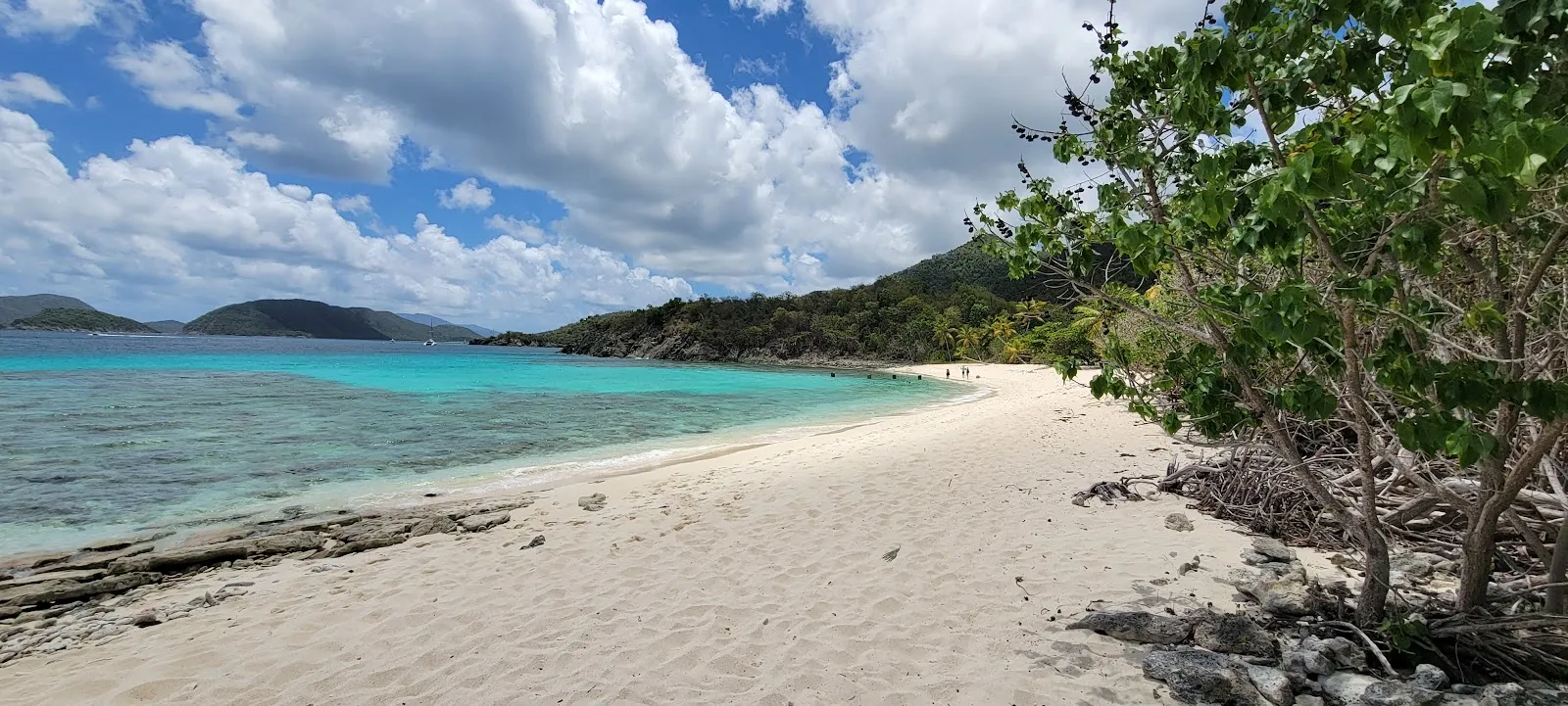
Great Harbour, also called Belle Vue, is the island's most visited spot, with a strip of small bars and restaurants along the sand. White Bay has beach bars that draw yachts and boaters, and the Bubbly Pool, a natural rock formation nearby, makes the water bubble when waves hit the rocks. Ferries run from Tortola, Saint Thomas and Saint John. The dry season, roughly December through April, suits beach days. Hurricane Irma struck in September 2017 and destroyed most of the island's homes, so check which services are open before you go.
Jost Van Dyke in five
- Take a ferry or private boat from TortolaFerries run from Tortola, Saint Thomas and Saint John, and private boats also reach the island. Check the ferry operator's current schedule before you plan the day around it.Getting around
- Carry US dollars on the islandThe BVI uses the US dollar, so cash from the US Virgin Islands works here. Keep small notes for the beach bars.Money and costs
- Watch the water at the Bubbly PoolThe Bubbly Pool is a natural rock formation near White Bay, and waves crashing on the rocks make the water bubble. Check the swell before you swim near the rocks.
- Tie up at the dock for day boatsThe island has a dock for day boaters. Great Harbour is one of the busiest ports in the BVI, and nearly 7,000 boats cleared through it in 2008.
- Check which services are open before you goHurricane Irma in September 2017 damaged the primary school, the health clinic and the island's two gas stations. Confirm what is open on the day you travel.
Things to do in Jost Van Dyke
See all attractions in Jost Van Dyke



Need to know
- Currency
- US Dollar (USD)
- Entry
- Entry rules depend on your passport; check with BVI immigration
- Emergency
- 911 or 999 for police, fire and ambulance
- Tipping
- Check the bill for a service charge before tipping
- Time
- UTC-4, no daylight saving
Weather by month
- Best
- Good
- Mixed
- Poor
- JanuaryDry, busy season
- FebruaryDry, peak season
- MarchDry, warm
- AprilDry, quieter
- MayWarming, quieter
- JuneHurricane season
- JulyHurricane season
- AugustPeak storm season
- SeptemberPeak storm season
- OctoberStorm season
- NovemberStorm season ends
- DecemberHoliday crowds
Right now in Jost Van Dyke
Local time, today's weather and the exchange rate, refreshed through the day.

29
- Feels like
- 34°
- Humidity
- 72%
- Wind
- 31 km/h
- Chance of rain
- 61%
Jost Van Dyke
04:38 PM
Monday, November 2
- Today30°28°61%Monday: Drizzle. High 30°, Low 28°. Chance of rain 61%.
- Tue29°27°53%Tuesday: Drizzle. High 29°, Low 27°. Chance of rain 53%.
- Wed29°27°37%Wednesday: Drizzle. High 29°, Low 27°. Chance of rain 37%.
- Thu28°26°45%Thursday: Drizzle. High 28°, Low 26°. Chance of rain 45%.
- Fri28°26°76%Friday: Thunderstorms. High 28°, Low 26°. Chance of rain 76%.
- Sat28°27°69%Saturday: Thunderstorms. High 28°, Low 27°. Chance of rain 69%.
- Sun28°26°43%Sunday: Drizzle. High 28°, Low 26°. Chance of rain 43%.
Updated 12:52 PM local time · Powered by WeatherAPI.com · Weather data by Open-Meteo.com
Money
Mid-market rate1 EUR = 1.116 USD
Rates from Nov 2, 2026 · Rates By Exchange Rate API
Day trips by train
- Tortolaabout 8 km by boatThe main island of the BVI, with ferry and boat links to Jost.
- Saint Johnabout 8 km by boatA US Virgin Island about 8 km south of Jost, with group tours that visit the island.
- Saint Thomasby ferry; check schedulesA larger US Virgin Island with a ferry port that links it to Jost.
Before you go to Jost Van Dyke
Rules for Jost Van Dyke, checked
- Check the UK travel advice for the British Virgin Islands and the entry rules for your passport before you book.Source
- Carry your passport for any trip to or from the US Virgin Islands, since those crossings are international.
- Mooring and anchoring in BVI waters are regulated. Check the rules with the BVI National Parks Trust before you anchor a boat.
Plan around Jost Van Dyke
Options for a night on Jost, and when a day trip is enough.
Read the guideGetting to Jost Van DykeFerries and private boats to and from Jost Van Dyke.
Read the guideVisas and entryEntry rules by passport before you book.
Read the guideMoney and costsUS dollars and what a day on the island costs.
Read the guideTours and ticketsGroup tours that reach the island from the US Virgin Islands.
Read the guideBritish Virgin IslandsThe territory as a whole, with Tortola and the other islands.
Read the guideJost Van Dyke FAQ
Is Jost Van Dyke worth visiting?
Yes, if you want beaches, beach bars and boat anchorages. The island covers roughly 8 square kilometers and had 298 residents at the 2010 Census.
How many days do you need on Jost Van Dyke?
A day covers Great Harbour, White Bay and the Bubbly Pool. Stay a night for the evening at the bars and a slower start to the next day.
Can you visit Jost Van Dyke as a day trip from Saint Thomas?
Yes. Ferries run from Saint Thomas and Saint John, and group tours from the US Virgin Islands visit regularly. Check the ferry schedule before you book a return.
Where is Jost Van Dyke?
It lies in the northern Virgin Islands, about 8 kilometers northwest of Tortola and about 8 kilometers north of Saint John. Little Jost Van Dyke, a smaller islet, lies off its eastern end.
What is the Bubbly Pool on Jost Van Dyke?
It is a natural rock formation near White Bay. Waves crashing on the rocks make the water bubble, and it is one of the island's most popular stops.
Who is the island named after?
The name may come from a 17th-century Dutch privateer, Joost van Dyk, who used its harbors as a hideout. No factual evidence confirms this.