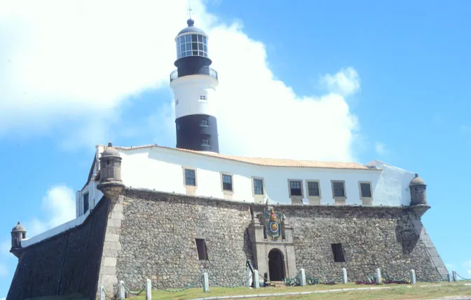
At Farol da Barra in Salvador’s Barra district, the Museu Náutico da Bahia occupies the lighthouse within Forte de Santo Antônio da Barra. Its displays trace the region’s maritime past through underwater archaeological finds, navigation instruments, nautical signals, ship models and material on the geography and culture of All Saints’ Bay. Climb the lighthouse tower for views over the bay and coastline, then explore the fort and nearby beach. The museum also has a café and restaurant. Go early for a quieter visit, and bring a translation app if you do not read Portuguese.
Inside Forte de Santo Antônio da Barra
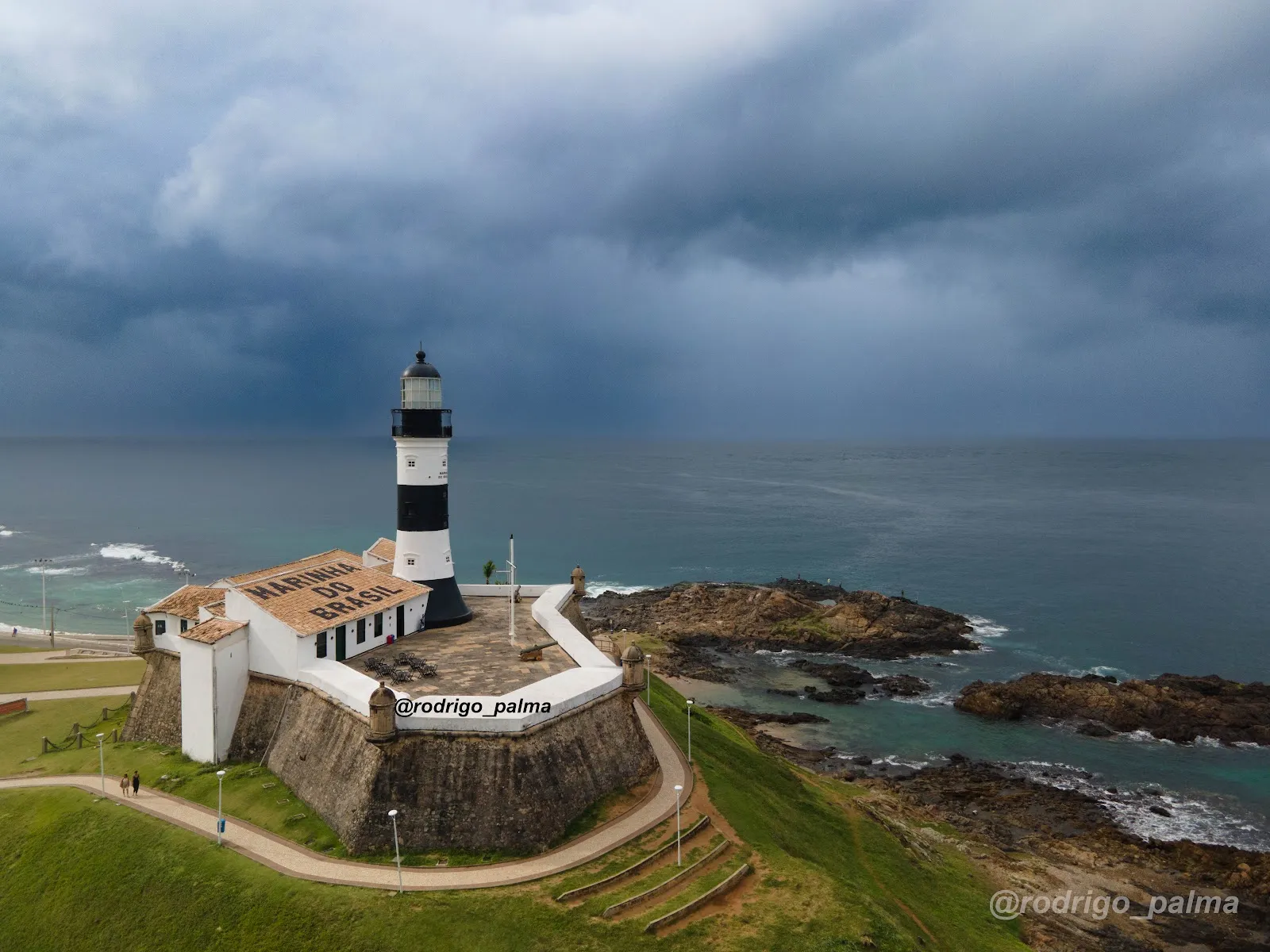
The museum is housed in Farol da Barra, the lighthouse within Forte de Santo Antônio da Barra. The fort and lighthouse sit at the edge of Barra, overlooking All Saints’ Bay. The complex brings together a military site, a working maritime landmark and a museum focused on Bahia’s relationship with the sea.
The fort’s Portuguese-style construction dates to the 1530s. The lighthouse has guided ships into and out of the bay since 1698; the current lighthouse dates to 1839. Its position on the coast helps explain why the site became an important point for protecting Salvador and navigating the bay.
Maritime objects and the bay’s history
The collection includes archaeological finds recovered underwater, along with maps, charts, navigation instruments and equipment used for nautical signaling. Ship models represent vessels from different places and periods. Together, these objects give the displays a practical focus on how people navigated, built and signaled at sea.
A permanent exhibition covers the geography, history, anthropology and culture of All Saints’ Bay. Other material addresses Salvador’s maritime, military and administrative life. The exhibits connect objects from shipwrecks and seafaring with the wider history of the city and its bay.
The lighthouse tower and the surrounding coast
Visitors can climb the lighthouse tower with a museum admission ticket. From the top, the view takes in All Saints’ Bay and the coastline around Barra. Leave time for the climb as well as the indoor exhibits, and consider visiting early if you prefer a quieter setting.
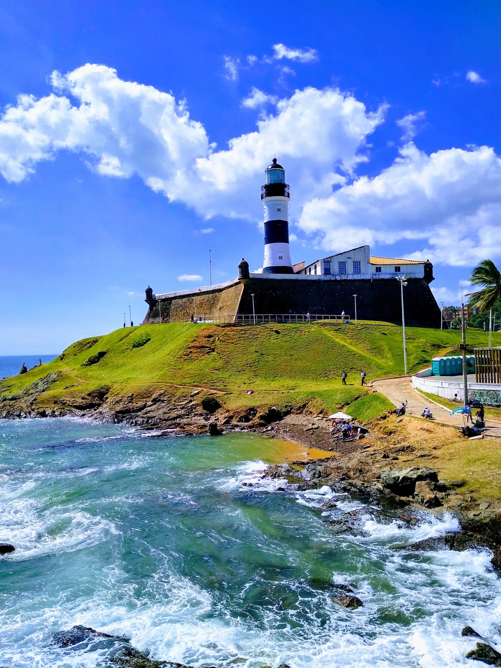
The fort stands beside beaches and small coves, so a visit can continue outdoors. The shoreline from the lighthouse toward Porto da Barra faces west across the bay, where the water is described as calmer and sunsets are a draw. On the Atlantic-facing stretch toward Cristo, the sea is more active and surfers can be found. The museum complex also has a café and restaurant.
FAQ
Where is the Museu Náutico da Bahia?
It is inside Farol da Barra, within Forte de Santo Antônio da Barra, in Salvador’s Barra district.
What can you see at the museum?
Displays include underwater archaeological finds, maps, navigation instruments, nautical signaling equipment and ship models. A permanent exhibition covers the geography, history, anthropology and culture of All Saints’ Bay.
Can you climb the lighthouse?
Yes. Visitors can climb the tower with a museum admission ticket.
When is the museum open?
It is closed on Mondays and open Tuesday through Sunday, from 9 am to 5:30 pm.


