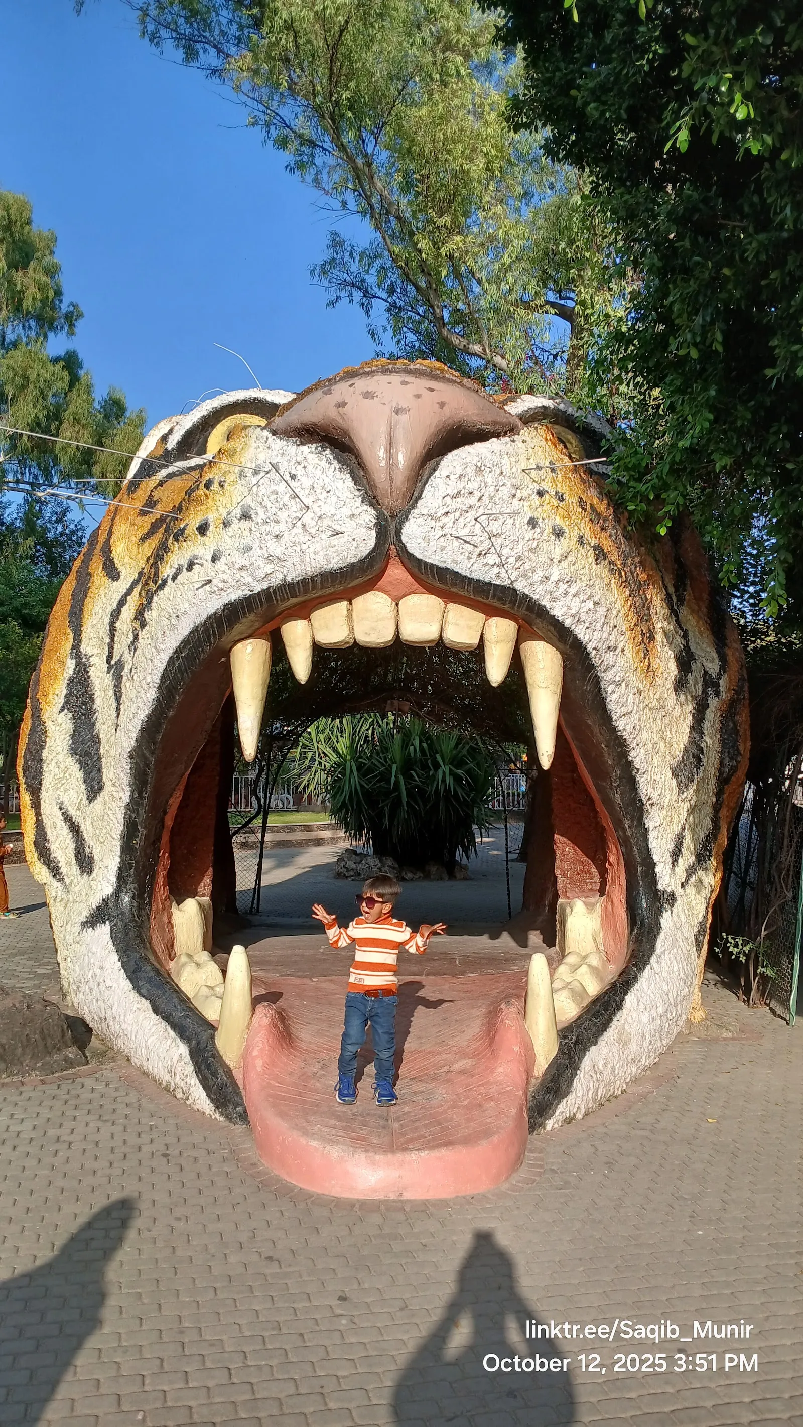
Shakarparian National Park is a hilltop park beside the Zero Point Interchange in Islamabad, at the foot of the Margalla Hills. Its viewpoints look over the capital, Rawal Lake and Faisal Mosque, and on clear evenings the city lights come on below you. Wide walking and jogging tracks run through lawns and shaded picnic areas. The Pakistan Monument and the Lok Virsa Heritage Museum sit next to the park, so a walk and a cultural stop fit into one visit. Entry is free.
Where the park sits and how it began
Shakarparian covers a hill beside the Zero Point Interchange, at the foot of the Margalla Hills, more than 600 metres above sea level. It is one of the older visitor spots in Islamabad and has long been a picnic destination for the city.
Before the 1947 partition, leaders of the Gakhar tribe founded a settlement in this area. The clan was later relocated, and the land became a park for the newly designated federal capital in 1960 and 1961. One account also names the hill as the spot where President Ayub Khan stood and chose the site of the new capital.
The viewpoints
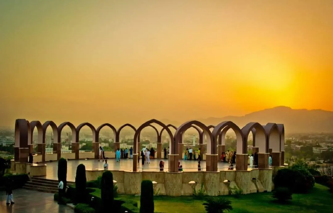
The park has East and West Viewpoints, and both look over Islamabad and Rawalpindi. From the main viewpoint on the central hill you can see Faisal Mosque in the distance, Rawal Lake, the Red Zone buildings and the line of the Margalla Hills behind. On a clear day the view reaches toward the hills near Murree, and Gaddafi Stadium is also visible from the park.
Late afternoon is the favoured hour. The light softens over the city, and after dark the lights spread out below. Parts of the park are lit with coloured lights at night, which draws families and children.
The Pakistan Monument and the museums next door
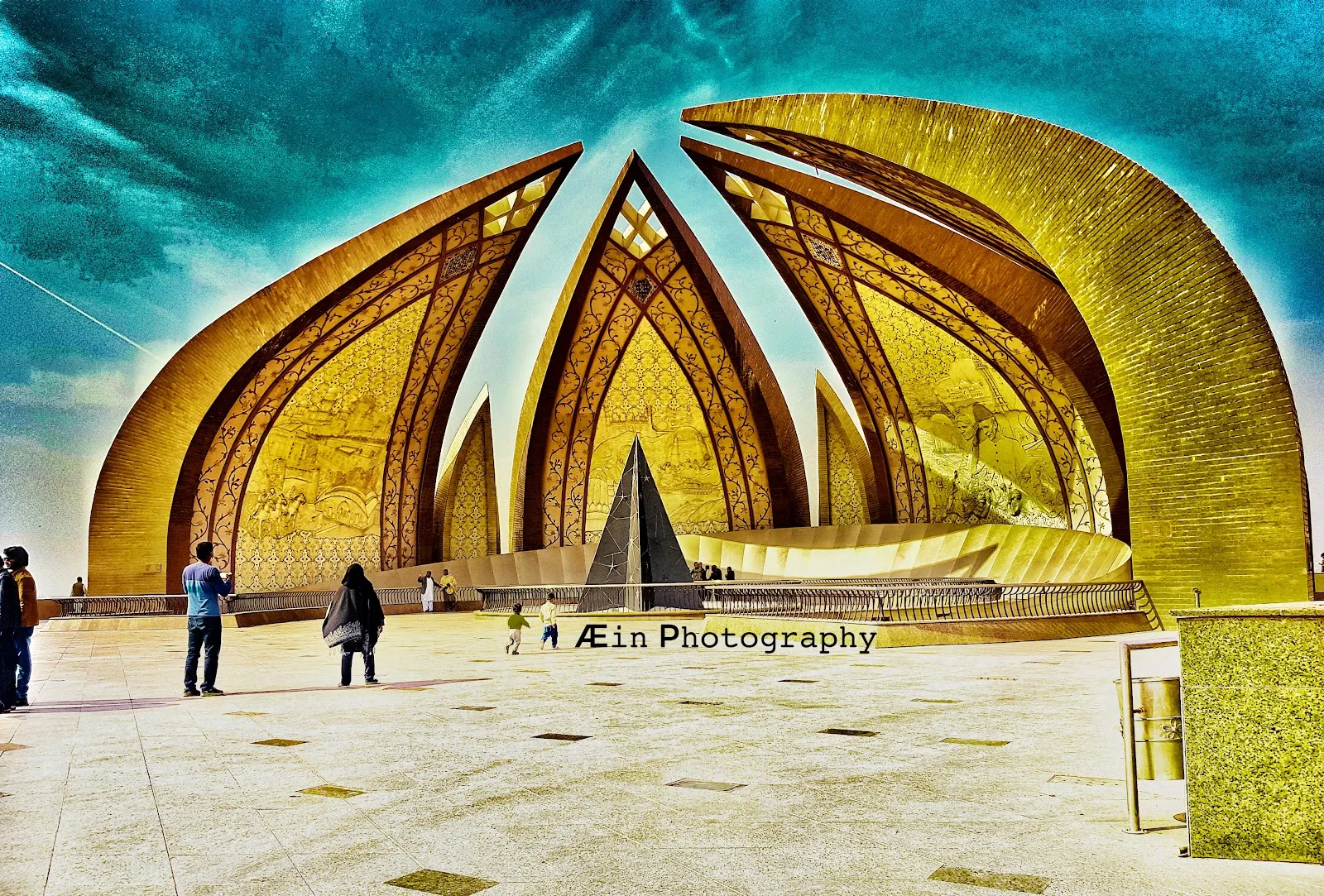
The Pakistan Monument stands on the edge of the park. It is dedicated to national unity and designed to resemble a lotus flower, with a central black triangle that stands for Islamabad as the capital. The granite structure is reddish-brown. A museum is attached to the monument, and the Lok Virsa Heritage Museum is also next to the park.
Outside the monument there are stalls selling snacks and candyfloss, and camel rides are offered. Pairing the monument and a museum with a walk makes an easy half day.
Walking, picnics and trees
Tree-lined paths cross the hillside, with limestone slopes, pine trees, flowerbeds, a rose garden and old terrace gardens. Parrots, rabbits and monkeys live in the park. The tracks are wide and kept clean, so they suit both an early jog and a slow evening walk.
The Head of State Tree plantation area is a memorial to trees planted by visiting foreign dignitaries. Elsewhere there are shaded benches, picnic tables and barbecue grills. The park has also hosted cultural festivals, concerts and community gatherings.
Facilities for families and groups
The park has a playground with slides and swings, a dog park, cycling lanes, a skateboarding area, and basketball, volleyball and tennis courts. Public restrooms and security staff are on site, and the entrance and a parking lot are wheelchair accessible. Parking is available both free and paid, but it can be limited at busy times.
FAQ
Is there an entry fee for Shakarparian National Park?
No, entry is free. Food stalls and some parking may cost extra.
What is the best time of year to visit Shakarparian?
October to March, when temperatures are about 10 to 25°C. Within a day, late afternoon is good for sunset and early morning is quiet.
What can you see from the Shakarparian viewpoints?
Islamabad and Rawalpindi, Faisal Mosque, Rawal Lake, the Red Zone buildings and the Margalla Hills. On clear days the view stretches toward the hills near Murree.
What else is near the park?
The Pakistan Monument and its museum are next to the park, and the Lok Virsa Heritage Museum is also adjacent.
Is Shakarparian good for children?
Yes. There is a playground with slides and swings, plus picnic lawns, cycling lanes and sports courts. Weekends are busier, so a weekday is calmer.