Travel advisory · MexicoSan Cristóbal de las Casas is in or near an area where governments advise against all but essential travel: Federal Highway 199 San Cristóbal de las Casas–Palenque.Advice depends on your passport. Read your own government's advice before you book.Official advice
- Colima · avoid all travel · Canada, Germany, France, UK
- Guerrero · avoid all travel · Canada, Germany, Spain, France, New Zealand, UK
- Sinaloa · avoid all travel · Canada, Germany, Spain, France, New Zealand, UK
- Chiapas · avoid non-essential travel · Canada, Spain, France
- Chihuahua · avoid non-essential travel · Canada, France, UK
- Federal Highway 199 San Cristóbal de las Casas–Palenque · avoid non-essential travel · France, UK
- Guanajuato, south of Highways 43D and 45D · avoid non-essential travel · Canada, New Zealand
- Guatemala border region, Chiapas · avoid non-essential travel · Germany, France, New Zealand
- Lagunas de Zempoala National Park · avoid non-essential travel · Canada, New Zealand
- Michoacán · avoid non-essential travel · Canada, Germany, New Zealand, UK
- Nayarit, within 20 km of Sinaloa and Durango border · avoid non-essential travel · Canada, New Zealand
- Nuevo León, except Monterrey · avoid non-essential travel · Canada, New Zealand
- Piedras Negras · avoid non-essential travel · Spain, France
- Route 85 Monterrey–Nuevo Laredo · avoid non-essential travel · Spain, France
- Sonora · avoid non-essential travel · Canada, New Zealand
- Tamaulipas · avoid non-essential travel · Canada, France, UK
- Tecate · avoid non-essential travel · France, UK
- Tijuana · avoid non-essential travel · France, UK
- US border region · avoid non-essential travel · Germany, Spain, France
- Zacatecas · avoid non-essential travel · Canada, Germany, Spain, France, UK
Also named by one government: Celaya–Irapuato–Salamanca triangle, Guanajuato (France), Culiacán and surrounding area (France), North of Ciudad Victoria, Tamaulipas (Germany), Route 129 Martinez de la Torre–Teziutlán (France), Route 131 Tapacoyan–Perote (France), Route 180 Martinez de la Torre–Papantla secondary roads (France), Route 40 Monterrey–Reynosa (France), Southern Michoacán from Uruapán to the coast (France), Acapulco (France), Baja California, except Tijuana and Tecate (France), Ciudad Acuña (Spain), Ciudad Juárez and surrounding area (Spain), Ciudad Obregón (France), Coahuila, except southern part (New Zealand), Coatzacoalcos (France), Colonias north and north-east of the Zócalo, Mexico City (France), Durango (France), East Nuevo León, bordering Tamaulipas (France), Guanajuato (Spain), Guanajuato, Highway 45 between León and Irapuato (New Zealand), Guanajuato, south-west of Highway 45D (UK), Jalisco, within 50 km of Michoacán border (Canada), Monclova (Spain), Morelos (France), Nayarit (France), Nogales (France), Non-tourist rural areas of Baja California (Spain), Non-tourist rural areas of Chihuahua (Spain), Non-tourist rural areas of Coahuila (Spain), Non-tourist rural areas of Durango (Spain), Non-tourist rural areas of Sonora (Spain), Northern municipalities of Jalisco (UK), Northern Tamaulipas from San Fernando to US border (Spain), Northern Veracruz bordering Tamaulipas (Spain), Northern Veracruz from Martinez de la Torre (France), Route 150D Puebla–Orizaba (France), Route 190 Oaxaca–Santo Domingo Tehuantepec (France), Route 85 and 83 Monterrey–Ciudad Victoria–Tampico (France), Route 95 Mexico City–Cuernavaca (France), Selva Lacandona (France), South and south-west of Lake Chapala, Jalisco (UK), South-west Jalisco and Los Altos, except Puerto Vallarta (France), South-west Michoacán (France), South-west Tamaulipas (France), Southern Guanajuato state (France), Southern Michoacán south of Morelia (Spain), Strip within 40 km of Guatemalan border, Chiapas (UK), Tepic (New Zealand), Toluca (France), Veracruz city (France)
| Government | Advice | Updated | Read the advice |
|---|---|---|---|
| United Kingdom (FCDO) | No advice against the whole country (regional advisories) | – | Read the advice |
| United States (State Dept) | Exercise increased caution | May 29, 2026 | Read the advice |
| Canada (Global Affairs) | Exercise a high degree of caution (regional advisories) | – | Read the advice |
| Germany (Auswärtiges Amt) | Besondere Vorsicht walten lassen (Sicherheitslage) (regional advisories) | Oct 19, 2026 | Read the advice |
| New Zealand (SafeTravel) | Exercise increased caution (regional advisories) | – | Read the advice |
| France (Ministry for Europe and Foreign Affairs) | Vigilance renforcée pour le reste du pays (regional advisories) | – | Read the advice |
Checked daily from the governments' published advice; last checked Nov 2, 2026. RoamLedger summarises official advice; it is not advice from any government.

San Cristóbal de las Casas
A cool highland town of colonial streets, indigenous markets and Holy Week processions, reached by road from Tuxtla Gutiérrez.
We may earn a commission. It never decides our picks.
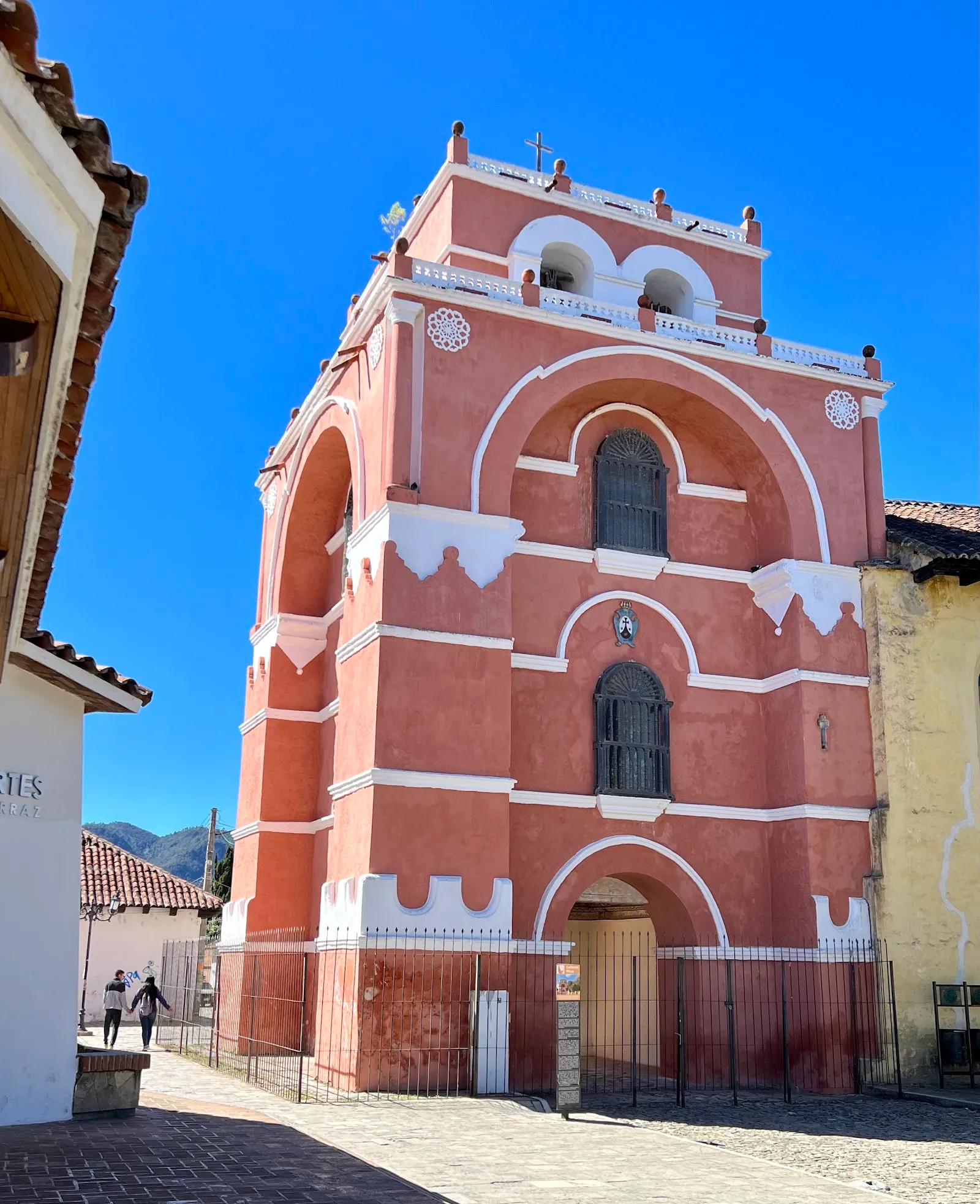
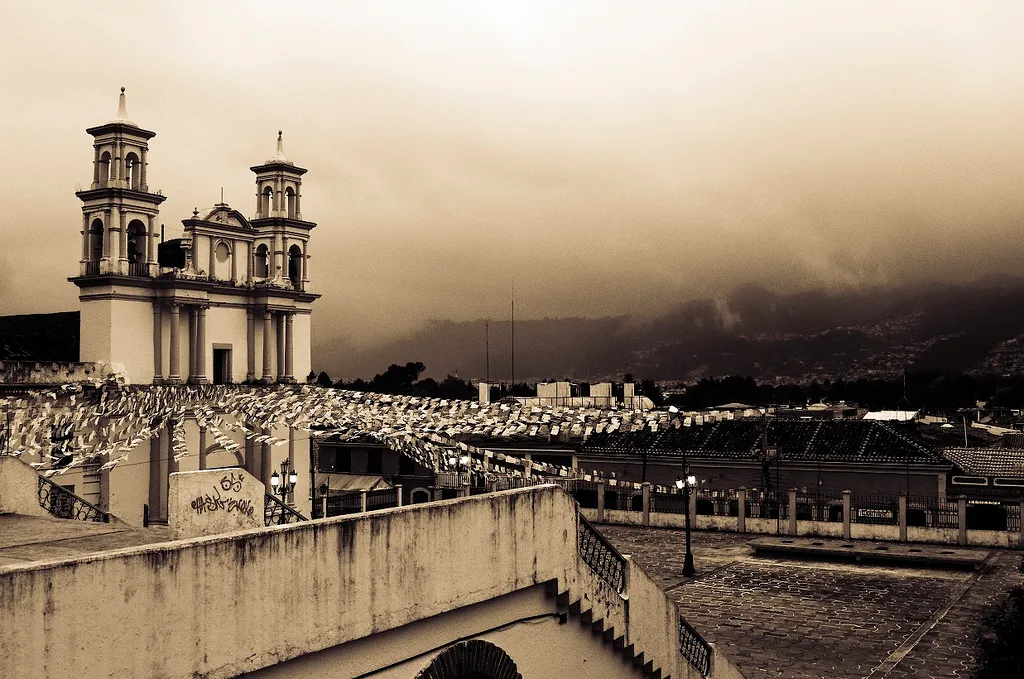
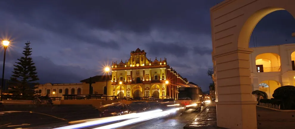
San Cristóbal de las Casas is a town in the Central Highlands of Chiapas, southern Mexico, at about 2,200 meters above sea level, set in a small valley ringed by hills. The historic center keeps its Spanish colonial layout, with narrow cobblestone streets, red clay tile roofs and wrought iron balconies, often decorated with flowers. It is the cultural capital of Chiapas, though the state government moved to Tuxtla in 1892.
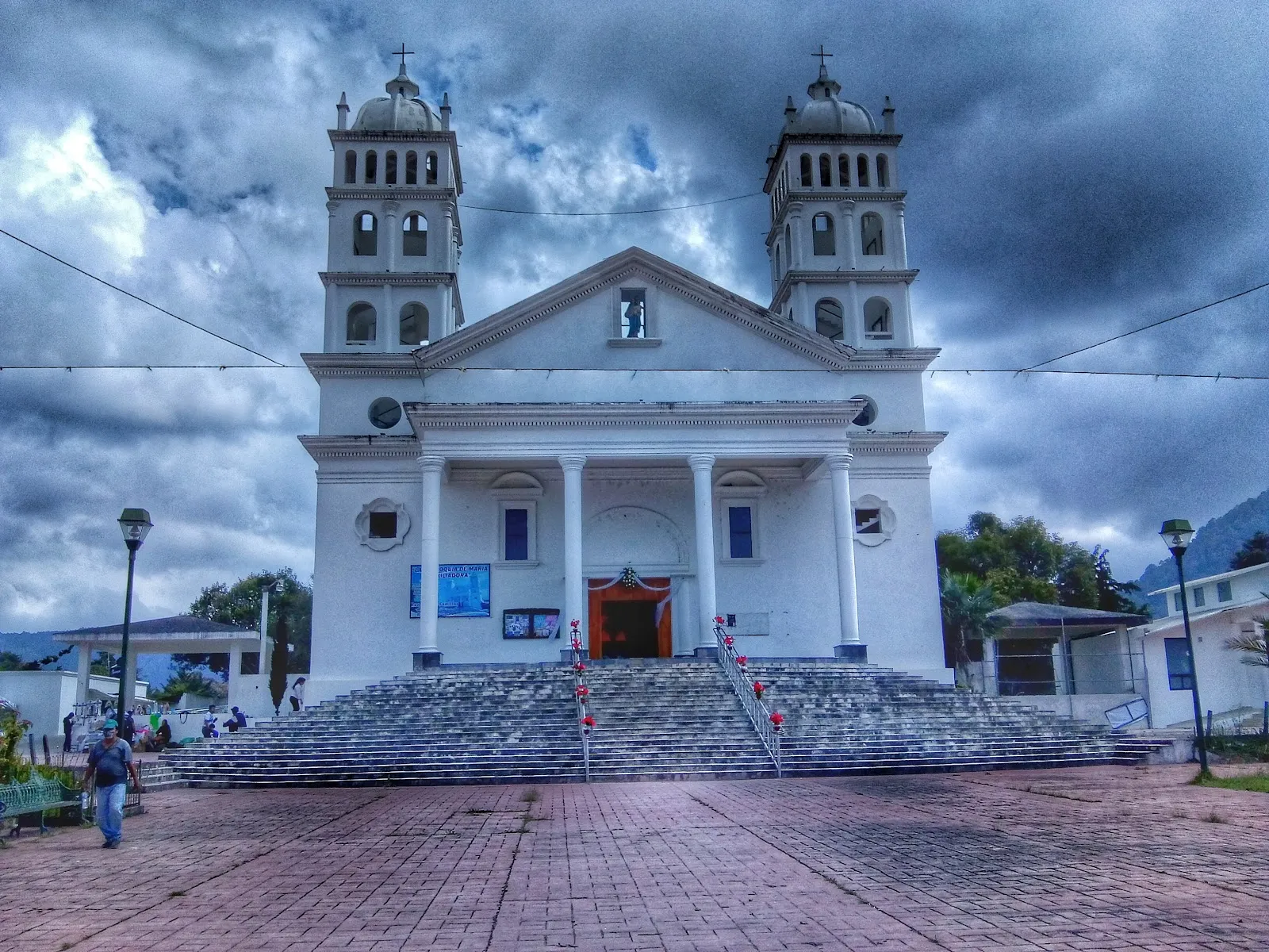
Travelers come for the indigenous markets, the Santo Domingo church and its crafts market, and museums on amber, jade and traditional healing. Holy Week is the most elaborate religious season. The dry season, November to April, is cool, and nights are cold at this altitude, so pack warm layers. Plan several days to cover the town. Travelers arrive by road from Tuxtla Gutiérrez, about 80 km away on Highway 190, because the airport 18 km away closed in 2010.
San Cristóbal de las Casas in five
- Dress for cold nightsThe town sits at about 2,200 m, and evenings and mornings are chilly even in the dry season. Pack a warm layer, a rain jacket and shoes for cobblestones.
- Visit Chamula and Zinacantán with respectBoth villages have strong Indigenous traditions. In San Juan Chamula's church, photography is banned and local rules apply, so follow guides' instructions and ask permission before photos.
- Day-trip to Sumidero CanyonBoats run through the canyon from Chiapa de Corzo, near Tuxtla Gutiérrez, and tours usually bundle road and boat. Go early for calmer water and fewer crowds.
- Fly into Tuxtla, then ride upTuxtla Gutiérrez's airport is the main one, and shuttles or colectivos run to San Cristóbal in about an hour or an hour and a half. Book your return for daylight.
- Check state-level travel advice and road statusGovernment advice differs by state, and roadblocks or protests can disrupt long highways in Chiapas. Check current advice and road reports before you plan an overland trip.Visas and entry
Things to do in San Cristóbal de las Casas
See all attractions in San Cristóbal de las Casas
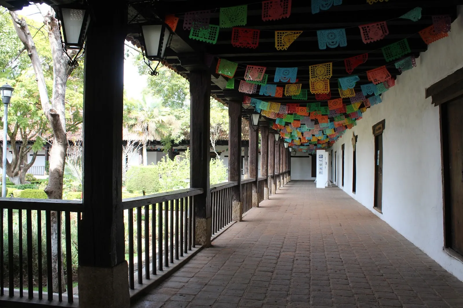


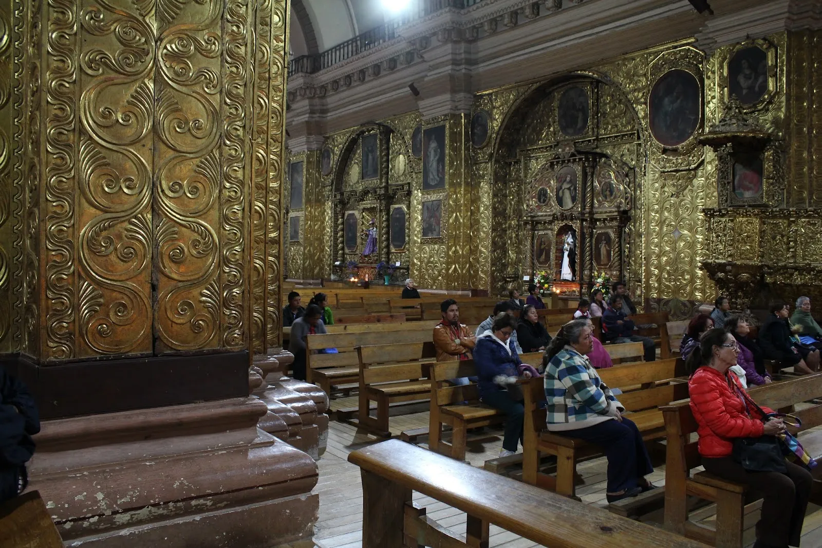
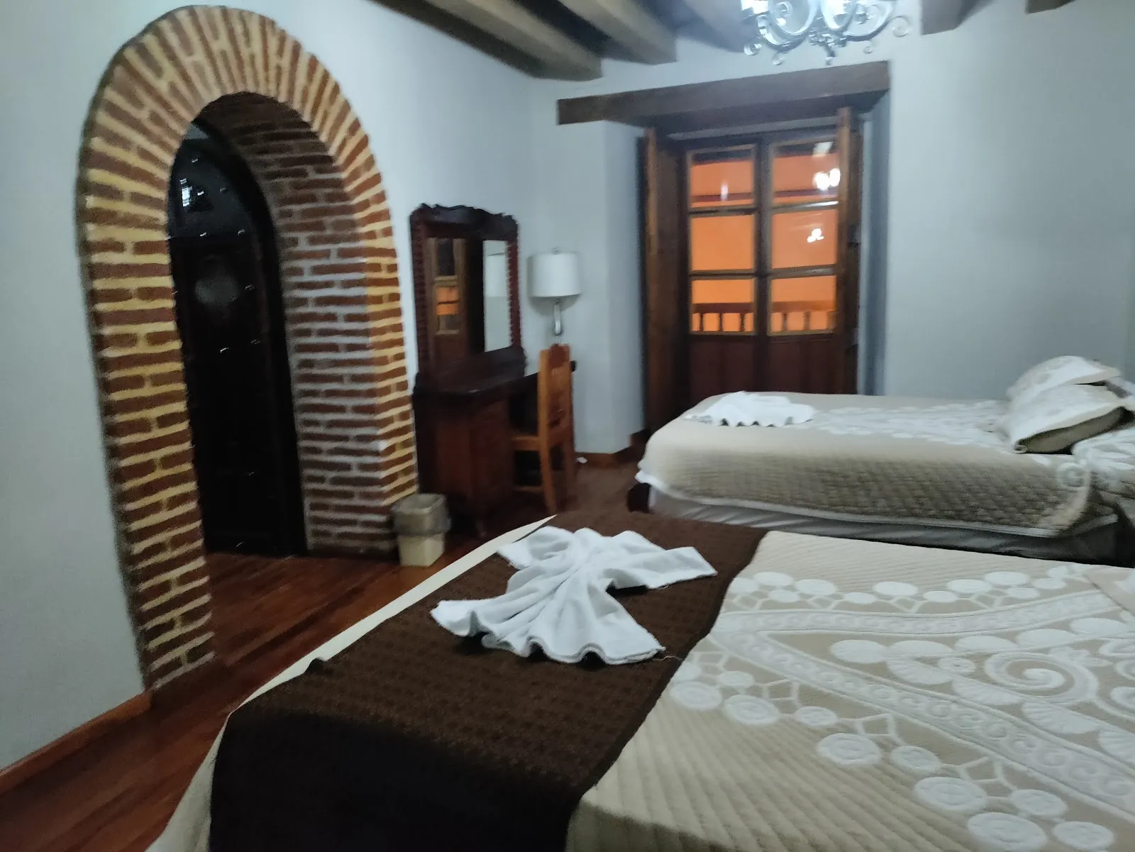

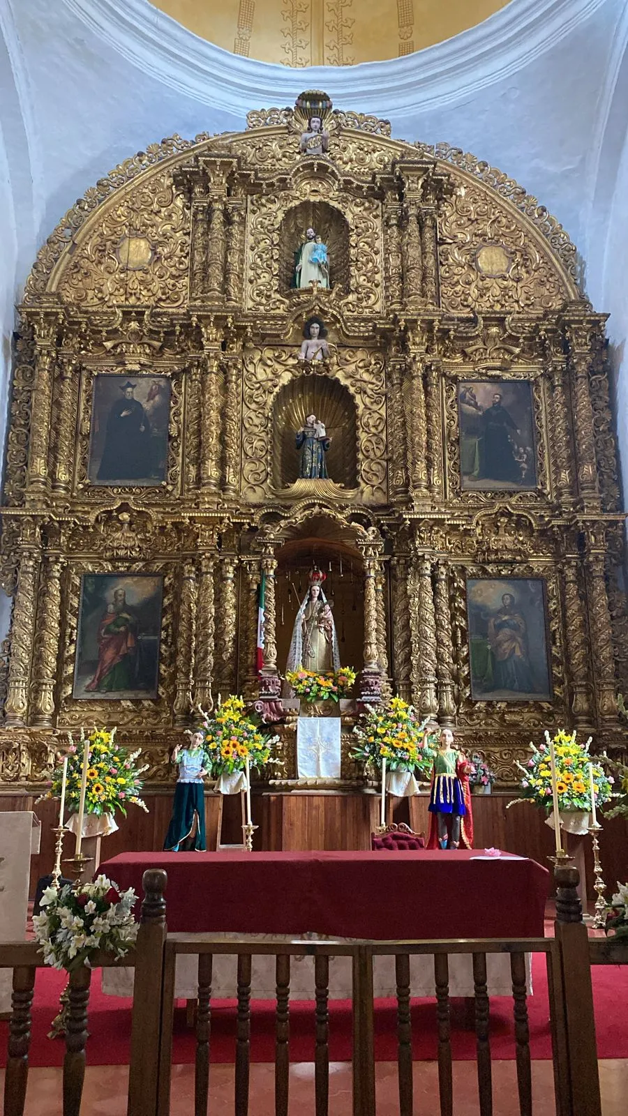



Need to know
- Airport
- Tuxtla Gutiérrez (TGZ), about 1 to 1.5 hours by road
- Getting there
- Shuttle, bus or colectivo from Tuxtla; coach from Oaxaca City or Palenque
- Getting around
- Walking, colectivos to nearby villages, tours for farther sights
- Best base
- Near the pedestrian street Real de Guadalupe
- Time needed
- 3 to 4 days with day trips
Weather by month
- Rainy days
- Days with storms
- Best
- Good
- Mixed
- Poor
- JanuaryPartly cloudy8 rainy daysHigh20°Low10°Dry, cold nightsJanuaryPartly cloudy
Best
- High
- 20°
- Low
- 10°
- Precipitation
- 29 mm
- Rainy days
- 8
- Snowy days
- 0
- Days with storms
- 0
Dry, cold nights
- FebruaryClear7 rainy daysHigh21°Low10°Dry, clearFebruaryClear
Best
- High
- 21°
- Low
- 10°
- Precipitation
- 29 mm
- Rainy days
- 7
- Snowy days
- 0
- Days with storms
- 0
Dry, clear
- MarchPartly cloudy10 rainy daysHigh23°Low12°Dry, warmMarchPartly cloudy
Best
- High
- 23°
- Low
- 12°
- Precipitation
- 38 mm
- Rainy days
- 10
- Snowy days
- 0
- Days with storms
- 0
Dry, warm
- AprilRain13 rainy daysHigh24°Low12°Dry, Semana SantaAprilRain
Best
- High
- 24°
- Low
- 12°
- Precipitation
- 74 mm
- Rainy days
- 13
- Snowy days
- 0
- Days with storms
- 0
Dry, Semana Santa
- MayRain21 rainy daysHigh23°Low14°Rains startMayRain
Mixed
- High
- 23°
- Low
- 14°
- Precipitation
- 254 mm
- Rainy days
- 21
- Snowy days
- 0
- Days with storms
- 0
Rains start
- JuneRain27 rainy daysHigh21°Low14°Rainy, mistyJuneRain
Poor
- High
- 21°
- Low
- 14°
- Precipitation
- 512 mm
- Rainy days
- 27
- Snowy days
- 0
- Days with storms
- 0
Rainy, misty
- JulyRain22 rainy days1 day with stormsHigh21°Low13°Rainy, mistyJulyRain
Mixed
- High
- 21°
- Low
- 13°
- Precipitation
- 256 mm
- Rainy days
- 22
- Snowy days
- 0
- Days with storms
- 1
Rainy, misty
- AugustRain24 rainy days1 day with stormsHigh21°Low13°Rainy, greenAugustRain
Poor
- High
- 21°
- Low
- 13°
- Precipitation
- 389 mm
- Rainy days
- 24
- Snowy days
- 0
- Days with storms
- 1
Rainy, green
- SeptemberRain27 rainy days1 day with stormsHigh20°Low13°Peak rainSeptemberRain
Poor
- High
- 20°
- Low
- 13°
- Precipitation
- 430 mm
- Rainy days
- 27
- Snowy days
- 0
- Days with storms
- 1
Peak rain
- OctoberRain22 rainy daysHigh20°Low13°Rain easingOctoberRain
Mixed
- High
- 20°
- Low
- 13°
- Precipitation
- 239 mm
- Rainy days
- 22
- Snowy days
- 0
- Days with storms
- 0
Rain easing
- NovemberRain14 rainy daysHigh19°Low11°Dry, Día de MuertosNovemberRain
Good
- High
- 19°
- Low
- 11°
- Precipitation
- 92 mm
- Rainy days
- 14
- Snowy days
- 0
- Days with storms
- 0
Dry, Día de Muertos
- DecemberPartly cloudy10 rainy daysHigh19°Low11°Dry, cold nightsDecemberPartly cloudy
Best
- High
- 19°
- Low
- 11°
- Precipitation
- 39 mm
- Rainy days
- 10
- Snowy days
- 0
- Days with storms
- 0
Dry, cold nights
Average daily high and low in San Cristóbal de las Casas, 2016–2025. Rainy day: 1 mm of rain or more.
Right now in San Cristóbal de las Casas
Local time, today's weather and the exchange rate, refreshed through the day.

21
- Feels like
- 21°
- Humidity
- 51%
- Wind
- 10 km/h
- Chance of rain
- 71%
San Cristóbal de las Casas
02:38 PM
Monday, November 2
- Today21°10°71%Monday: Drizzle. High 21°, Low 10°. Chance of rain 71%.
- Tue21°10°69%Tuesday: Drizzle. High 21°, Low 10°. Chance of rain 69%.
- Wed21°11°2%Wednesday: Cloudy. High 21°, Low 11°. Chance of rain 2%.
- Thu21°12°63%Thursday: Drizzle. High 21°, Low 12°. Chance of rain 63%.
- Fri21°10°29%Friday: Fog. High 21°, Low 10°. Chance of rain 29%.
- Sat20°11°72%Saturday: Drizzle. High 20°, Low 11°. Chance of rain 72%.
- Sun20°12°84%Sunday: Drizzle. High 20°, Low 12°. Chance of rain 84%.
Updated 11:26 AM local time · Weather data by Open-Meteo.com
Money
Mid-market rate1 USD = 18.81 MXN
Rates from Nov 2, 2026 · Rates By Exchange Rate API
Day trips by train
- San Juan Chamula and Zinacantánabout 15 to 30 min by colectivo or tourIndigenous villages with churches and markets; follow local photography rules.
- Sumidero Canyonabout 1.5 to 2 hours by roadA boat ride through a deep canyon from Chiapa de Corzo.
- Palenqueabout 5 to 6 hours by roadJungle Maya ruins, better as an overnight move than a day trip.Read the guide
Before you go to San Cristóbal de las Casas
We may earn a commission. It never decides our picks.
Rules for San Cristóbal de las Casas, checked
- Check the current entry requirements on the Mexican government site before you fly.Source
- Buy amber only from shops you trust. Fake amber made of plastic or glass is sold on the street, and a very low price is a warning sign.
- Protests are fairly frequent at the Palacio de Gobierno, often with lines of riot police present. Keep clear of them and check local news if you plan to walk past.
- On Holy Saturday, stay back from the Judas burning. Firefighters keep the crowd back, but fireworks sometimes fall among spectators.
Plan around San Cristóbal de las Casas
Beaches, colonial cities, ruins and highlands
Read the guideChiapasThe wider state, waterfalls and jungle ruins
Read the guidePalenqueJungle Maya ruins, a long day or overnight away
Read the guidePueblos MancomunadosAnother cool-highland trip in Oaxaca
Read the guideMoney in MexicoCash, cards and tipping basics
Read the guideSan Cristóbal de las Casas FAQ
Is San Cristóbal de las Casas worth visiting?
Yes for a walkable colonial town, a highland climate and access to Indigenous villages and canyons. It is cold and sometimes foggy, so it suits travelers who like cobbled streets over beaches.
How many days do you need in San Cristóbal?
Three to four days covers the town, a village visit and Sumidero Canyon. Add one or two for waterfalls or Palenque if you plan to continue overland.
Is San Cristóbal de las Casas safe?
The town center is busy and welcoming, but watch bags in crowds and avoid unlit streets late at night. Check your government's current advice for Chiapas and road status before long trips.
How do you get from Tuxtla airport to San Cristóbal?
By shuttle, taxi or colectivo, roughly an hour to an hour and a half uphill on a mountain road. Book a daytime arrival and have your accommodation address ready.
When is the best time to visit San Cristóbal?
November to April is dry, with sunny days and cold nights. May to October is rainy and misty but green. Pack warm layers whenever you go.