Plan a trip
Language: English
Trip plannerPlan your trip on a map

Top destinations

EnglishDeutschFrançaisEspañolPortuguêsPortuguês (BR)Italiano
Travel advisory · MexicoCopper Canyon is in or near an area where governments advise against all but essential travel: Chihuahua.Advice depends on your passport. Read your own government's advice before you book.Official advice
Areas with warnings
  • Colima · avoid all travel · Canada, Germany, France, UK
  • Guerrero · avoid all travel · Canada, Germany, Spain, France, New Zealand, UK
  • Sinaloa · avoid all travel · Canada, Germany, Spain, France, New Zealand, UK
  • Chiapas · avoid non-essential travel · Canada, Spain, France
  • Chihuahua · avoid non-essential travel · Canada, France, UK
  • Federal Highway 199 San Cristóbal de las Casas–Palenque · avoid non-essential travel · France, UK
  • Guanajuato, south of Highways 43D and 45D · avoid non-essential travel · Canada, New Zealand
  • Guatemala border region, Chiapas · avoid non-essential travel · Germany, France, New Zealand
  • Lagunas de Zempoala National Park · avoid non-essential travel · Canada, New Zealand
  • Michoacán · avoid non-essential travel · Canada, Germany, New Zealand, UK
  • Nayarit, within 20 km of Sinaloa and Durango border · avoid non-essential travel · Canada, New Zealand
  • Nuevo León, except Monterrey · avoid non-essential travel · Canada, New Zealand
  • Piedras Negras · avoid non-essential travel · Spain, France
  • Route 85 Monterrey–Nuevo Laredo · avoid non-essential travel · Spain, France
  • Sonora · avoid non-essential travel · Canada, New Zealand
  • Tamaulipas · avoid non-essential travel · Canada, France, UK
  • Tecate · avoid non-essential travel · France, UK
  • Tijuana · avoid non-essential travel · France, UK
  • US border region · avoid non-essential travel · Germany, Spain, France
  • Zacatecas · avoid non-essential travel · Canada, Germany, Spain, France, UK

Also named by one government: Celaya–Irapuato–Salamanca triangle, Guanajuato (France), Culiacán and surrounding area (France), North of Ciudad Victoria, Tamaulipas (Germany), Route 129 Martinez de la Torre–Teziutlán (France), Route 131 Tapacoyan–Perote (France), Route 180 Martinez de la Torre–Papantla secondary roads (France), Route 40 Monterrey–Reynosa (France), Southern Michoacán from Uruapán to the coast (France), Acapulco (France), Baja California, except Tijuana and Tecate (France), Ciudad Acuña (Spain), Ciudad Juárez and surrounding area (Spain), Ciudad Obregón (France), Coahuila, except southern part (New Zealand), Coatzacoalcos (France), Colonias north and north-east of the Zócalo, Mexico City (France), Durango (France), East Nuevo León, bordering Tamaulipas (France), Guanajuato (Spain), Guanajuato, Highway 45 between León and Irapuato (New Zealand), Guanajuato, south-west of Highway 45D (UK), Jalisco, within 50 km of Michoacán border (Canada), Monclova (Spain), Morelos (France), Nayarit (France), Nogales (France), Non-tourist rural areas of Baja California (Spain), Non-tourist rural areas of Chihuahua (Spain), Non-tourist rural areas of Coahuila (Spain), Non-tourist rural areas of Durango (Spain), Non-tourist rural areas of Sonora (Spain), Northern municipalities of Jalisco (UK), Northern Tamaulipas from San Fernando to US border (Spain), Northern Veracruz bordering Tamaulipas (Spain), Northern Veracruz from Martinez de la Torre (France), Route 150D Puebla–Orizaba (France), Route 190 Oaxaca–Santo Domingo Tehuantepec (France), Route 85 and 83 Monterrey–Ciudad Victoria–Tampico (France), Route 95 Mexico City–Cuernavaca (France), Selva Lacandona (France), South and south-west of Lake Chapala, Jalisco (UK), South-west Jalisco and Los Altos, except Puerto Vallarta (France), South-west Michoacán (France), South-west Tamaulipas (France), Southern Guanajuato state (France), Southern Michoacán south of Morelia (Spain), Strip within 40 km of Guatemalan border, Chiapas (UK), Tepic (New Zealand), Toluca (France), Veracruz city (France)

GovernmentAdviceUpdatedRead the advice
United Kingdom (FCDO)No advice against the whole country (regional advisories)–Read the advice
United States (State Dept)Exercise increased cautionMay 29, 2026Read the advice
Canada (Global Affairs)Exercise a high degree of caution (regional advisories)–Read the advice
Germany (Auswärtiges Amt)Besondere Vorsicht walten lassen (Sicherheitslage) (regional advisories)Oct 19, 2026Read the advice
New Zealand (SafeTravel)Exercise increased caution (regional advisories)–Read the advice
France (Ministry for Europe and Foreign Affairs)Vigilance renforcée pour le reste du pays (regional advisories)–Read the advice

Checked daily from the governments' published advice; last checked Nov 2, 2026. RoamLedger summarises official advice; it is not advice from any government.

Reserva de la Biosfera Sierra Gorda
Forest

Reserva de la Biosfera Sierra Gorda

Sierra Gorda Biosphere Reserve in Querétaro: easy trails, waterfalls and natural pools to swim in, plus dry-season hikes from November to April.

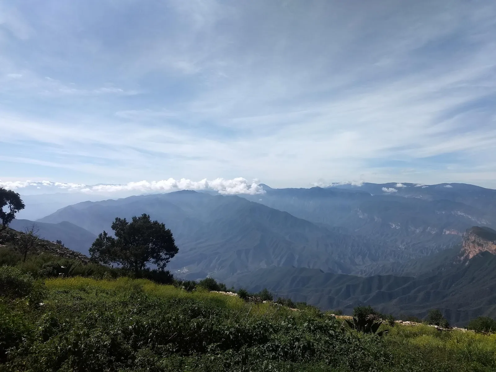
Reserva de la Biosfera Sierra Gorda is a protected mountain area in Querétaro state, Mexico, with the town of Jalpan nearby. Easy trails run through green vegetation, and waterfalls are among the main draws. Natural springs and rivers are open for swimming, and wild fruit trees grow along the way. Several remote communities inside the reserve offer ecologically sustainable lodgings, and guides can explain the plants and animals of the region.

Ecosystems and wildlife
Reserva de la Biosfera Sierra Gorda

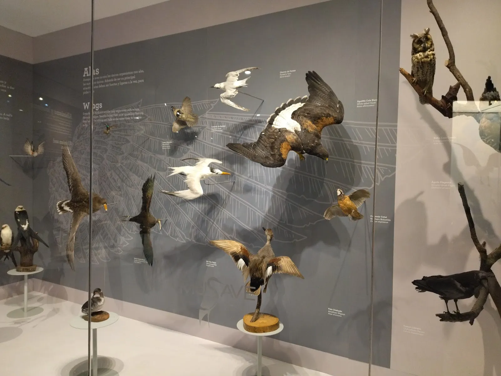
The reserve covers several different ecosystems, and they are rich in biodiversity. Along the trails you can see a range of plant life, from the green undergrowth to fruit trees growing wild, including mango, orange, apple, fig, blackberry, pecan and guava.

Birds are one of the highlights for many walkers, and a guide can help you identify what you see.

Trails, waterfalls and natural pools
Reserva de la Biosfera Sierra Gorda

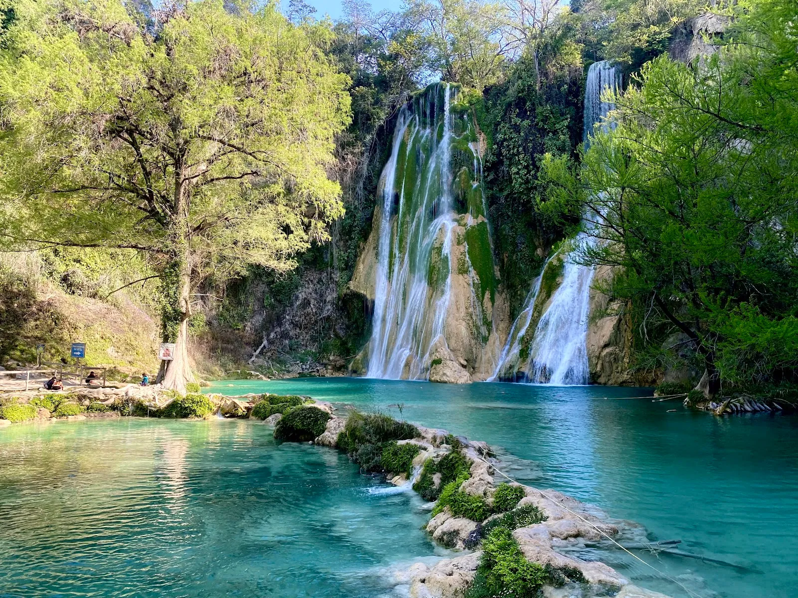
A short trail of about 20 minutes is easy and runs through greenery. Waterfalls are one of the main attractions along the reserve's routes.

Natural springs rise from the ground in pools where you can swim. Rivers and streams are also open for swimming, so bring a change of clothes and water shoes if you plan to get in.

Remote communities and local businesses

Several remote communities in the reserve have ecologically sustainable accommodations. Buying goods from these communities supports local businesses, so it is a good way to spend money in the area.

The reserve also includes UN heritage sites, which add a historical layer to a visit focused on nature.

Guides and the town of Jalpan

Knowledgeable guides speak several languages. One guide who spoke English also taught a group some Spanish during a hike.

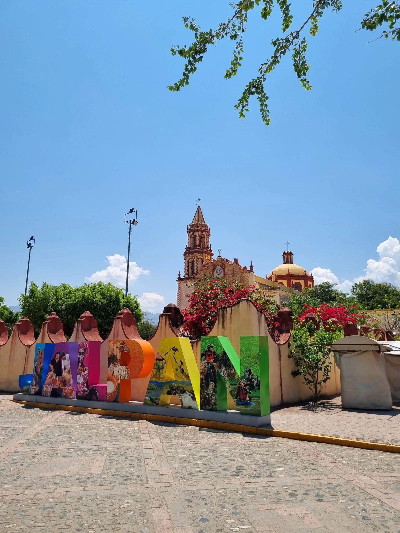
Jalpan sits in the mountains close to the reserve, with museums, restaurants, lodging, hiking and waterfalls nearby, so it works well as a base.

FAQ

Do you need to buy tickets in advance?

Buying tickets in advance is recommended, so arrange them before you travel.

When is the best time to visit?

The dry season, from November to April, is the best time for hiking conditions.

Can you swim in the reserve?

Yes. Natural pools, springs and rivers in the reserve are open for swimming.

Is the reserve suitable for children and dogs?

It is good for kids, and dogs are allowed. The reserve also has picnic areas, slides and public restrooms.
More must-sees in Copper Canyon

Explore all