Travel advisory · MexicoCopper Canyon is in or near an area where governments advise against all but essential travel: Chihuahua.Advice depends on your passport. Read your own government's advice before you book.Official advice
- Colima · avoid all travel · Canada, Germany, France, UK
- Guerrero · avoid all travel · Canada, Germany, Spain, France, New Zealand, UK
- Sinaloa · avoid all travel · Canada, Germany, Spain, France, New Zealand, UK
- Chiapas · avoid non-essential travel · Canada, Spain, France
- Chihuahua · avoid non-essential travel · Canada, France, UK
- Federal Highway 199 San Cristóbal de las Casas–Palenque · avoid non-essential travel · France, UK
- Guanajuato, south of Highways 43D and 45D · avoid non-essential travel · Canada, New Zealand
- Guatemala border region, Chiapas · avoid non-essential travel · Germany, France, New Zealand
- Lagunas de Zempoala National Park · avoid non-essential travel · Canada, New Zealand
- Michoacán · avoid non-essential travel · Canada, Germany, New Zealand, UK
- Nayarit, within 20 km of Sinaloa and Durango border · avoid non-essential travel · Canada, New Zealand
- Nuevo León, except Monterrey · avoid non-essential travel · Canada, New Zealand
- Piedras Negras · avoid non-essential travel · Spain, France
- Route 85 Monterrey–Nuevo Laredo · avoid non-essential travel · Spain, France
- Sonora · avoid non-essential travel · Canada, New Zealand
- Tamaulipas · avoid non-essential travel · Canada, France, UK
- Tecate · avoid non-essential travel · France, UK
- Tijuana · avoid non-essential travel · France, UK
- US border region · avoid non-essential travel · Germany, Spain, France
- Zacatecas · avoid non-essential travel · Canada, Germany, Spain, France, UK
Also named by one government: Celaya–Irapuato–Salamanca triangle, Guanajuato (France), Culiacán and surrounding area (France), North of Ciudad Victoria, Tamaulipas (Germany), Route 129 Martinez de la Torre–Teziutlán (France), Route 131 Tapacoyan–Perote (France), Route 180 Martinez de la Torre–Papantla secondary roads (France), Route 40 Monterrey–Reynosa (France), Southern Michoacán from Uruapán to the coast (France), Acapulco (France), Baja California, except Tijuana and Tecate (France), Ciudad Acuña (Spain), Ciudad Juárez and surrounding area (Spain), Ciudad Obregón (France), Coahuila, except southern part (New Zealand), Coatzacoalcos (France), Colonias north and north-east of the Zócalo, Mexico City (France), Durango (France), East Nuevo León, bordering Tamaulipas (France), Guanajuato (Spain), Guanajuato, Highway 45 between León and Irapuato (New Zealand), Guanajuato, south-west of Highway 45D (UK), Jalisco, within 50 km of Michoacán border (Canada), Monclova (Spain), Morelos (France), Nayarit (France), Nogales (France), Non-tourist rural areas of Baja California (Spain), Non-tourist rural areas of Chihuahua (Spain), Non-tourist rural areas of Coahuila (Spain), Non-tourist rural areas of Durango (Spain), Non-tourist rural areas of Sonora (Spain), Northern municipalities of Jalisco (UK), Northern Tamaulipas from San Fernando to US border (Spain), Northern Veracruz bordering Tamaulipas (Spain), Northern Veracruz from Martinez de la Torre (France), Route 150D Puebla–Orizaba (France), Route 190 Oaxaca–Santo Domingo Tehuantepec (France), Route 85 and 83 Monterrey–Ciudad Victoria–Tampico (France), Route 95 Mexico City–Cuernavaca (France), Selva Lacandona (France), South and south-west of Lake Chapala, Jalisco (UK), South-west Jalisco and Los Altos, except Puerto Vallarta (France), South-west Michoacán (France), South-west Tamaulipas (France), Southern Guanajuato state (France), Southern Michoacán south of Morelia (Spain), Strip within 40 km of Guatemalan border, Chiapas (UK), Tepic (New Zealand), Toluca (France), Veracruz city (France)
| Government | Advice | Updated | Read the advice |
|---|---|---|---|
| United Kingdom (FCDO) | No advice against the whole country (regional advisories) | – | Read the advice |
| United States (State Dept) | Exercise increased caution | May 29, 2026 | Read the advice |
| Canada (Global Affairs) | Exercise a high degree of caution (regional advisories) | – | Read the advice |
| Germany (Auswärtiges Amt) | Besondere Vorsicht walten lassen (Sicherheitslage) (regional advisories) | Oct 19, 2026 | Read the advice |
| New Zealand (SafeTravel) | Exercise increased caution (regional advisories) | – | Read the advice |
| France (Ministry for Europe and Foreign Affairs) | Vigilance renforcée pour le reste du pays (regional advisories) | – | Read the advice |
Checked daily from the governments' published advice; last checked Nov 2, 2026. RoamLedger summarises official advice; it is not advice from any government.
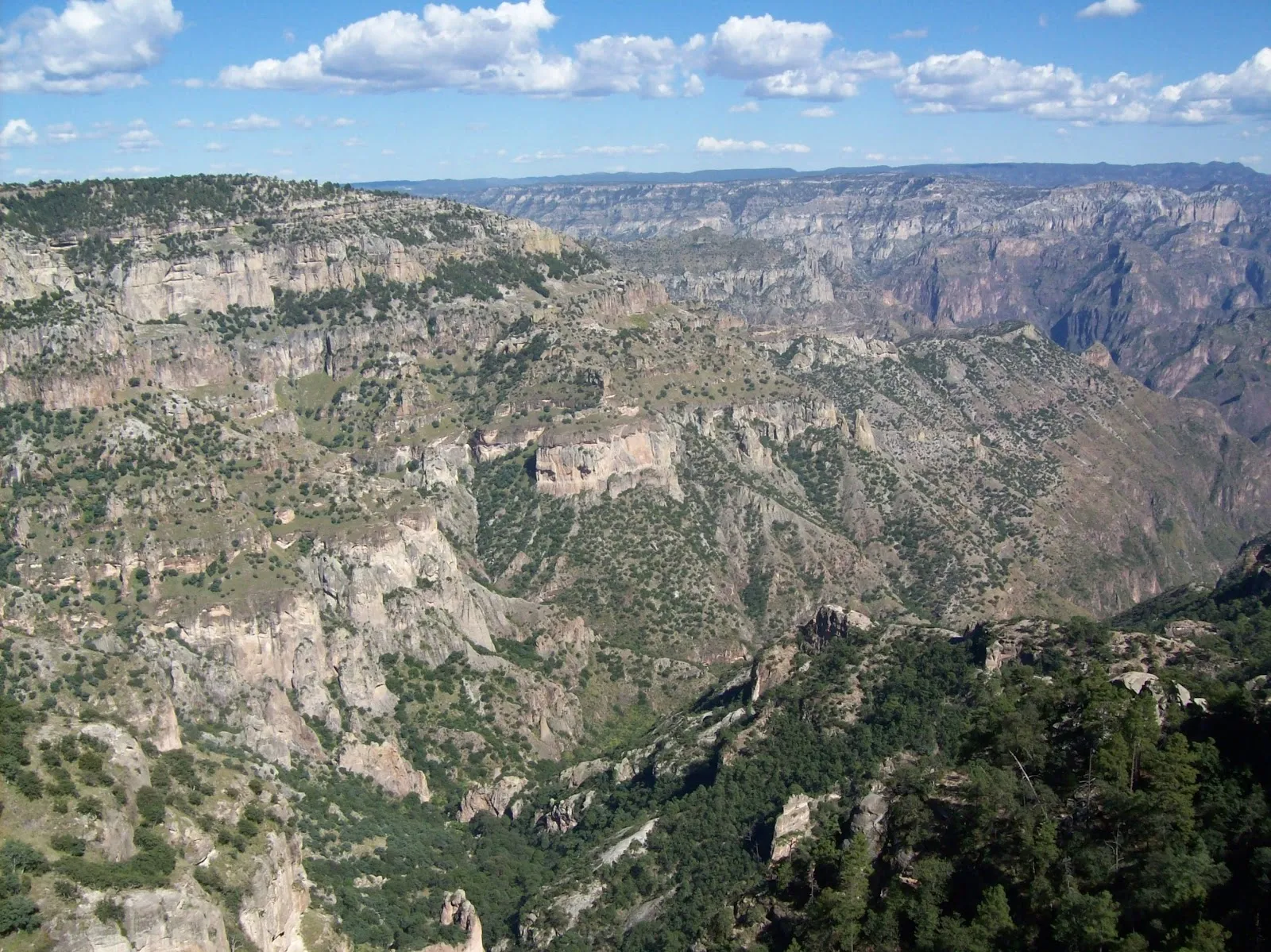
Copper Canyon
Go for deep canyons in northwest Mexico, reached by a long train ride through the Sierra Madre, where Rarámuri families still live in the canyons.
We may earn a commission. It never decides our picks.
Copper Canyon, or Barranca del Cobre in Spanish, is a network of deep canyons in the Sierra Madre Occidental, in the state of Chihuahua in northwestern Mexico. Rarámuri families still live in the canyons, and the region is known for their long-distance running. The Chihuahua al Pacífico railway, called the Chepe, crosses the mountains between Chihuahua City and Los Mochis on the Pacific coast, with many bridges and tunnels along the way.
The area suits travelers who want a long train journey followed by hiking, and who are comfortable with rough roads and few services away from main stops. Divisadero, a stop on the Chepe, is a common base for canyon overlooks. The best months are March and April, and October and November, when days are mild and mostly dry. Rains start in June and ease by September. July and August are the rainy season.
Copper Canyon in five
- Book Chepe train seats earlyThe Chihuahua al Pacífico train, called the Chepe, is one way to reach the canyon from Chihuahua City. Buy seats through the railway's official sales channels and check the current timetable before you travel.Getting around
- Carry pesos for Creel and the villagesCarry pesos in small notes for village shops, markets and local guides.
- Get an eSIM before the canyonMobile signal drops out on the rim roads and along the train line. Load an eSIM or download offline maps before you leave Chihuahua City.Phones and eSIM
- Buy insurance that covers evacuationRescue and transfer from canyon trails and remote roads can be far from hospitals. Check that your policy covers hiking, evacuation and transfer to Chihuahua City.Travel insurance
- Ask before photographing Rarámuri peopleMany Rarámuri families live in the canyon and sell crafts there. Ask permission before you photograph anyone, and never photograph children without a parent's agreement.
Things to do in Copper Canyon
See all attractions in Copper Canyon



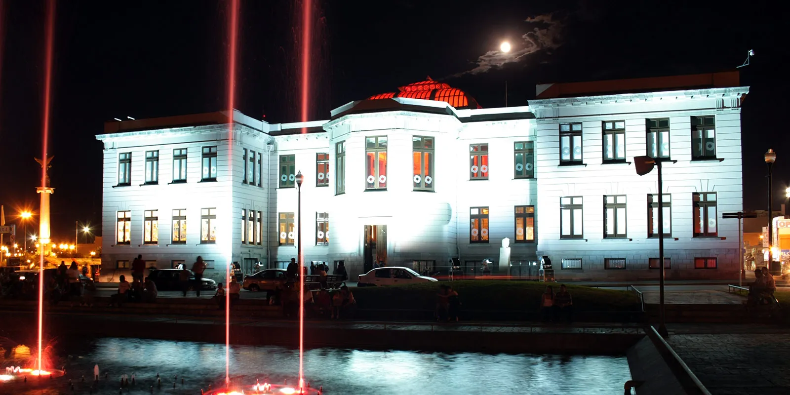
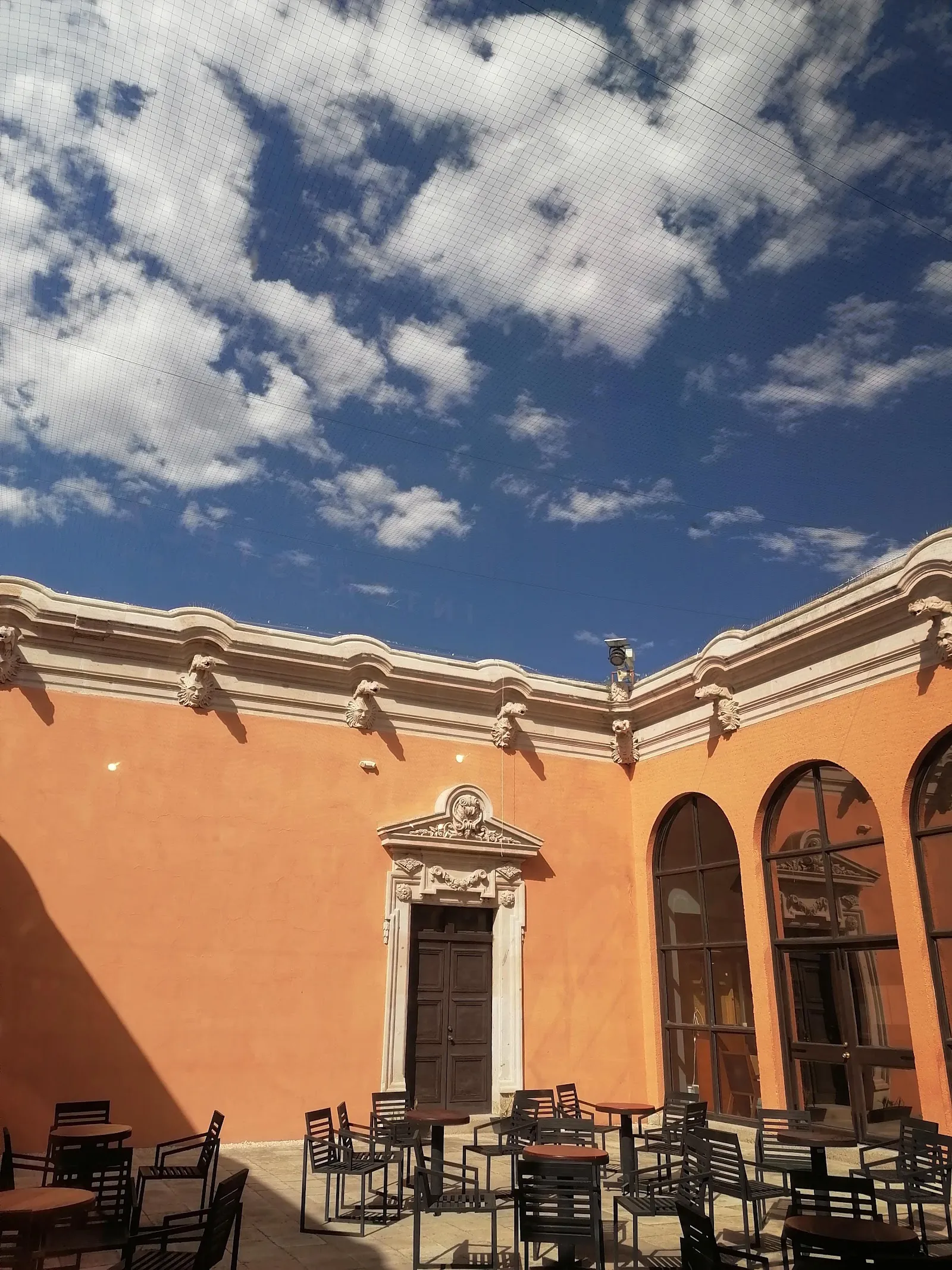


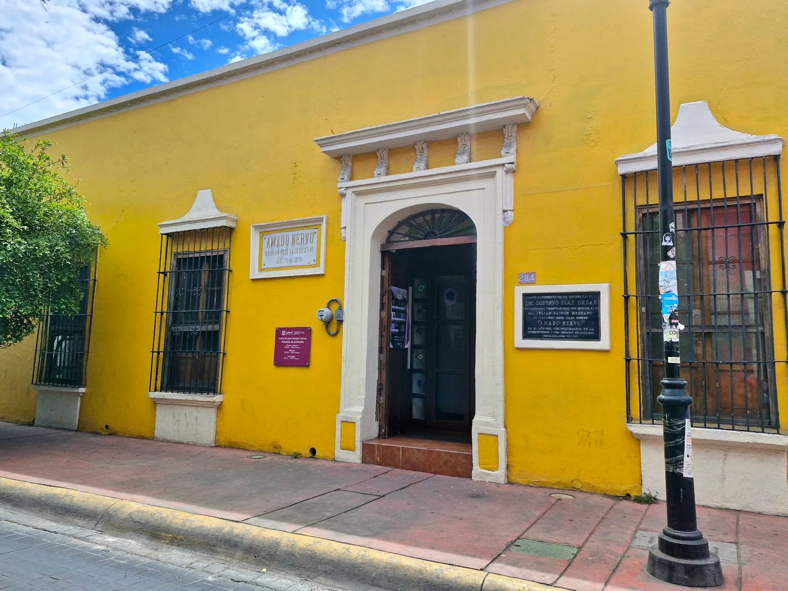

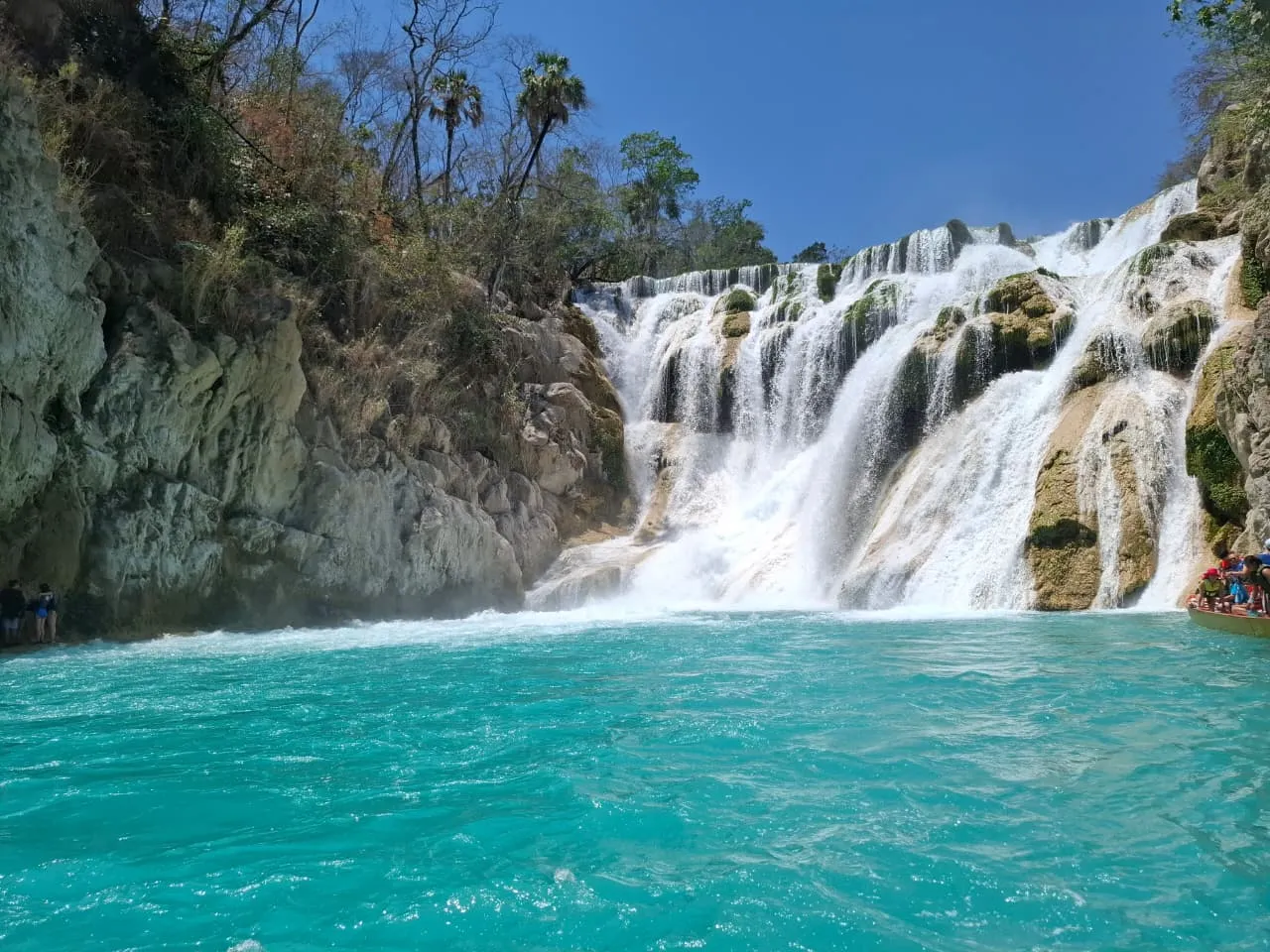

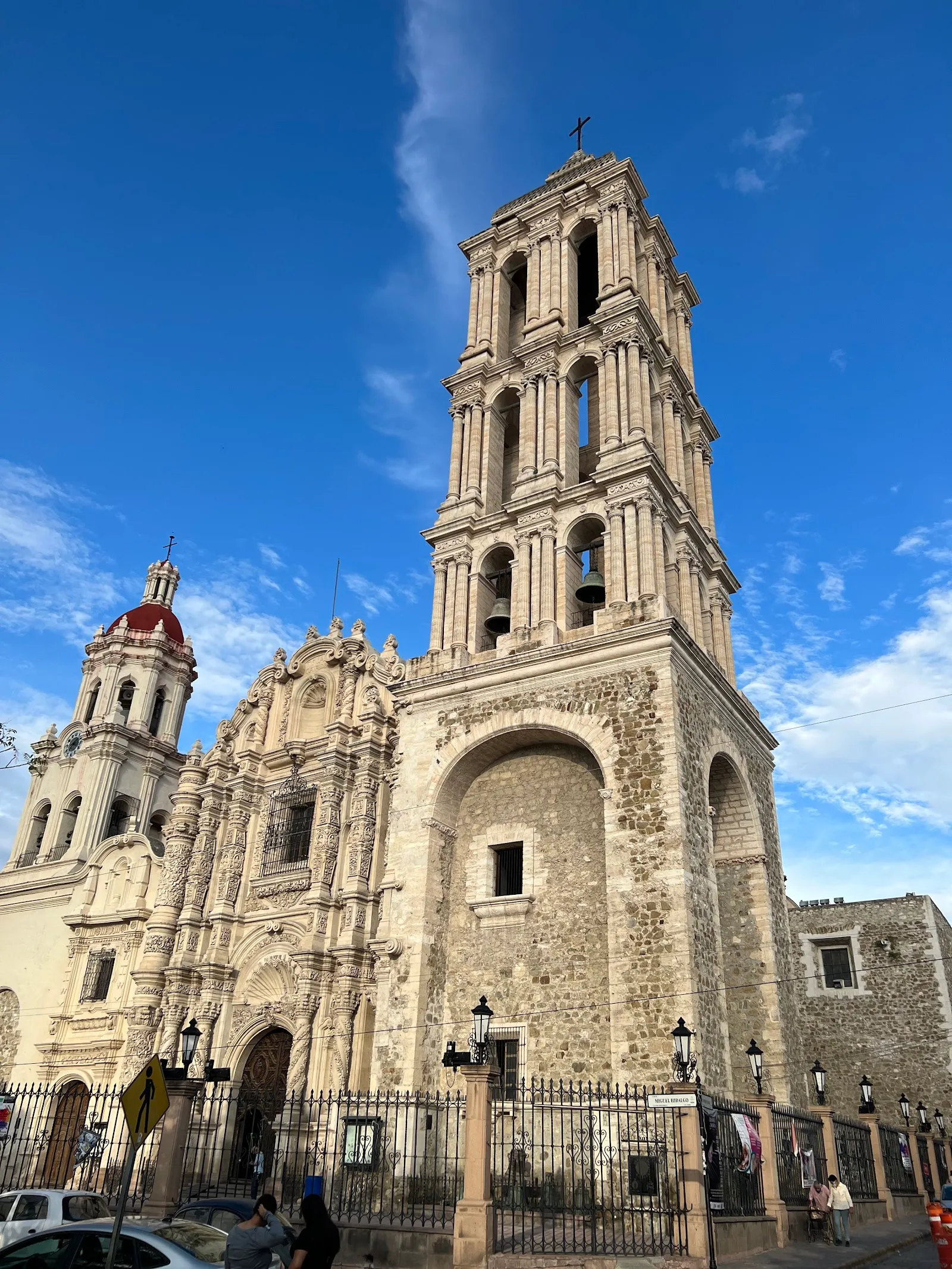




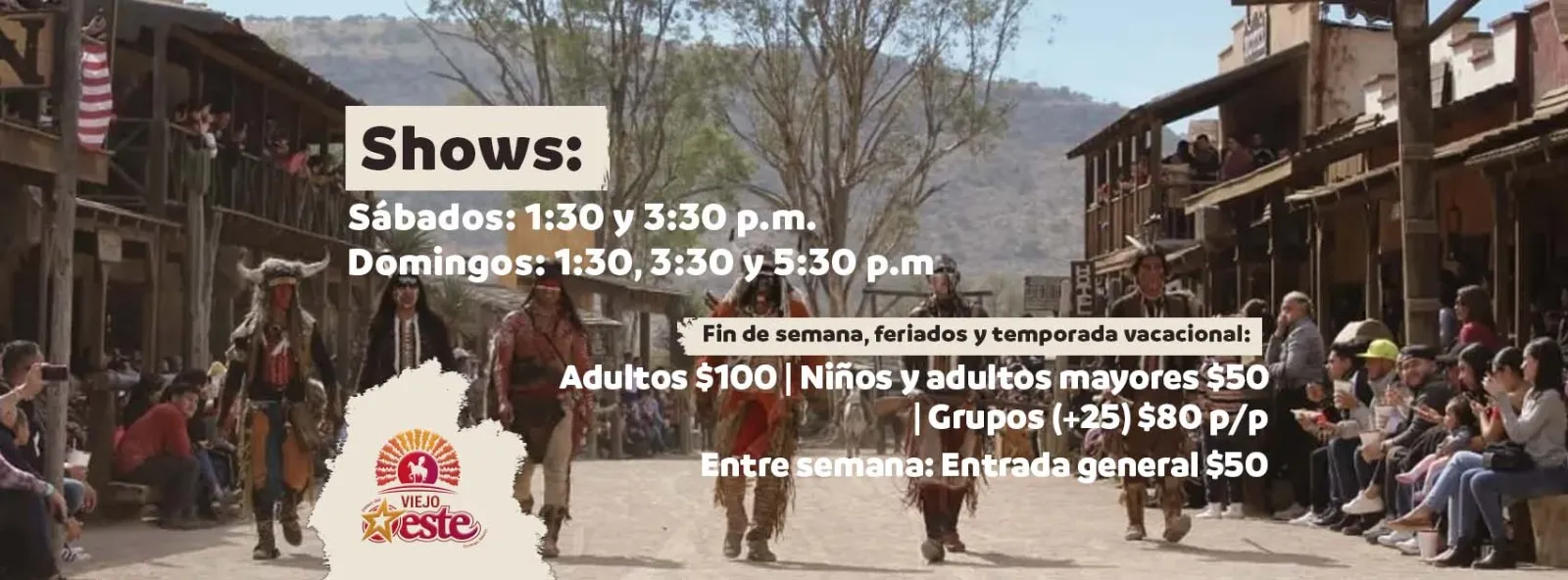
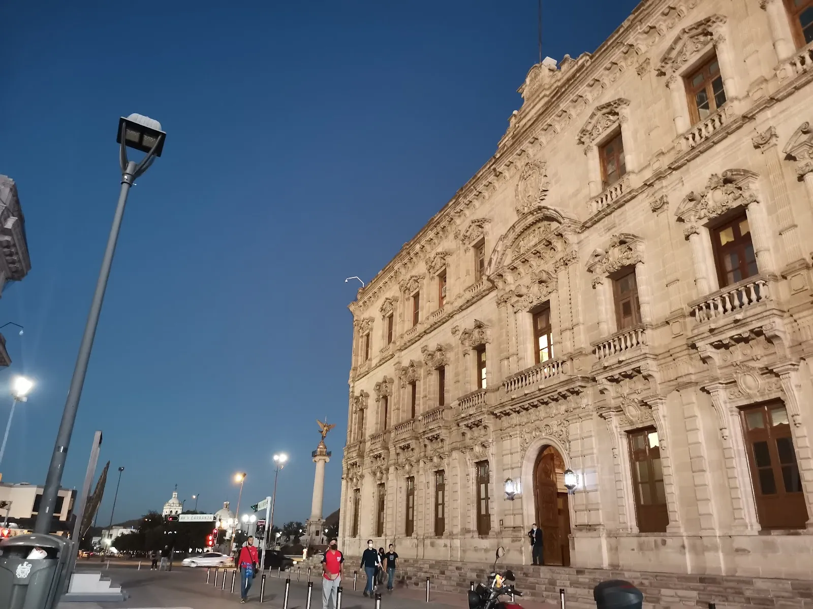
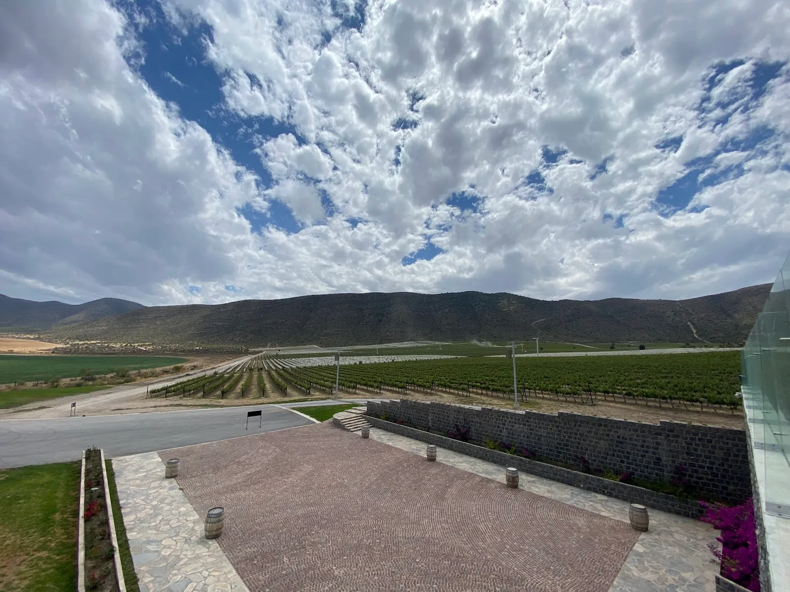

Need to know
- Currency
- Mexican peso (MXN)
- Entry
- Visa-free for many passports; FMM tourist permit needed
- Emergency
- 911 police, fire and ambulance
- Tipping
- Customary in restaurants; tip guides and drivers
- Time
- UTC-6 to UTC-7 depending on town; no daylight saving
Weather by month
- Rainy days
- Days with storms
- Best
- Good
- Mixed
- Poor
- JanuaryClear3 rainy daysHigh19°Low4°Cold, frostJanuaryClear
Mixed
- High
- 19°
- Low
- 4°
- Precipitation
- 29 mm
- Rainy days
- 3
- Snowy days
- 0
- Days with storms
- 0
Cold, frost
- FebruaryClear3 rainy daysHigh21°Low5°Cold, dryFebruaryClear
Mixed
- High
- 21°
- Low
- 5°
- Precipitation
- 39 mm
- Rainy days
- 3
- Snowy days
- 0
- Days with storms
- 0
Cold, dry
- MarchClear3 rainy daysHigh23°Low6°Mild, dryMarchClear
Good
- High
- 23°
- Low
- 6°
- Precipitation
- 25 mm
- Rainy days
- 3
- Snowy days
- 0
- Days with storms
- 0
Mild, dry
- AprilClear1 rainy dayHigh27°Low9°Warm, dryAprilClear
Best
- High
- 27°
- Low
- 9°
- Precipitation
- 5 mm
- Rainy days
- 1
- Snowy days
- 0
- Days with storms
- 0
Warm, dry
- MayClear2 rainy daysHigh30°Low12°Hot, dryMayClear
Good
- High
- 30°
- Low
- 12°
- Precipitation
- 7 mm
- Rainy days
- 2
- Snowy days
- 0
- Days with storms
- 0
Hot, dry
- JuneRain12 rainy daysHigh32°Low16°Rains beginJuneRain
Mixed
- High
- 32°
- Low
- 16°
- Precipitation
- 131 mm
- Rainy days
- 12
- Snowy days
- 0
- Days with storms
- 0
Rains begin
- JulyRain25 rainy days2 days with stormsHigh30°Low17°Rainy seasonJulyRain
Poor
- High
- 30°
- Low
- 17°
- Precipitation
- 282 mm
- Rainy days
- 25
- Snowy days
- 0
- Days with storms
- 2
Rainy season
- AugustRain23 rainy days1 day with stormsHigh30°Low16°Rainy seasonAugustRain
Poor
- High
- 30°
- Low
- 16°
- Precipitation
- 211 mm
- Rainy days
- 23
- Snowy days
- 0
- Days with storms
- 1
Rainy season
- SeptemberRain14 rainy days1 day with stormsHigh29°Low15°Rains easeSeptemberRain
Mixed
- High
- 29°
- Low
- 15°
- Precipitation
- 120 mm
- Rainy days
- 14
- Snowy days
- 0
- Days with storms
- 1
Rains ease
- OctoberClear6 rainy daysHigh27°Low12°Mild, clearOctoberClear
Best
- High
- 27°
- Low
- 12°
- Precipitation
- 41 mm
- Rainy days
- 6
- Snowy days
- 0
- Days with storms
- 0
Mild, clear
- NovemberClear3 rainy daysHigh23°Low8°Cool, clearNovemberClear
Good
- High
- 23°
- Low
- 8°
- Precipitation
- 26 mm
- Rainy days
- 3
- Snowy days
- 0
- Days with storms
- 0
Cool, clear
- DecemberClear4 rainy daysHigh20°Low5°Cold nightsDecemberClear
Mixed
- High
- 20°
- Low
- 5°
- Precipitation
- 35 mm
- Rainy days
- 4
- Snowy days
- 0
- Days with storms
- 0
Cold nights
Average daily high and low in Creel, 2016–2025. Rainy day: 1 mm of rain or more.
Right now in Copper Canyon
Local time, today's weather and the exchange rate, refreshed through the day.

23
- Feels like
- 21°
- Humidity
- 49%
- Wind
- 16 km/h
- Chance of rain
- 1%
Copper Canyon
03:58 PM
Monday, November 2
- Today27°16°1%Monday: Clear. High 27°, Low 16°. Chance of rain 1%.
- Tue30°14°0%Tuesday: Clear. High 30°, Low 14°. Chance of rain 0%.
- Wed27°12°0%Wednesday: Cloudy. High 27°, Low 12°. Chance of rain 0%.
- Thu25°11°0%Thursday: Cloudy. High 25°, Low 11°. Chance of rain 0%.
- Fri25°12°6%Friday: Cloudy. High 25°, Low 12°. Chance of rain 6%.
- Sat24°13°17%Saturday: Cloudy. High 24°, Low 13°. Chance of rain 17%.
- Sun26°12°7%Sunday: Clear. High 26°, Low 12°. Chance of rain 7%.
Updated 12:29 PM local time · Powered by WeatherAPI.com · Weather data by Open-Meteo.com
Money
Mid-market rate1 USD = 18.81 MXN
Rates from Nov 2, 2026 · Rates By Exchange Rate API
Before you go to Copper Canyon
Rules for Copper Canyon, checked
- Carry your passport and the FMM tourist permit, which you complete online or on arrival, and keep proof of it until you leave Mexico.
- Declare cash above the legal limit at Mexican customs when you enter or leave the country.
- Check the current Chepe timetable, ticket conditions and refund rules with the railway before you buy, since they change.
Plan around Copper Canyon
The Chepe train, buses and the road into Creel
Read the guideMoney and costsPesos, cards and where cash is needed
Read the guideVisas and entryThe FMM tourist permit and border rules
Read the guideWhere to stayCreel hotels and lodges near the canyon rim
Read the guidePhones and eSIMSignal on the train line and in the canyon
Read the guideTravel insuranceCover for remote rescue and evacuation
Read the guideCopper Canyon FAQ
How do I get to Copper Canyon?
Fly to Chihuahua City (CUU) and take the Chepe train west to Creel, the usual base for the canyon. Buses and rental cars also reach the area, but the road is long and rough in places.
How many days do I need at Copper Canyon?
Three days covers the train ride, Creel and one rim viewpoint. Add a day or two for a canyon-floor hike and a slower pace.
When is the best time to visit Copper Canyon?
March and April, and October and November. The days are mild and mostly dry, while July and August bring the rainy season.
Is the Chepe train ride worth it?
Yes, if you want the canyon views from a window and do not mind a long day on the train. Book a seat in advance, and plan a night in Creel either before or after the ride.
Is Copper Canyon safe for tourists?
Check your government's current travel advisory for Chihuahua and Sinaloa before you go, and follow its advice on which roads to avoid.
Do I need a guide to visit the canyon?
Not for the rim viewpoints, which are reached by road. A local guide is useful for canyon-floor hikes, where trails are steep and easy to lose.