
US Virgin Islands
Beaches, snorkeling and national park trails across three islands under US rule, linked by ferries.
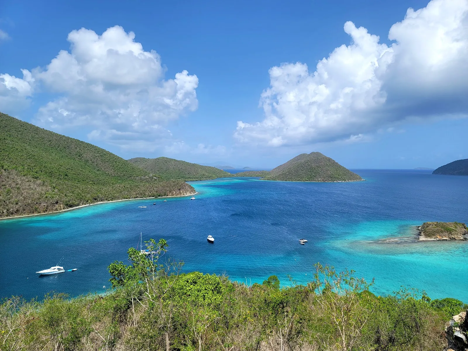
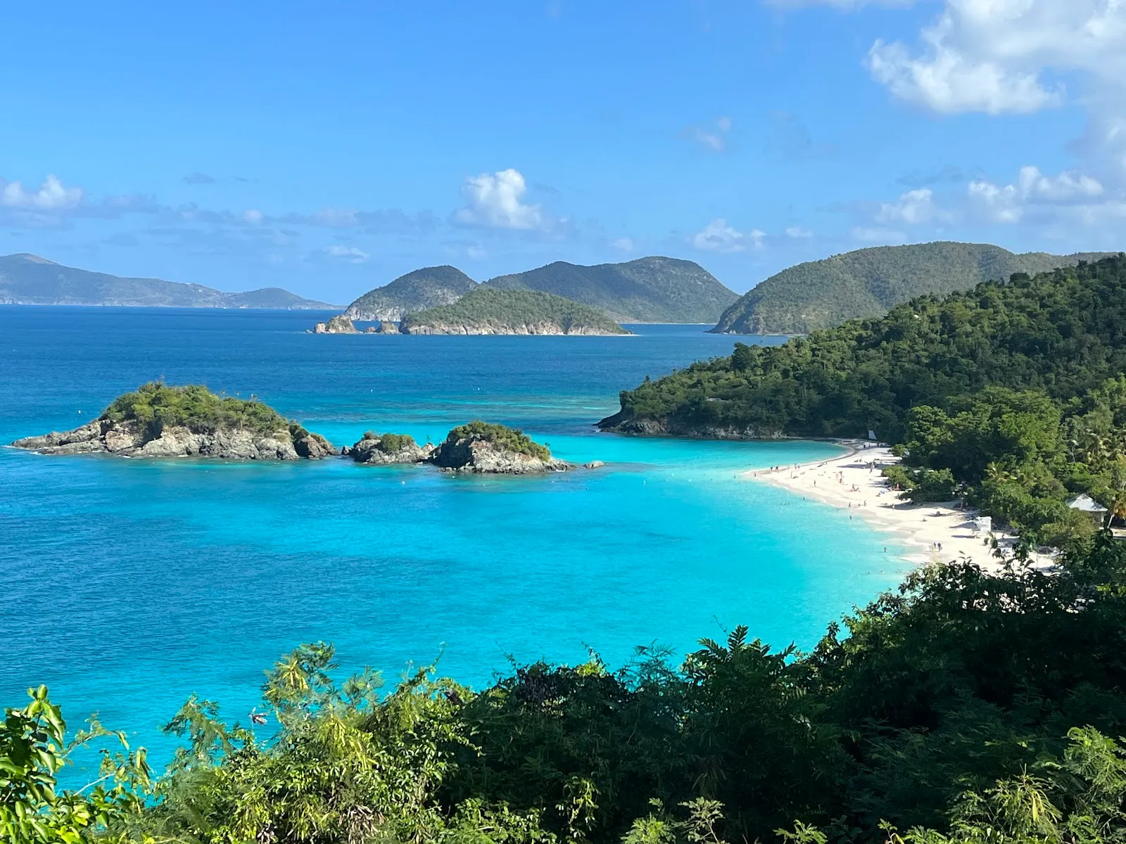
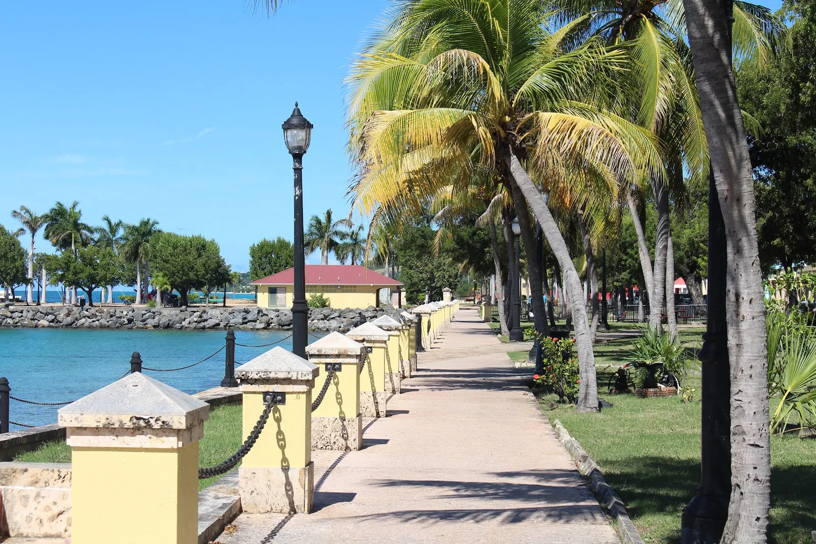
The US Virgin Islands are a US territory in the eastern Caribbean, east of Puerto Rico. Three main islands make up the group. St. Thomas has the capital, Charlotte Amalie, and a large cruise port. St. John is largely covered by Virgin Islands National Park, which has beaches and hiking trails. St. Croix, the largest island, lies farther south, with a quieter pace and two historic towns, Christiansted and Frederiksted. The islands use the US dollar, and cars drive on the left.
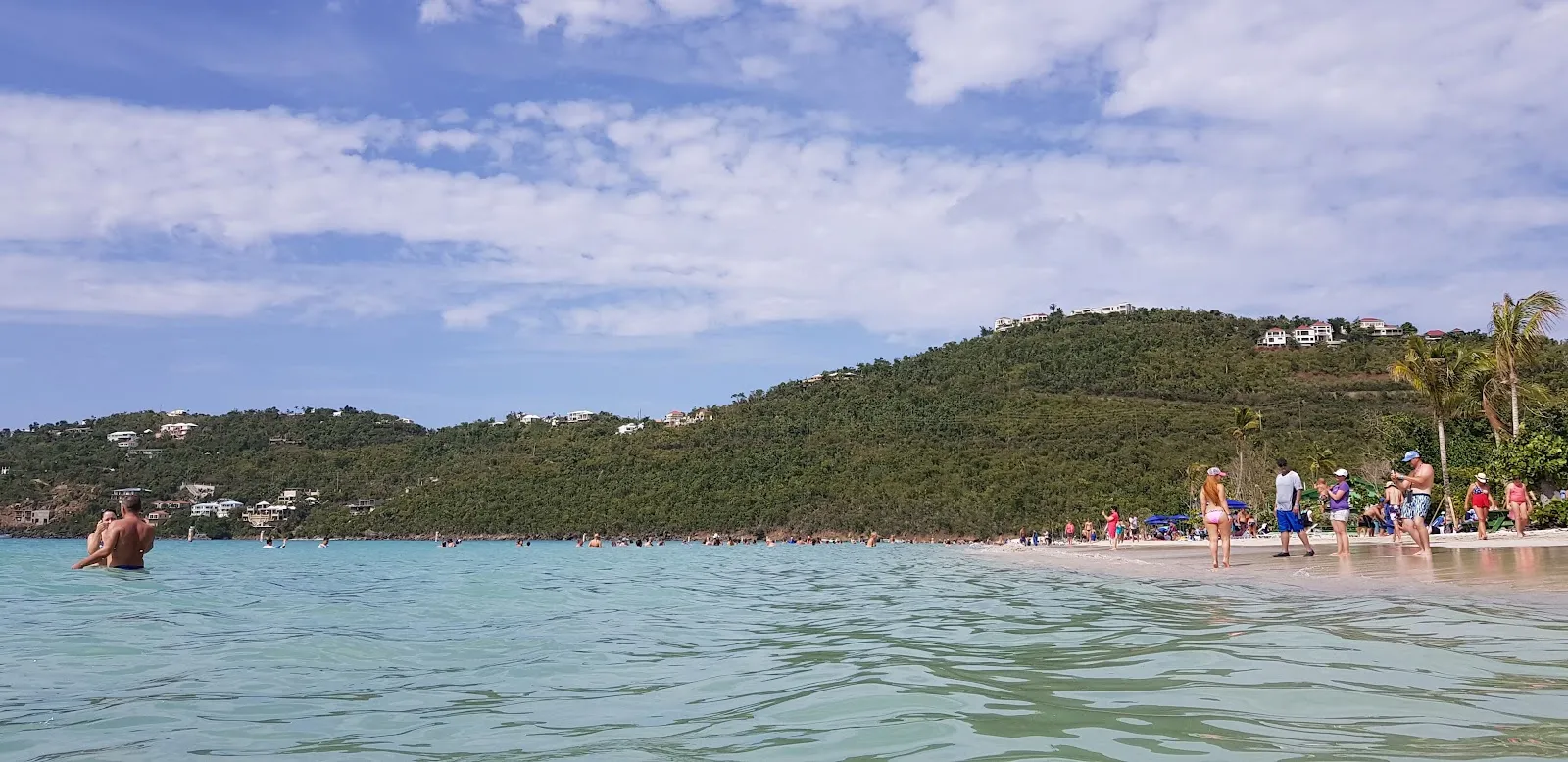
Most visitors come for beaches, snorkeling and short hikes. Many combine two islands by ferry, most often St. Thomas and St. John. The trip suits travelers who want a Caribbean beach stay with US rules and English as the main language. December to April is the drier season and the usual choice for beach time. June to November falls in hurricane season, so check forecasts before you book.
Five things to know before US Virgin Islands
- Use US entry rules
The USVI are a US territory. US citizens arriving from the mainland need no passport; other visitors need an approved ESTA or a US visa. ESTA explained
- Drive on the left
The US Virgin Islands drive on the left, usually in cars built for driving on the right. Roads on St Thomas and St John are steep and winding.
- Take the ferry to St John
Ferries from Red Hook on St Thomas cross to Cruz Bay on St John in about 20 minutes. Much of St John is Virgin Islands National Park.
- Carry a passport for the BVI
Ferries to the British Virgin Islands cross an international border. Carry a passport and complete the BVI online ED card before you go.
- Book around hurricane season
Hurricane season runs June 1 to November 30, with most storms from August to October. Buy insurance when you book and check how it handles storm cancellations. Travel insurance
US Virgin Islands travel guides
Practical guides from writers who live there.
Who needs one for the USVI, the fee and how long it lasts.
Read the guideTravel insuranceMedical, evacuation and storm cover for the Virgin Islands.
Read the guidePhones and eSIMUS plans, roaming and coverage near the BVI.
Read the guideMoney and costsUS dollars, island prices and park fees.
Read the guideGetting aroundFerries between the islands and driving on the left.
Read the guide



When to go
- Rainy days
- Days with storms
- Best
- JanuaryPartly cloudy11 rainy daysHigh26°Low25°Dry, peak seasonJanuaryPartly cloudy
Best
- High
- 26°
- Low
- 25°
- Precipitation
- 36 mm
- Rainy days
- 11
- Snowy days
- 0
- Days with storms
- 0
Dry, peak season
- FebruaryRain12 rainy daysHigh26°Low25°Dry, breezyFebruaryRain
Best
- High
- 26°
- Low
- 25°
- Precipitation
- 50 mm
- Rainy days
- 12
- Snowy days
- 0
- Days with storms
- 0
Dry, breezy
- MarchPartly cloudy10 rainy daysHigh26°Low25°Dry, sunnyMarchPartly cloudy
Best
- High
- 26°
- Low
- 25°
- Precipitation
- 38 mm
- Rainy days
- 10
- Snowy days
- 0
- Days with storms
- 0
Dry, sunny
- AprilRain12 rainy daysHigh27°Low25°Dry, quieterAprilRain
Best
- High
- 27°
- Low
- 25°
- Precipitation
- 59 mm
- Rainy days
- 12
- Snowy days
- 0
- Days with storms
- 0
Dry, quieter
- MayRain13 rainy daysHigh28°Low26°Warm, quietMayRain
- High
- 28°
- Low
- 26°
- Precipitation
- 72 mm
- Rainy days
- 13
- Snowy days
- 0
- Days with storms
- 0
Warm, quiet
- JuneRain13 rainy daysHigh28°Low27°Hurricane seasonJuneRain
- High
- 28°
- Low
- 27°
- Precipitation
- 69 mm
- Rainy days
- 13
- Snowy days
- 0
- Days with storms
- 0
Hurricane season
- JulyRain15 rainy daysHigh29°Low27°Hot, showersJulyRain
- High
- 29°
- Low
- 27°
- Precipitation
- 99 mm
- Rainy days
- 15
- Snowy days
- 0
- Days with storms
- 0
Hot, showers
- AugustRain17 rainy daysHigh29°Low27°Hurricane riskAugustRain
- High
- 29°
- Low
- 27°
- Precipitation
- 128 mm
- Rainy days
- 17
- Snowy days
- 0
- Days with storms
- 0
Hurricane risk
- SeptemberRain18 rainy days1 day with stormsHigh29°Low28°Hurricane peakSeptemberRain
- High
- 29°
- Low
- 28°
- Precipitation
- 197 mm
- Rainy days
- 18
- Snowy days
- 0
- Days with storms
- 1
Hurricane peak
- OctoberRain18 rainy days1 day with stormsHigh29°Low27°Storm risk, rainOctoberRain
- High
- 29°
- Low
- 27°
- Precipitation
- 186 mm
- Rainy days
- 18
- Snowy days
- 0
- Days with storms
- 1
Storm risk, rain
- NovemberRain17 rainy daysHigh28°Low27°Season endsNovemberRain
- High
- 28°
- Low
- 27°
- Precipitation
- 174 mm
- Rainy days
- 17
- Snowy days
- 0
- Days with storms
- 0
Season ends
- DecemberRain15 rainy daysHigh27°Low26°Busy holidaysDecemberRain
- High
- 27°
- Low
- 26°
- Precipitation
- 65 mm
- Rainy days
- 15
- Snowy days
- 0
- Days with storms
- 0
Busy holidays
Average daily high and low in Charlotte Amalie, 2016–2025. Rainy day: 1 mm of rain or more.
Right now in US Virgin Islands
Local time, today's weather and the exchange rate, refreshed through the day.

29
- Feels like
- 33°
- Humidity
- 78%
- Wind
- 28 km/h
- Chance of rain
- 61%
St. Thomas
08:50 PM
Monday, November 2
- Today30°28°61%Monday: Drizzle. High 30°, Low 28°. Chance of rain 61%.
- Tue29°28°41%Tuesday: Drizzle. High 29°, Low 28°. Chance of rain 41%.
- Wed29°27°40%Wednesday: Drizzle. High 29°, Low 27°. Chance of rain 40%.
- Thu29°26°45%Thursday: Drizzle. High 29°, Low 26°. Chance of rain 45%.
- Fri28°26°80%Friday: Drizzle. High 28°, Low 26°. Chance of rain 80%.
- Sat28°26°69%Saturday: Rain. High 28°, Low 26°. Chance of rain 69%.
- Sun29°27°45%Sunday: Drizzle. High 29°, Low 27°. Chance of rain 45%.
Updated 05:44 PM local time · Powered by WeatherAPI.com · Weather data by Open-Meteo.com
Money
Mid-market rate1 EUR = 1.116 USD
Rates from Nov 2, 2026 · Rates By Exchange Rate API
US Virgin Islands FAQ
Do I need a passport for the US Virgin Islands?
US citizens flying from the mainland do not, but carry photo ID. Foreign visitors follow the same rules as for the US mainland: an ESTA or a US visa.
Do they drive on the left in the US Virgin Islands?
Yes. The USVI drive on the left, even though most cars are built for driving on the right.
When is hurricane season in the US Virgin Islands?
June 1 to November 30, with the highest risk from August to October. December to April is drier and calmer, and prices are highest then; May and June are a good compromise.
Which island should I stay on?
St Thomas for flights, shopping and the most hotels, St John for hiking and beaches in the national park, and St Croix for a quieter, bigger island with historic towns.
Can I visit the British Virgin Islands from St Thomas?
Yes, by ferry to Tortola, Virgin Gorda or Jost Van Dyke. Bring a passport and complete the BVI ED card before crossing.