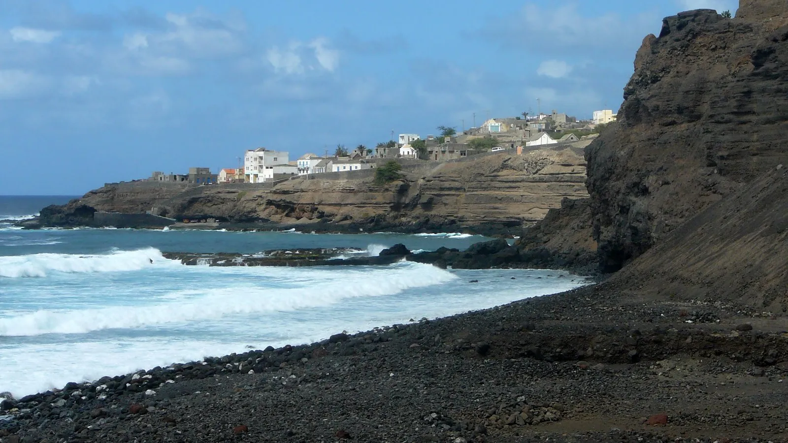
Santo Antão
Travelers come to Santo Antão to hike through green valleys and visit villages high in the mountains.
We may earn a commission. It never decides our picks.
Santo Antão is the northwestern island of Cabo Verde, a group of volcanic islands in the Atlantic off West Africa. Visitors reach it by ferry from Mindelo on São Vicente, which lands at Porto Novo.
The island is known for its mountains, deep valleys and stone villages. Trails drop from high ridges into farming valleys, and the Paúl valley and the Cova crater are two of the best-known walks. Porto Novo is the main town and the easiest place to find transport. Ribeira Grande, on the north coast, and Ponta do Sol, on the west coast, are common bases. Roads are steep and winding, and most places to stay are small guesthouses, so the island suits hikers and slow travelers. The drier months, roughly November to June, are the best time to go. Plan several nights if you want to walk more than one route.
Santo Antão in five
- Book the ferry from MindeloFerries run from Mindelo on São Vicente to Porto Novo. Sea conditions can change sailings, so keep a spare day at the start and end of the trip.Getting around
- Carry escudos in cashThe Cape Verdean escudo (CVE) is the currency. Carry cash for guesthouses, village shops and shared taxis, and change enough before the crossing.Money and costs
- Hire a 4x4 with a driver for the high roadsRoads to the Paúl valley and the Cova crater are steep and winding. A local driver in a 4x4 is the easier choice for a day trip.Tours and tickets
- Hire a local guide for the steep trailsValley and crater trails drop steeply, and some sections are exposed. Go with a local guide, and carry water and sun protection.
- Get an eSIM before the crossingMobile signal is patchy in the valleys and on mountain roads, so download offline maps before you leave Mindelo.Phones and eSIM


Need to know
- Currency
- Cape Verdean escudo (CVE)
- Entry
- Visa rules vary by nationality; check yours before you travel
- Emergency
- Ask your host for local police and ambulance numbers
- Tipping
- Ask your host what is usual
- Time
- UTC-1, no daylight saving
Weather by month
- Best
- Good
- Mixed
- Poor
- JanuaryDry season
- FebruaryDry season
- MarchDry season
- AprilDry season
- MayDry season
- JuneDry season
- JulyWarm
- AugustRainy season
- SeptemberRainy season
- OctoberRainy season
- NovemberDry season
- DecemberDry season
Right now in Santo Antão
Local time, today's weather and the exchange rate, refreshed through the day.

25
- Feels like
- 27°
- Humidity
- 76%
- Wind
- 13 km/h
- Chance of rain
- 75%
Santo Antão
07:38 PM
Monday, November 2
- Today22°14°75%Monday: Drizzle. High 22°, Low 14°. Chance of rain 75%.
- Tue21°13°87%Tuesday: Drizzle. High 21°, Low 13°. Chance of rain 87%.
- Wed21°12°36%Wednesday: Drizzle. High 21°, Low 12°. Chance of rain 36%.
- Thu21°13°72%Thursday: Drizzle. High 21°, Low 13°. Chance of rain 72%.
- Fri23°15°15%Friday: Fog. High 23°, Low 15°. Chance of rain 15%.
- Sat25°16°2%Saturday: Cloudy. High 25°, Low 16°. Chance of rain 2%.
- Sun25°16°0%Sunday: Cloudy. High 25°, Low 16°. Chance of rain 0%.
Updated 03:24 PM local time · Powered by WeatherAPI.com · Weather data by Open-Meteo.com
Money
Mid-market rate1 USD = 98.8 CVE
Rates from Nov 2, 2026 · Rates By Exchange Rate API
Day trips by train
- Mindelo, São Vicenteby ferry; the crossing time depends on sea stateThe city and music scene of the island next door, reached by the ferry.Read the guide
- Ribeira Grandeby taxi or 4x4 from Porto Novo; the time depends on the roadAn old colonial town near the Paúl valley and the Cova crater road.
- Ponta do Solby road from Porto Novo; the drive is long and windingA west-coast town with the cliff village of Fontainhas above it.
Before you go to Santo Antão
Rules for Santo Antão, checked
- Check whether your passport needs a visa or visa on arrival; the UK government travel advice lists the current entry rules.Source
- Ferry sailings depend on sea conditions, so confirm your crossing with the operator before you travel, as sailings can be cancelled.
- Valley and crater trails are steep and exposed; follow the UK safety advice and hike with someone who knows the route.Source
Plan around Santo Antão
Islands, ferries and entry rules across the country
Read the guideGetting aroundFerries from Mindelo, shared taxis and 4x4 drivers
Read the guideMoney and costsEscudos, cash and typical prices on the island
Read the guideVisas and entryVisa rules for your passport before you fly
Read the guideWhere to stayPorto Novo, Ribeira Grande and the west coast
Read the guidePhones and eSIMSignal gaps in the valleys and on mountain roads
Read the guideSanto Antão FAQ
Can you visit Santo Antão without a car?
Yes. Shared taxis and minibuses link the main towns, but high villages and trailheads are easier with a driver.
How many days do you need on Santo Antão?
Plan a few days: one or two around Porto Novo and a valley, with more for the west coast and the high villages.
Is Santo Antão good for hiking?
Yes. Valley and crater walks are the main reason to visit. The trails are steep, so bring sturdy shoes and go with a local guide.
What is the best month to visit Santo Antão?
The drier months, roughly November to June, are the best time to visit. The rainy months of August to October bring more cloud and rain.
Do you need to speak Portuguese?
Portuguese is the official language and Cabo Verdean Creole is the everyday language at home. A few words of Portuguese help in village shops.