
Cape Peron, also called Point Peron, is a coastal reserve in the Shoalwater Islands Marine Park, about 45 minutes south of Perth by car. Limestone outcrops frame small bays, white-sand beaches and clear water, with offshore reefs for snorkeling. Walk the coastal track to viewpoints and remnants of military defenses, or pause to watch birds and the ocean. The roughly 4 km route is paved and described as an easy walk. Bring water and sun protection, and check the tides before snorkeling.
Coastal tracks and viewpoints
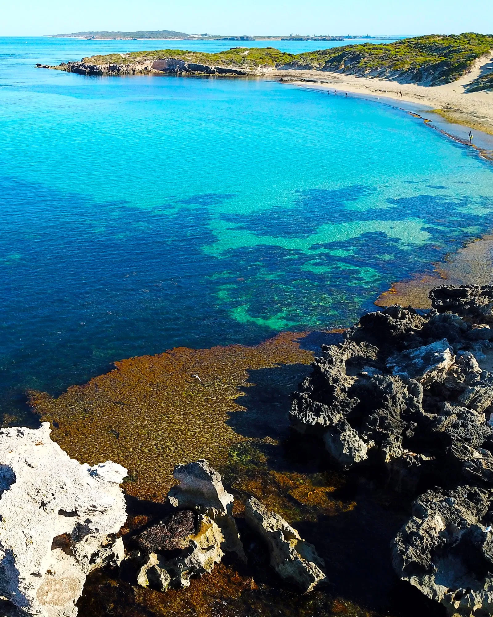
The paved coastal route runs for about 4 km and is described as an easy walk. Along the way, the shoreline shifts between beaches, small bays and rocky limestone outcrops. A viewing platform sits a short distance from the car park, giving you a place to look out over the water.
The open coast can be sunny and windy, so take water, a hat and sunscreen. Comfortable shoes are useful for exploring the trails and stopping at points along the shore.
Military history and marine life
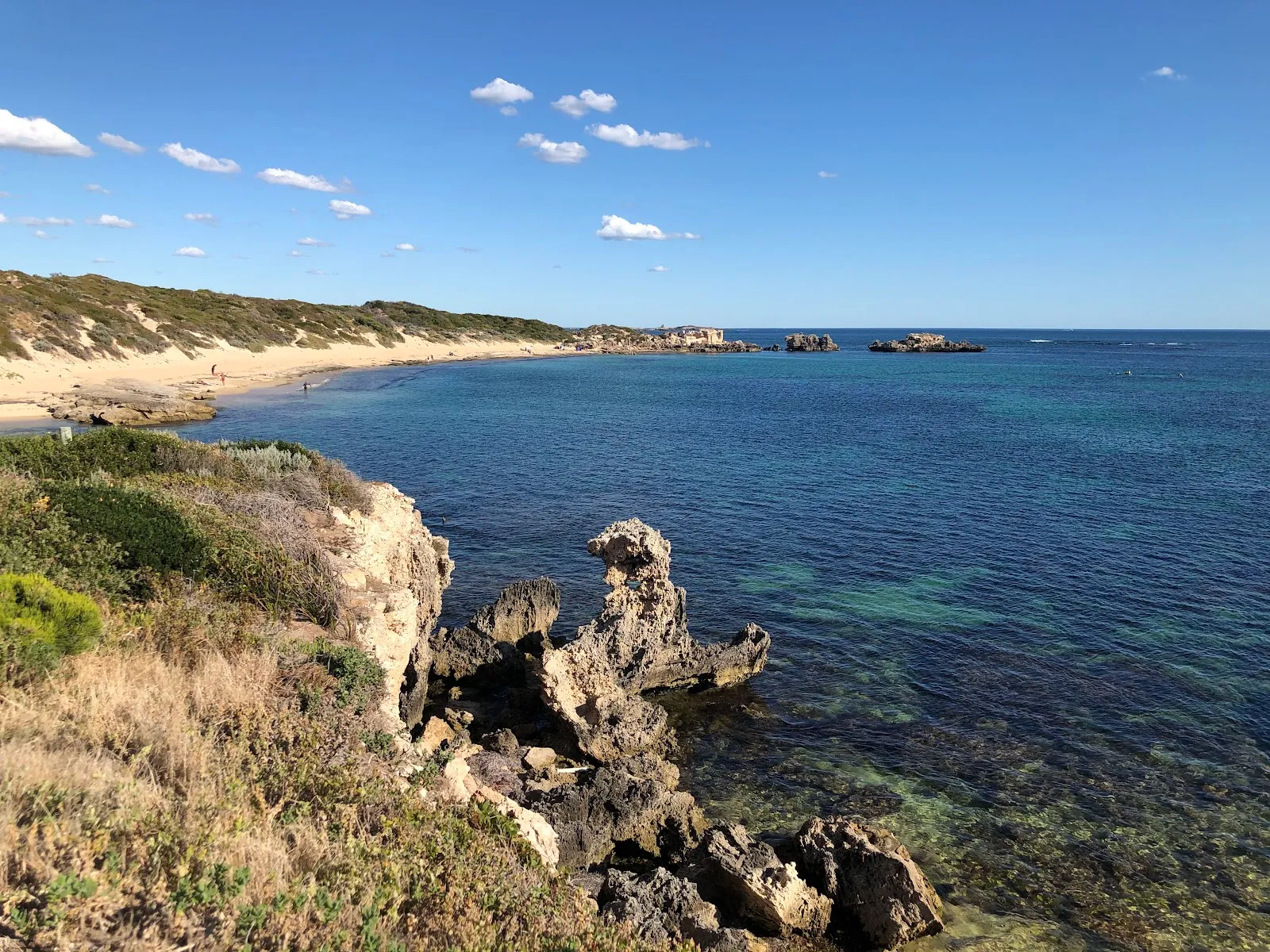
Cape Peron’s coastal paths pass remnants of military defenses, including gun batteries and a radar station. These points of interest are spaced along the route between scenic stretches of coast.
The cape lies within the Shoalwater Islands Marine Park. Offshore reefs and clear water draw snorkelers, while the coastline is also a place to watch for birds and marine life. Check tide conditions before entering the water. Jellyfish can wash up on the beach in some seasons, so look along the shore before snorkeling.
FAQ
How far is Cape Peron from Perth?
Cape Peron is about a 45-minute drive south of Perth’s city centre.
How long is the walk at Cape Peron?
A coastal route is approximately 4 km and is paved. Allow about 1 to 2 hours for a visit.
Can you snorkel at Cape Peron?
Yes. Offshore reefs and clear water make the area suitable for snorkeling. Check tide conditions and watch for jellyfish on the beach.
Are there toilets at Cape Peron?
There are no toilets at the cape. The nearest facilities are about a five-minute drive away.


