Tamborine National Park spreads across Tamborine Mountain in the Gold Coast Hinterland, with rainforest walks, waterfalls, creek pools and lookouts. Its separate areas include Cedar Creek, The Knoll, Palm Grove and Witches Falls, where Queensland’s first national park was declared in 1908. Choose a short forest walk or a longer hike, then cool off at Cedar Creek Falls when conditions allow. The Rainforest Skywalk adds an elevated route through the canopy, with views and information boards along the way.
A park spread across the mountain
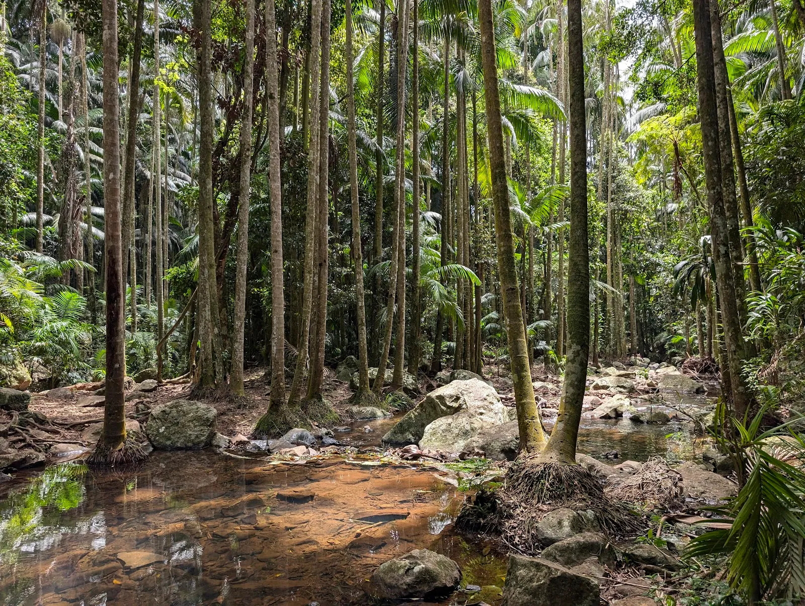
Tamborine National Park is made up of separate protected areas across Tamborine Mountain and its foothills. They include Cedar Grove, The Knoll, Palm Grove and Witches Falls. The Witches Falls area was declared Queensland’s first national park in 1908; further reserves were added over time.
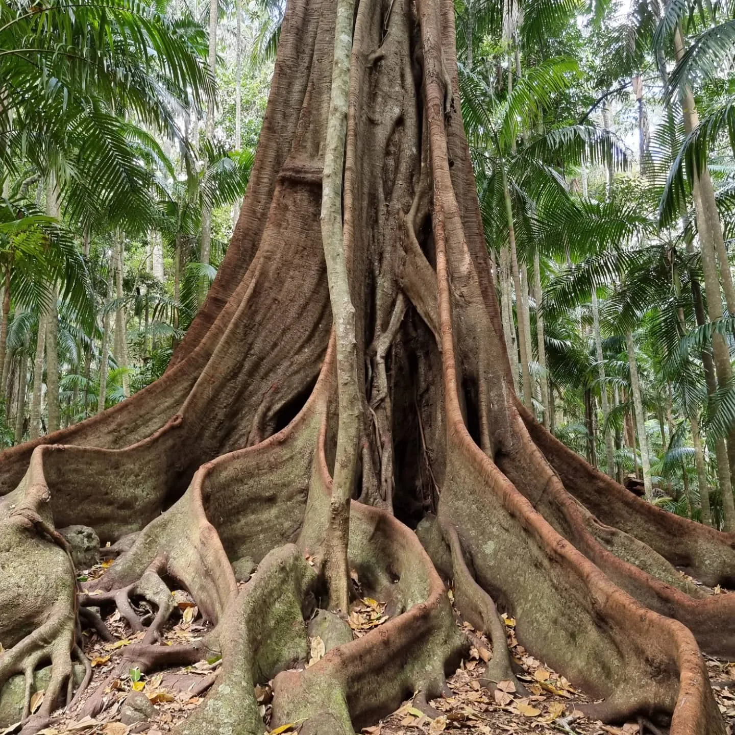
The plateau and surrounding country took shape through volcanic activity. Basalt columns, cliffs and rocky outcrops remain among the landscape’s features. Rainforest gives way to other forest types, including stands of silvery eucalypts. Piccabeen palms and large red cedars are among the trees found along the walks.
Choose a walk to suit your day
The park has walking routes of different lengths, from short tracks to more demanding hikes. At The Knoll, a trail leads to a lookout, and a left-hand track continues toward Cameron Falls. The Cameron Falls walk is described as an easy route of about an hour. The Curtis Falls track is another option: its 1.5-kilometre route passes through forest to a spring-fed waterfall.
Conditions matter on these trails. The path toward Cameron Falls is friendlier when dry, and some waterfall areas can close in wet weather, even after light rain. Check current park information before setting out, especially if a waterfall stop is the main reason for your visit.
Waterfalls, swimming and forest views
Cedar Creek Falls draws visitors to its freshwater rock pools. The walk down from the upper parking area gives access to the swimming spots, so allow for the return climb. Curtis Falls is reached on a forest track and has a natural spring-fed cascade. Witches Falls is another waterfall area, with picnic spots nearby.
For a different view of the forest, the Rainforest Skywalk takes you above the canopy and then beneath it. Information boards along the route explain features of the area, and the elevated sections provide opportunities to look across the treetops. The park’s trails also lead to scenic viewpoints, including views toward the Gold Coast and the Pacific Ocean.
Wildlife and a quieter visit
The rainforest and surrounding habitats support wildlife including Albert’s lyrebird, wallabies, koalas and the birdwing butterfly. Albert’s lyrebird is known for mimicking other birdcalls and sounds. Quiet movement on the tracks gives you a better chance of noticing wildlife without disturbing it.
Picnic areas make it possible to combine a walk with a longer stop outdoors. With limited parking at some locations, arriving outside peak periods can make the visit easier. The park’s separate sections are spread around Tamborine Mountain, so choose a particular waterfall or walk before you set off rather than assuming every trail begins from the same place.
FAQ
Can you swim at Tamborine National Park?
Cedar Creek Falls has freshwater rock pools used for swimming. Access involves walking down from the upper parking area, and waterfall areas can close in wet weather.
How long is the Curtis Falls walk?
The Curtis Falls trail is about 1.5 kilometres and leads through forest to a spring-fed waterfall.
Is parking available at Cedar Creek Falls?
Parking is limited at some park areas. For Cedar Creek Falls, park at the top and walk down to the swimming spots; nearby homes may rent out yard space.
What can you see on the Rainforest Skywalk?
The route passes above the forest canopy and then beneath it, with information boards about the area and views through the treetops.