
San Andrés
Go for clear Caribbean water, reef snorkeling and a slower island pace shaped by Raizal Creole culture.
We may earn a commission. It never decides our picks.
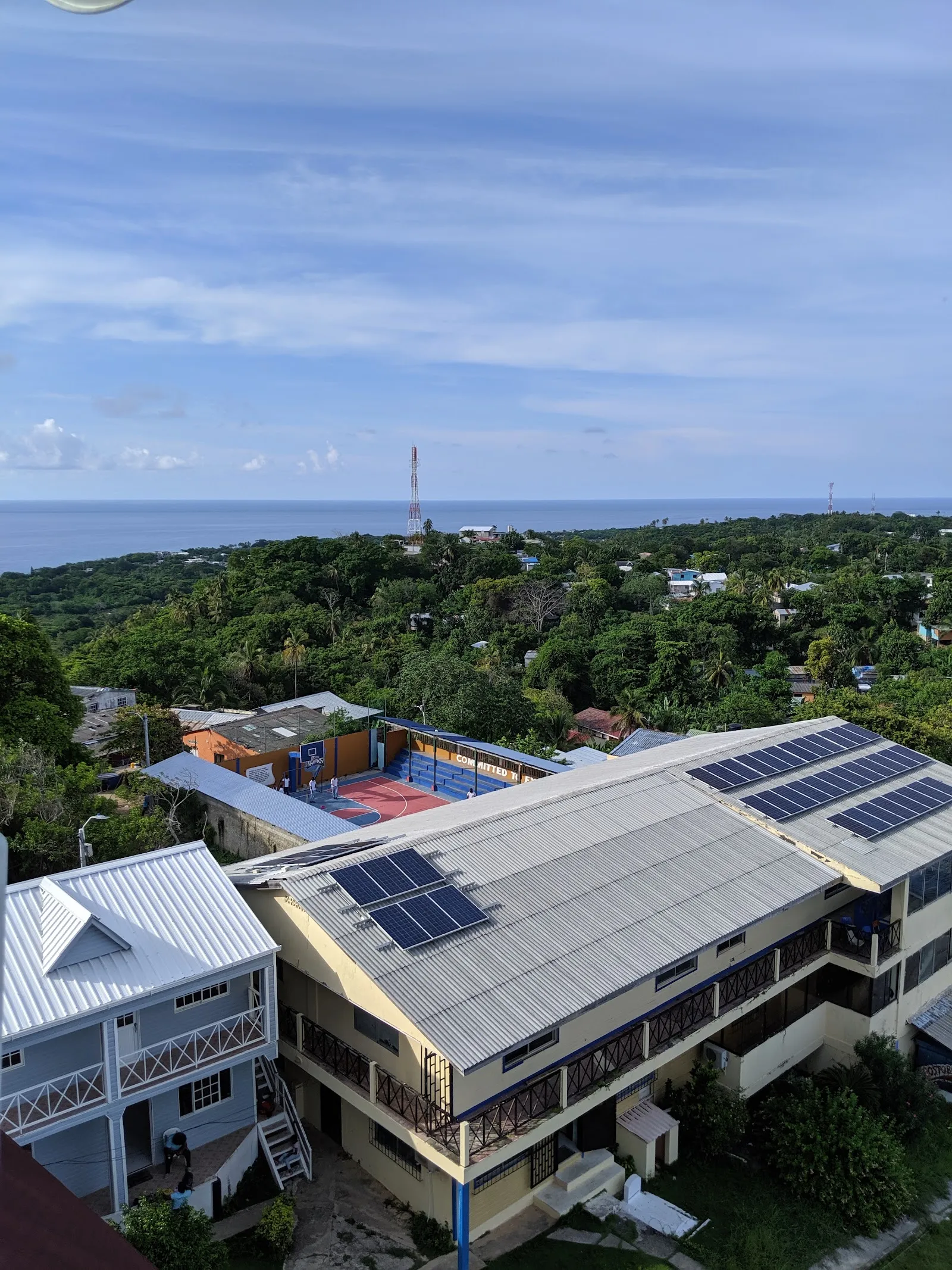
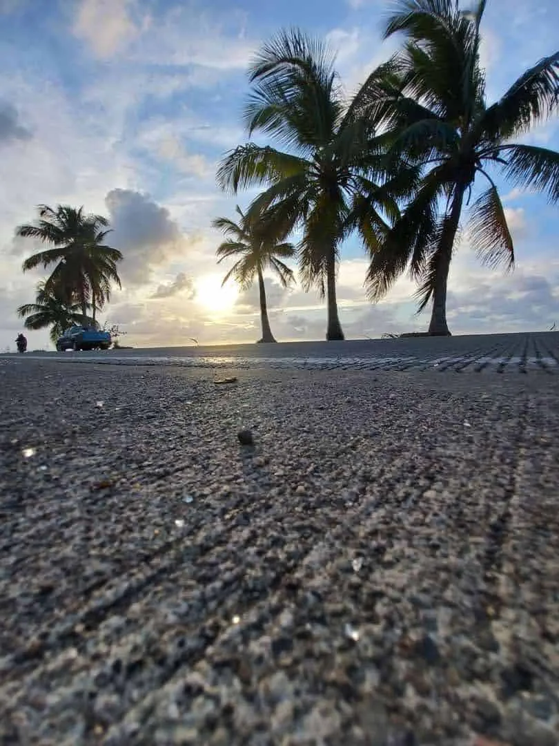
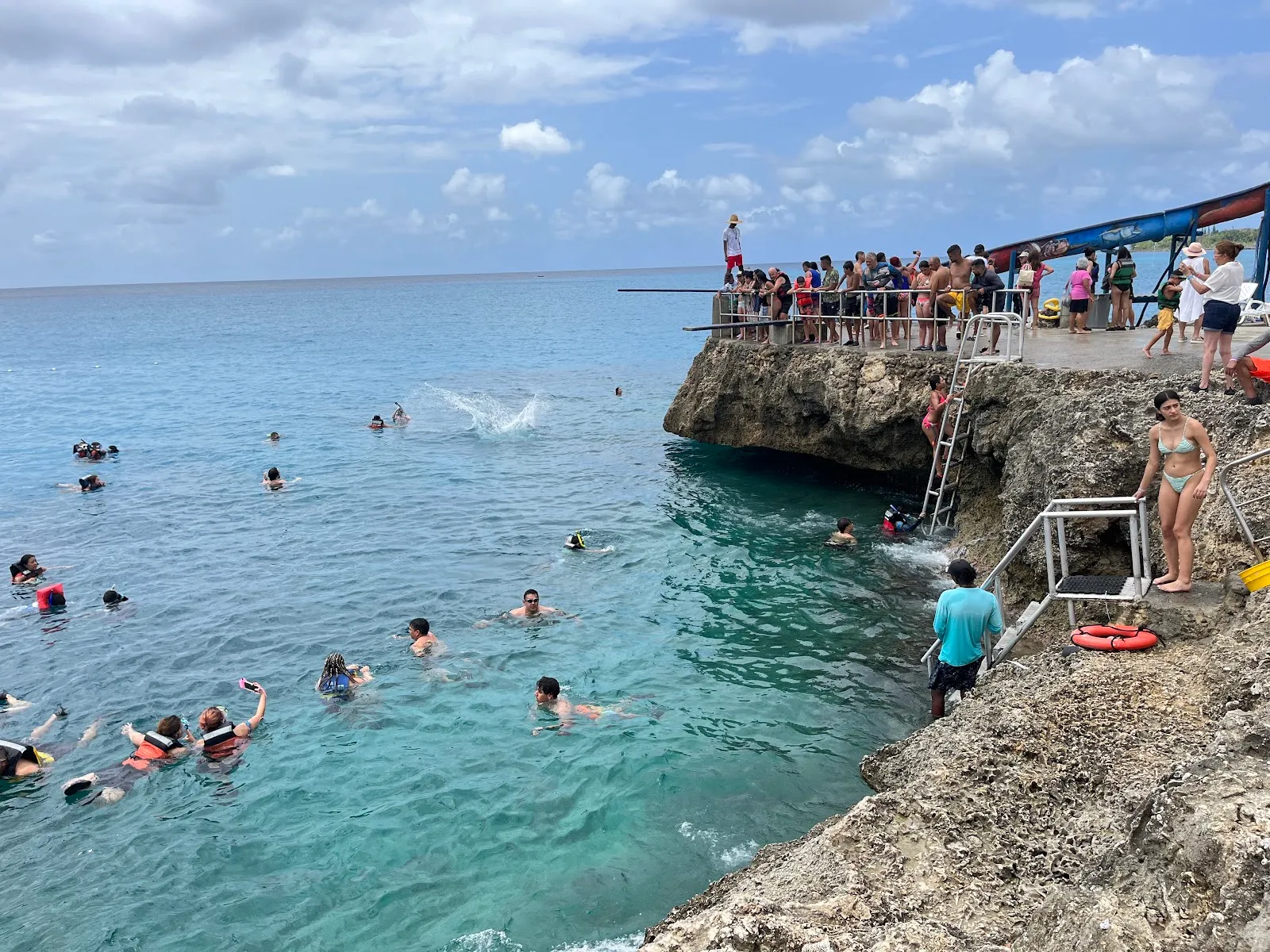
San Andrés is a Caribbean island that belongs to Colombia. It lies off the coast of Nicaragua, far from the Colombian mainland, and is part of the San Andrés, Providencia and Santa Catalina archipelago. Visitors come mainly for the sea: shallow turquoise water, white sand beaches and a coral reef offshore.
The island has a culture of its own. The Raizal people, the local Afro-Caribbean community, speak an English-based Creole alongside Spanish, and their food, music and church traditions differ from much of mainland Colombia. Duty-free shopping is also part of the island's appeal. The trip suits couples, families and divers who want a relaxed beach week with simple logistics. The drier months from December to April are the usual choice, since hurricane season runs from June to November. Plan four to seven days on the island.
San Andrés in five
- Complete Check-Mig before you flyCheck-Mig is Migración Colombia's online pre-arrival form. Complete it before you fly and keep the confirmation with your passport for immigration.Visas and entry
- Carry pesos for beach vendors and boatsBeach vendors and boat operators often want cash, so carry Colombian pesos in small notes. Use cards at hotels and larger restaurants.Money and costs
- Get a Claro or Tigo SIM or eSIMClaro and Tigo are Colombian mobile networks. An eSIM set up before you fly gives you data as soon as you land.Phones and eSIM
- Check that your insurance covers boats and stormsAsk whether your policy covers boat trips, snorkeling and cancellations caused by storms. The island is in the Atlantic hurricane belt.Travel insurance
- Check the storm season before you bookThe Atlantic storm season runs from June to November. Check IDEAM, Colombia's weather institute, and your airline before you book a trip in those months.
Things to do in San Andrés
See all attractions in San Andrés





Need to know
- Currency
- Colombian peso (COP)
- Entry
- Visa-free short stays for many passports; Check-Mig before arrival Read more
- Emergency
- 123 general emergency, 112 from mobiles
- Tipping
- 10% service charge often on the bill; extra tip optional
- Time
- UTC-5, no daylight saving
Weather by month
- Rainy days
- Days with storms
- Best
- Good
- Mixed
- Poor
- JanuaryRain16 rainy daysHigh27°Low26°Dry, holiday rushJanuaryRain
Good
- High
- 27°
- Low
- 26°
- Precipitation
- 74 mm
- Rainy days
- 16
- Snowy days
- 0
- Days with storms
- 0
Dry, holiday rush
- FebruaryRain12 rainy daysHigh27°Low26°Dry, breezyFebruaryRain
Best
- High
- 27°
- Low
- 26°
- Precipitation
- 30 mm
- Rainy days
- 12
- Snowy days
- 0
- Days with storms
- 0
Dry, breezy
- MarchPartly cloudy7 rainy daysHigh27°Low26°Dry, warmMarchPartly cloudy
Best
- High
- 27°
- Low
- 26°
- Precipitation
- 20 mm
- Rainy days
- 7
- Snowy days
- 0
- Days with storms
- 0
Dry, warm
- AprilPartly cloudy9 rainy daysHigh28°Low27°Dry, Easter crowdsAprilPartly cloudy
Good
- High
- 28°
- Low
- 27°
- Precipitation
- 32 mm
- Rainy days
- 9
- Snowy days
- 0
- Days with storms
- 0
Dry, Easter crowds
- MayRain20 rainy daysHigh28°Low27°Warming, quieterMayRain
Mixed
- High
- 28°
- Low
- 27°
- Precipitation
- 153 mm
- Rainy days
- 20
- Snowy days
- 0
- Days with storms
- 0
Warming, quieter
- JuneRain26 rainy daysHigh28°Low27°Storm season startsJuneRain
Mixed
- High
- 28°
- Low
- 27°
- Precipitation
- 329 mm
- Rainy days
- 26
- Snowy days
- 0
- Days with storms
- 0
Storm season starts
- JulyRain26 rainy days1 day with stormsHigh28°Low27°School holidaysJulyRain
Mixed
- High
- 28°
- Low
- 27°
- Precipitation
- 264 mm
- Rainy days
- 26
- Snowy days
- 0
- Days with storms
- 1
School holidays
- AugustRain24 rainy days1 day with stormsHigh28°Low27°Storm peak, busyAugustRain
Poor
- High
- 28°
- Low
- 27°
- Precipitation
- 202 mm
- Rainy days
- 24
- Snowy days
- 0
- Days with storms
- 1
Storm peak, busy
- SeptemberRain25 rainy daysHigh29°Low27°Wet, storm riskSeptemberRain
Poor
- High
- 29°
- Low
- 27°
- Precipitation
- 233 mm
- Rainy days
- 25
- Snowy days
- 0
- Days with storms
- 0
Wet, storm risk
- OctoberRain26 rainy daysHigh29°Low27°Heavy rainOctoberRain
Poor
- High
- 29°
- Low
- 27°
- Precipitation
- 305 mm
- Rainy days
- 26
- Snowy days
- 0
- Days with storms
- 0
Heavy rain
- NovemberRain26 rainy daysHigh28°Low27°Rain easingNovemberRain
Mixed
- High
- 28°
- Low
- 27°
- Precipitation
- 296 mm
- Rainy days
- 26
- Snowy days
- 0
- Days with storms
- 0
Rain easing
- DecemberRain23 rainy daysHigh28°Low27°Holiday rushDecemberRain
Good
- High
- 28°
- Low
- 27°
- Precipitation
- 162 mm
- Rainy days
- 23
- Snowy days
- 0
- Days with storms
- 0
Holiday rush
Average daily high and low in San Andrés, 2016–2025. Rainy day: 1 mm of rain or more.
Right now in San Andrés
Local time, today's weather and the exchange rate, refreshed through the day.

26
- Feels like
- 27°
- Humidity
- 86%
- Wind
- 23 km/h
- Chance of rain
- 100%
San Andrés
07:56 PM
Monday, November 2
- Today28°26°100%Monday: Thunderstorms. High 28°, Low 26°. Chance of rain 100%.
- Tue28°26°88%Tuesday: Rain. High 28°, Low 26°. Chance of rain 88%.
- Wed28°27°69%Wednesday: Drizzle. High 28°, Low 27°. Chance of rain 69%.
- Thu28°28°56%Thursday: Drizzle. High 28°, Low 28°. Chance of rain 56%.
- Fri28°28°59%Friday: Drizzle. High 28°, Low 28°. Chance of rain 59%.
- Sat29°28°55%Saturday: Drizzle. High 29°, Low 28°. Chance of rain 55%.
- Sun29°27°63%Sunday: Drizzle. High 29°, Low 27°. Chance of rain 63%.
Updated 03:50 PM local time · Powered by WeatherAPI.com · Weather data by Open-Meteo.com
Money
Mid-market rate1 USD = 3,192 COP
Rates from Nov 2, 2026 · Rates By Exchange Rate API
Day trips by train
- Johnny Cayby boat, a short ride from the beachesA small palm-covered islet with beaches, reached by boat from the island.
- Hoyo Sopladorby taxi or tour from the islandA blowhole on the rocky coast that spouts when the swell is high.
- Providenciaby plane or boat; a full day or moreThe quieter neighboring island in the archipelago, with its own beaches and reef.
Before you go to San Andrés
Rules for San Andrés, checked
- Complete Check-Mig, Migración Colombia's pre-arrival form, before you fly, and check entry rules on the official site.Source
- The Seaflower Biosphere Reserve covers the waters around San Andrés. Follow local rules on reefs, marine parks and fishing, and do not touch or stand on coral.
- Duty-free allowances for goods bought on the island are set by DIAN, Colombia's customs authority. Check its rules before you return home.Source
Plan around San Andrés
Spratt Bight, San Luis and the town compared
Read the guideGetting around San AndrésAirport transfers, taxis and island transport
Read the guideVisas and entry to ColombiaCheck-Mig, passports and entry rules
Read the guideMoney and costsPesos, cards and what small vendors take
Read the guidePhones and eSIMSIM and eSIM options for the island
Read the guideTravel insuranceCover for boats, storms and cancelled flights
Read the guideSan Andrés FAQ
Is San Andrés worth visiting?
Yes for calm turquoise water, snorkeling and a slow island pace, best in the dry season. It is a poor fit if you want big-city culture or mountain scenery, which you find on the Colombian mainland.
When is the best time to visit San Andrés?
December to April, when it is mostly dry and the sea is calmer. The Atlantic storm season runs from June to November.
Do you need a visa for San Andrés?
Many passports need no visa for short tourist stays in Colombia, and San Andrés is part of Colombia, so the same entry rules apply. Check Migración Colombia before you fly, because forms and rules can change.
Is San Andrés the same as Providencia?
No. Providencia is a separate island in the same archipelago, reached by a short flight or boat.
Is English spoken on San Andrés?
Many islanders speak English, and Raizal people traditionally speak an English-based Creole at home. Spanish is the language of official business and most signs, so learn a few phrases.