Planifier un voyage
Langue: Français
Planificateur de voyagePlanifiez votre voyage sur une carte

Destinations incontournables

EnglishDeutschFrançaisEspañolPortuguêsPortuguês (BR)Italiano
Avis aux voyageurs · MexiqueManzanillo se trouve dans ou près d'une zone où les gouvernements déconseillent tout voyage : Colima.Les conseils dépendent de votre passeport. Consultez ceux de votre propre gouvernement avant de réserver.Conseils officiels
Zones signalées
  • Colima · éviter tout voyage · Canada, Allemagne, France, Royaume-Uni
  • Guerrero · éviter tout voyage · Canada, Allemagne, Espagne, France, Nouvelle-Zélande, Royaume-Uni
  • Sinaloa · éviter tout voyage · Canada, Allemagne, Espagne, France, Nouvelle-Zélande, Royaume-Uni
  • Chiapas · éviter les voyages non essentiels · Canada, Espagne, France
  • Chihuahua · éviter les voyages non essentiels · Canada, France, Royaume-Uni
  • Route fédérale 199 San Cristóbal de las Casas–Palenque · éviter les voyages non essentiels · France, Royaume-Uni
  • Guanajuato, au sud des routes 43D et 45D · éviter les voyages non essentiels · Canada, Nouvelle-Zélande
  • Région frontalière avec le Guatemala, Chiapas · éviter les voyages non essentiels · Allemagne, France, Nouvelle-Zélande
  • Parc national Lagunas de Zempoala · éviter les voyages non essentiels · Canada, Nouvelle-Zélande
  • Michoacán · éviter les voyages non essentiels · Canada, Allemagne, Nouvelle-Zélande, Royaume-Uni
  • Nayarit, à moins de 20 km de la frontière avec le Sinaloa et Durango · éviter les voyages non essentiels · Canada, Nouvelle-Zélande
  • Nuevo León, sauf Monterrey · éviter les voyages non essentiels · Canada, Nouvelle-Zélande
  • Piedras Negras · éviter les voyages non essentiels · Espagne, France
  • Route 85 Monterrey–Nuevo Laredo · éviter les voyages non essentiels · Espagne, France
  • Sonora · éviter les voyages non essentiels · Canada, Nouvelle-Zélande
  • Tamaulipas · éviter les voyages non essentiels · Canada, France, Royaume-Uni
  • Tecate · éviter les voyages non essentiels · France, Royaume-Uni
  • Tijuana · éviter les voyages non essentiels · France, Royaume-Uni
  • Région frontalière avec les États-Unis · éviter les voyages non essentiels · Allemagne, Espagne, France
  • Zacatecas · éviter les voyages non essentiels · Canada, Allemagne, Espagne, France, Royaume-Uni

Également signalé par un seul gouvernement : Triangle Celaya–Irapuato–Salamanca, Guanajuato (France), Culiacán et ses environs (France), Nord de Ciudad Victoria, Tamaulipas (Allemagne), Route 129 Martínez de la Torre–Teziutlán (France), Route 131 Tapacoyan–Perote (France), Routes secondaires de la 180 Martínez de la Torre–Papantla (France), Route 40 Monterrey–Reynosa (France), Sud du Michoacán, d'Uruapan à la côte (France), Acapulco (France), Basse-Californie, sauf Tijuana et Tecate (France), Ciudad Acuña (Espagne), Ciudad Juárez et ses environs (Espagne), Ciudad Obregón (France), Coahuila, sauf le sud (Nouvelle-Zélande), Coatzacoalcos (France), Quartiers au nord et au nord-est du Zócalo, Mexico (France), Durango (France), Est du Nuevo León, frontalier du Tamaulipas (France), Guanajuato (Espagne), Guanajuato, route 45 entre León et Irapuato (Nouvelle-Zélande), Guanajuato, au sud-ouest de la route 45D (Royaume-Uni), Jalisco, à moins de 50 km de la frontière avec le Michoacán (Canada), Monclova (Espagne), Morelos (France), Nayarit (France), Nogales (France), Zones rurales non touristiques de Basse-Californie (Espagne), Zones rurales non touristiques du Chihuahua (Espagne), Zones rurales non touristiques du Coahuila (Espagne), Zones rurales non touristiques de Durango (Espagne), Zones rurales non touristiques du Sonora (Espagne), Municipalités du nord de Jalisco (Royaume-Uni), Nord du Tamaulipas, de San Fernando à la frontière américaine (Espagne), Nord de Veracruz, frontalier du Tamaulipas (Espagne), Nord de Veracruz à partir de Martínez de la Torre (France), Route 150D, Puebla–Orizaba (France), Route 190, Oaxaca–Santo Domingo Tehuantepec (France), Route 85 et 83 Monterrey–Ciudad Victoria–Tampico (France), Route 95 Mexico–Cuernavaca (France), Selva Lacandona (France), Sud et sud-ouest du lac de Chapala, Jalisco (Royaume-Uni), Sud-ouest du Jalisco et Los Altos, sauf Puerto Vallarta (France), Sud-ouest du Michoacán (France), Sud-ouest du Tamaulipas (France), Sud de l'État de Guanajuato (France), Sud du Michoacán, au sud de Morelia (Espagne), Bande de 40 km à partir de la frontière guatémaltèque, Chiapas (Royaume-Uni), Tepic (Nouvelle-Zélande), Toluca (France), Ville de Veracruz (France)

GouvernementConseilsMis à jourLire les conseils
Royaume-Uni (FCDO)No advice against the whole country (regional advisories)–Lire les conseils
États-Unis (State Dept)Exercise increased caution29 mai 2026Lire les conseils
Canada (Affaires mondiales)Exercise a high degree of caution (regional advisories)–Lire les conseils
Allemagne (Auswärtiges Amt)Besondere Vorsicht walten lassen (Sicherheitslage) (regional advisories)19 oct. 2026Lire les conseils
Nouvelle-Zélande (SafeTravel)Exercise increased caution (regional advisories)–Lire les conseils
France (ministère de l'Europe et des Affaires étrangères)Vigilance renforcée pour le reste du pays (regional advisories)–Lire les conseils

Vérifié quotidiennement d'après les conseils publiés par les gouvernements ; dernière vérification le 2 nov. 2026.RoamLedger résume les conseils officiels ; il ne s'agit pas de conseils émanant d'un gouvernement.

Playa La Boquita
Monument emblématique

Playa La Boquita

Playa La Boquita is a beach at the western end of Bahía de Santiago, in Manzanillo on the Pacific coast of Colima, Mexico.

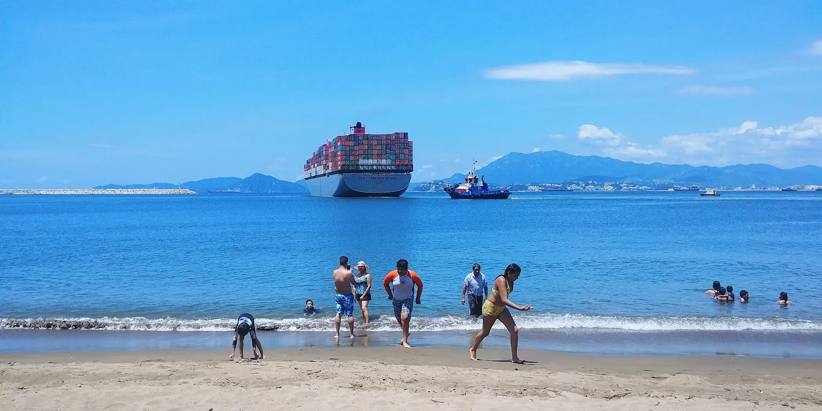
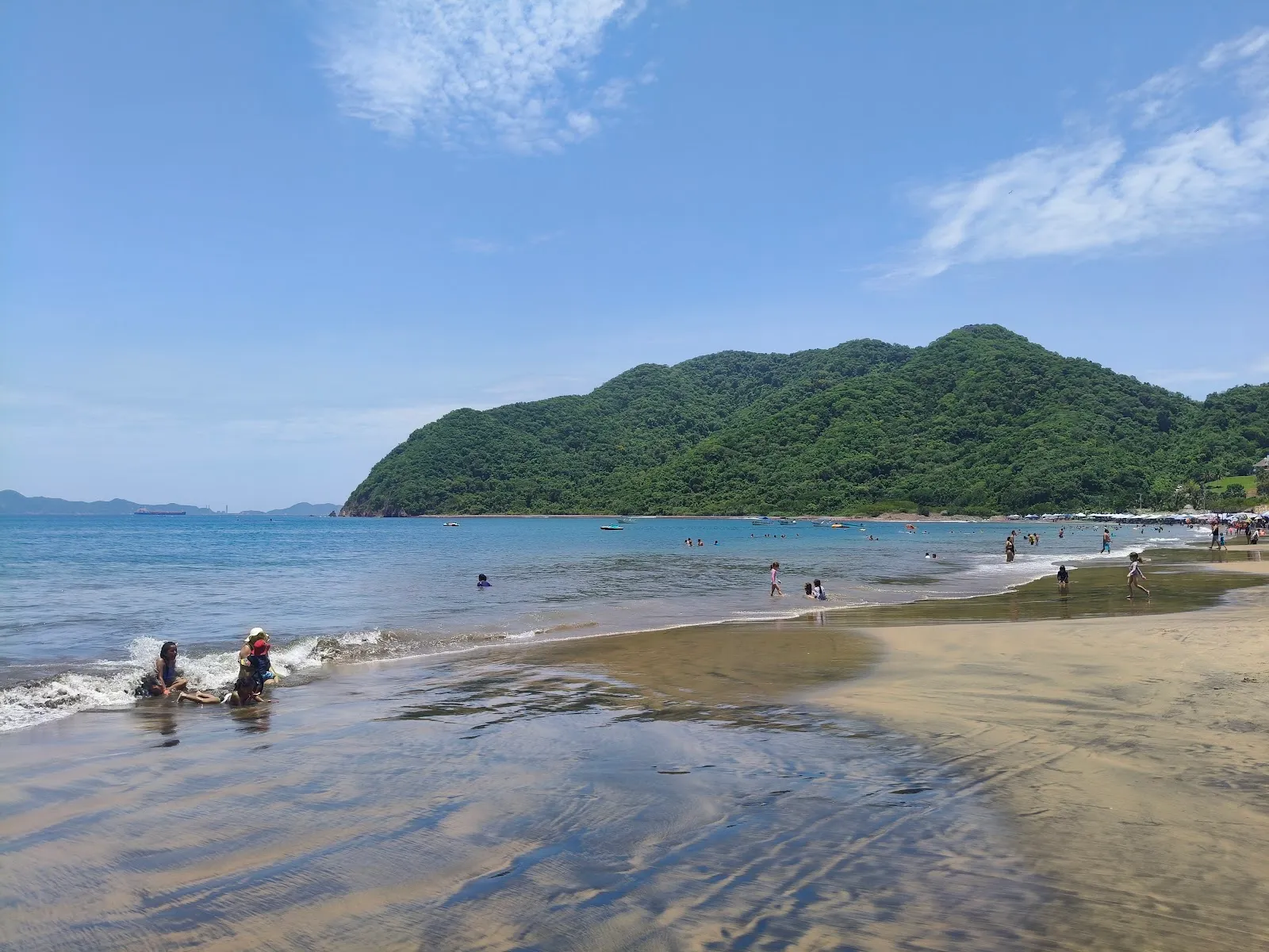
Playa La Boquita is a beach at the western end of Bahía de Santiago, in Manzanillo on the Pacific coast of Colima, Mexico. Mountains rise around the bay, and the sand and shallow shoreline catch a gold shimmer in the sun. Families with young children come for the gentler water on calm days and for room to spread out away from the busy restaurant rows. Between swims, you can eat seafood under palm-roofed ramadas, drink iced coconut, or walk the trail into the hills toward abandoned houses.

Getting there and parking
Playa La Boquita
Playa La Boquita

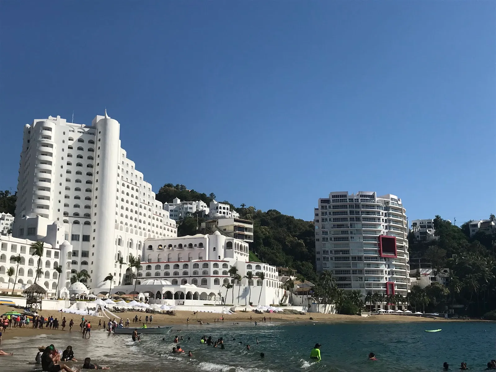
Playa La Boquita sits in the Miramar area of Manzanillo. If you drive, there is a free parking lot and a paid one, and you can also find free and paid street parking nearby.

Without a car, you can reach the beach by taxi or bus. From the road, expect a walk of 20 to 25 minutes along the sand.

The beach and the water
Playa La Boquita
Playa La Boquita

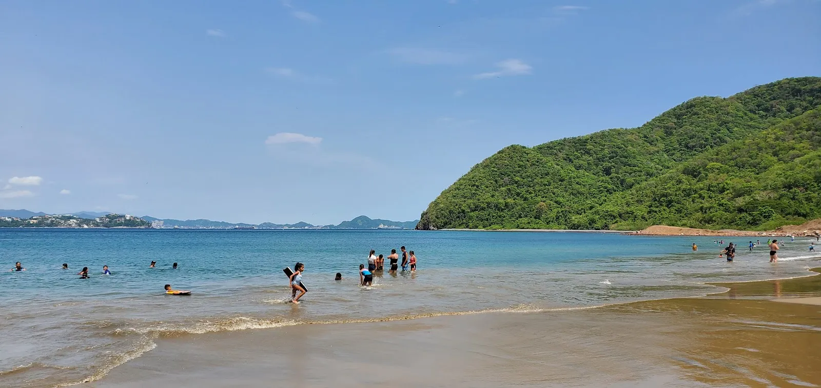
The beach is cleaner and more open on its main stretch than the busier areas along the bay. The sand gleams gold when wet and shows a silver shine where it is dry, and some visitors notice small metallic sparks across the beach.

The current is not especially strong, and the mountains around the bay give the beach a sheltered feel. On windy days, however, the waves can be large and rough. The shore is also rockier in some places, particularly to the left.

The beach is one of the places where local fishing competitions are held. Fishermen often start and end their days here, so you may see boats and nets at the water's edge early in the morning.

Restaurant zone and open sand

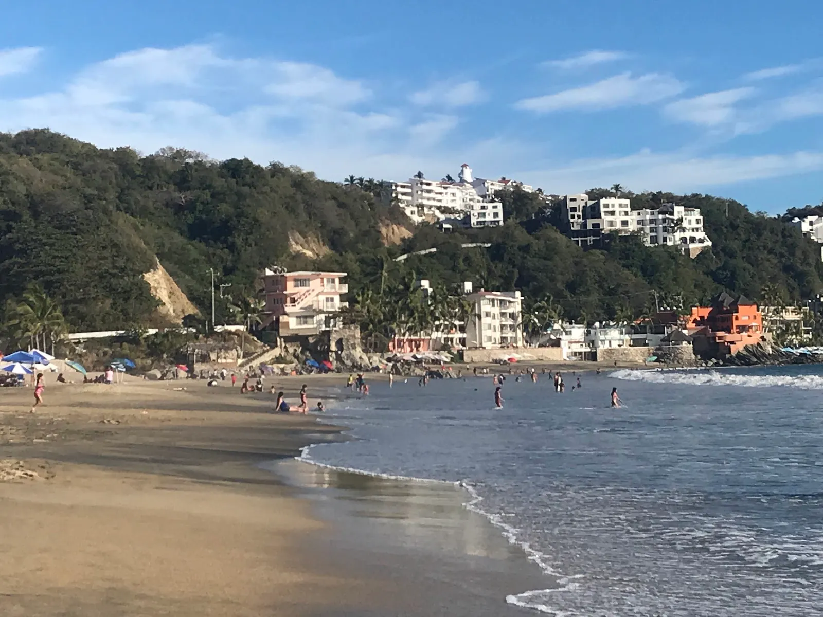
The restaurant zone has the most activity, with umbrellas set close together and vendors walking the sand. If you want quiet, walk past it toward the open stretches, where there is plenty of room.

Vendors move up and down the beach through the day. Many offer water toys, souvenirs and snacks, and they are part of the beach's character.

Hiking, snorkeling and food

A trail climbs into the mountains above the beach and passes abandoned houses, which makes a good walk before or after a swim. Camping areas are also available in the area.

For snorkelers, a shipwreck lies about 500 meters offshore. The lagoon next to the beach can make the water murkier near the shore, so the wreck is the reason many people go out past the shallows.

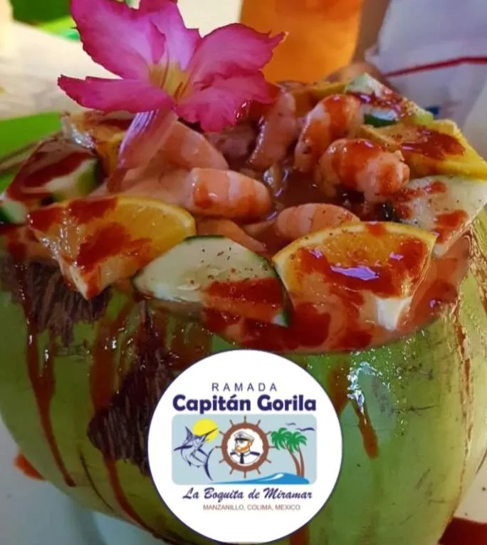
The ramadas serve seafood, and informal restaurants sell iced coconuts. Sit in the shade of a palm-frond palapa, order a plate of seafood, and take your time between swims.

FAQ

How do I get to Playa La Boquita without a car?

Take a taxi or a bus and walk in. From the road, allow 20 to 25 minutes along the beach.

Is there parking at Playa La Boquita?

Yes. There is a free parking lot, a paid parking lot, and both free and paid street parking.

How much do umbrellas cost?

Umbrella rental has been around 180 pesos. Prices can change, so ask before you pay.

Can you snorkel here?

Yes. A shipwreck lies about 500 meters offshore, and snorkelers explore it.
Autres incontournables à Manzanillo

Tout explorer