Planifica un viaje
Idioma: Español
Planificador de viajesPlanifica tu viaje en un mapa

Destinos principales

EnglishDeutschFrançaisEspañolPortuguêsPortuguês (BR)Italiano
Aviso de viaje · MéxicoManzanillo se encuentra en una zona o cerca de ella donde los gobiernos recomiendan evitar cualquier viaje: Colima.Los consejos dependen de tu pasaporte. Lee los de tu propio gobierno antes de reservar.Recomendaciones oficiales
Zonas con advertencias
  • Colima · evitar todo viaje · Canadá, Alemania, Francia, Reino Unido
  • Guerrero · evitar todo viaje · Canadá, Alemania, España, Francia, Nueva Zelanda, Reino Unido
  • Sinaloa · evitar todo viaje · Canadá, Alemania, España, Francia, Nueva Zelanda, Reino Unido
  • Chiapas · evitar viajes no esenciales · Canadá, España, Francia
  • Chihuahua · evitar viajes no esenciales · Canadá, Francia, Reino Unido
  • Carretera federal 199 San Cristóbal de las Casas–Palenque · evitar viajes no esenciales · Francia, Reino Unido
  • Guanajuato, al sur de las carreteras 43D y 45D · evitar viajes no esenciales · Canadá, Nueva Zelanda
  • Región fronteriza con Guatemala, Chiapas · evitar viajes no esenciales · Alemania, Francia, Nueva Zelanda
  • Parque nacional Lagunas de Zempoala · evitar viajes no esenciales · Canadá, Nueva Zelanda
  • Michoacán · evitar viajes no esenciales · Canadá, Alemania, Nueva Zelanda, Reino Unido
  • Nayarit, a menos de 20 km de la frontera con Sinaloa y Durango · evitar viajes no esenciales · Canadá, Nueva Zelanda
  • Nuevo León, excepto Monterrey · evitar viajes no esenciales · Canadá, Nueva Zelanda
  • Piedras Negras · evitar viajes no esenciales · España, Francia
  • Carretera 85 Monterrey–Nuevo Laredo · evitar viajes no esenciales · España, Francia
  • Sonora · evitar viajes no esenciales · Canadá, Nueva Zelanda
  • Tamaulipas · evitar viajes no esenciales · Canadá, Francia, Reino Unido
  • Tecate · evitar viajes no esenciales · Francia, Reino Unido
  • Tijuana · evitar viajes no esenciales · Francia, Reino Unido
  • Región fronteriza con Estados Unidos · evitar viajes no esenciales · Alemania, España, Francia
  • Zacatecas · evitar viajes no esenciales · Canadá, Alemania, España, Francia, Reino Unido

También señalada por un gobierno: Triángulo Celaya–Irapuato–Salamanca, Guanajuato (Francia), Culiacán y alrededores (Francia), Norte de Ciudad Victoria, Tamaulipas (Alemania), Carretera 129 Martínez de la Torre–Teziutlán (Francia), Carretera 131 Tapacoyan–Perote (Francia), Carreteras secundarias de la 180 Martínez de la Torre–Papantla (Francia), Carretera 40 Monterrey–Reynosa (Francia), Sur de Michoacán, desde Uruapan hasta la costa (Francia), Acapulco (Francia), Baja California, excepto Tijuana y Tecate (Francia), Ciudad Acuña (España), Ciudad Juárez y alrededores (España), Ciudad Obregón (Francia), Coahuila, excepto el sur (Nueva Zelanda), Coatzacoalcos (Francia), Colonias al norte y noreste del Zócalo, Ciudad de México (Francia), Durango (Francia), Este de Nuevo León, limítrofe con Tamaulipas (Francia), Guanajuato (España), Guanajuato, carretera 45 entre León e Irapuato (Nueva Zelanda), Guanajuato, al suroeste de la carretera 45D (Reino Unido), Jalisco, a menos de 50 km de la frontera con Michoacán (Canadá), Monclova (España), Morelos (Francia), Nayarit (Francia), Nogales (Francia), Zonas rurales no turísticas de Baja California (España), Zonas rurales no turísticas de Chihuahua (España), Zonas rurales no turísticas de Coahuila (España), Zonas rurales no turísticas de Durango (España), Zonas rurales no turísticas de Sonora (España), Municipios del norte de Jalisco (Reino Unido), Norte de Tamaulipas, desde San Fernando hasta la frontera con EE. UU. (España), Norte de Veracruz, limítrofe con Tamaulipas (España), Norte de Veracruz desde Martínez de la Torre (Francia), Carretera 150D, Puebla–Orizaba (Francia), Carretera 190, Oaxaca–Santo Domingo Tehuantepec (Francia), Carreteras 85 y 83 Monterrey–Ciudad Victoria–Tampico (Francia), Carretera 95 Ciudad de México–Cuernavaca (Francia), Selva Lacandona (Francia), Sur y suroeste del lago de Chapala, Jalisco (Reino Unido), Suroeste de Jalisco y Los Altos, excepto Puerto Vallarta (Francia), Suroeste de Michoacán (Francia), Suroeste de Tamaulipas (Francia), Sur del estado de Guanajuato (Francia), Sur de Michoacán, al sur de Morelia (España), Franja de 40 km desde la frontera con Guatemala, Chiapas (Reino Unido), Tepic (Nueva Zelanda), Toluca (Francia), Ciudad de Veracruz (Francia)

GobiernoConsejosActualizadoLeer las recomendaciones
Reino Unido (FCDO)No advice against the whole country (regional advisories)–Leer las recomendaciones
Estados Unidos (Departamento de Estado)Exercise increased caution29 may 2026Leer las recomendaciones
Canadá (Asuntos Globales)Exercise a high degree of caution (regional advisories)–Leer las recomendaciones
Alemania (Auswärtiges Amt)Besondere Vorsicht walten lassen (Sicherheitslage) (regional advisories)19 oct 2026Leer las recomendaciones
Nueva Zelanda (SafeTravel)Exercise increased caution (regional advisories)–Leer las recomendaciones
Francia (Ministerio de Europa y Asuntos Exteriores)Vigilance renforcée pour le reste du pays (regional advisories)–Leer las recomendaciones

Revisado a diario según los consejos publicados por los gobiernos; última revisión 3 nov 2026.RoamLedger resume las recomendaciones oficiales; no son consejos de ningún gobierno.

Playa La Boquita
Lugar emblemático

Playa La Boquita

Playa La Boquita is a beach at the western end of Bahía de Santiago, in Manzanillo on the Pacific coast of Colima, Mexico.

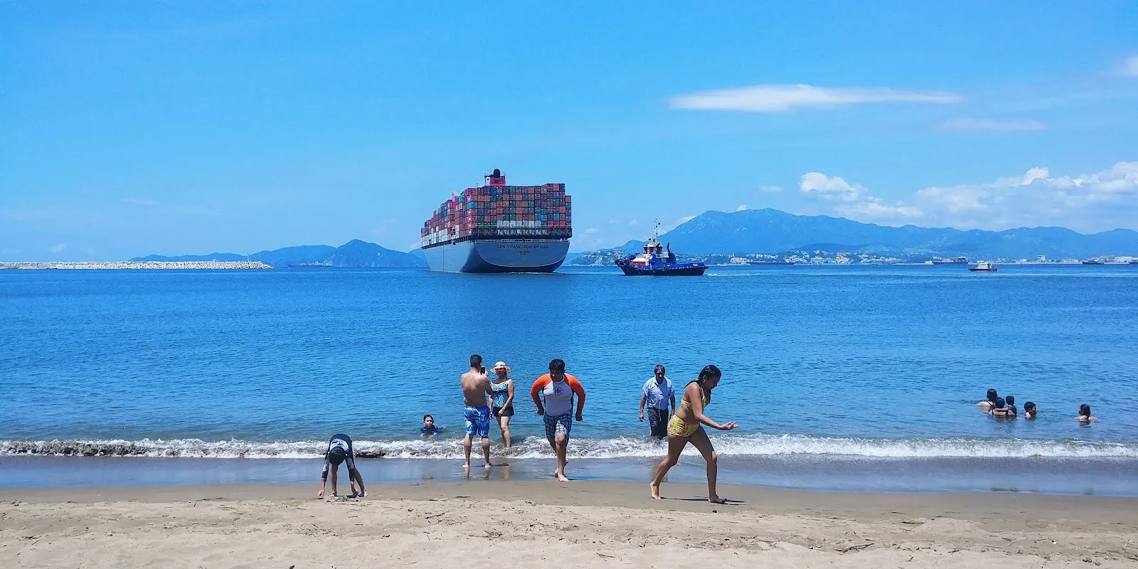
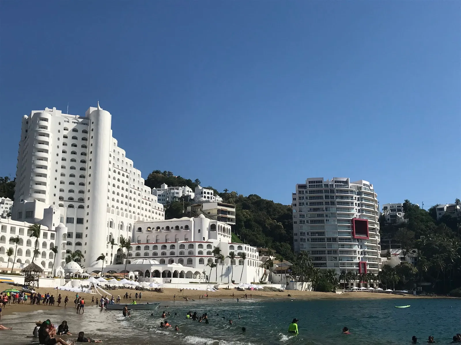
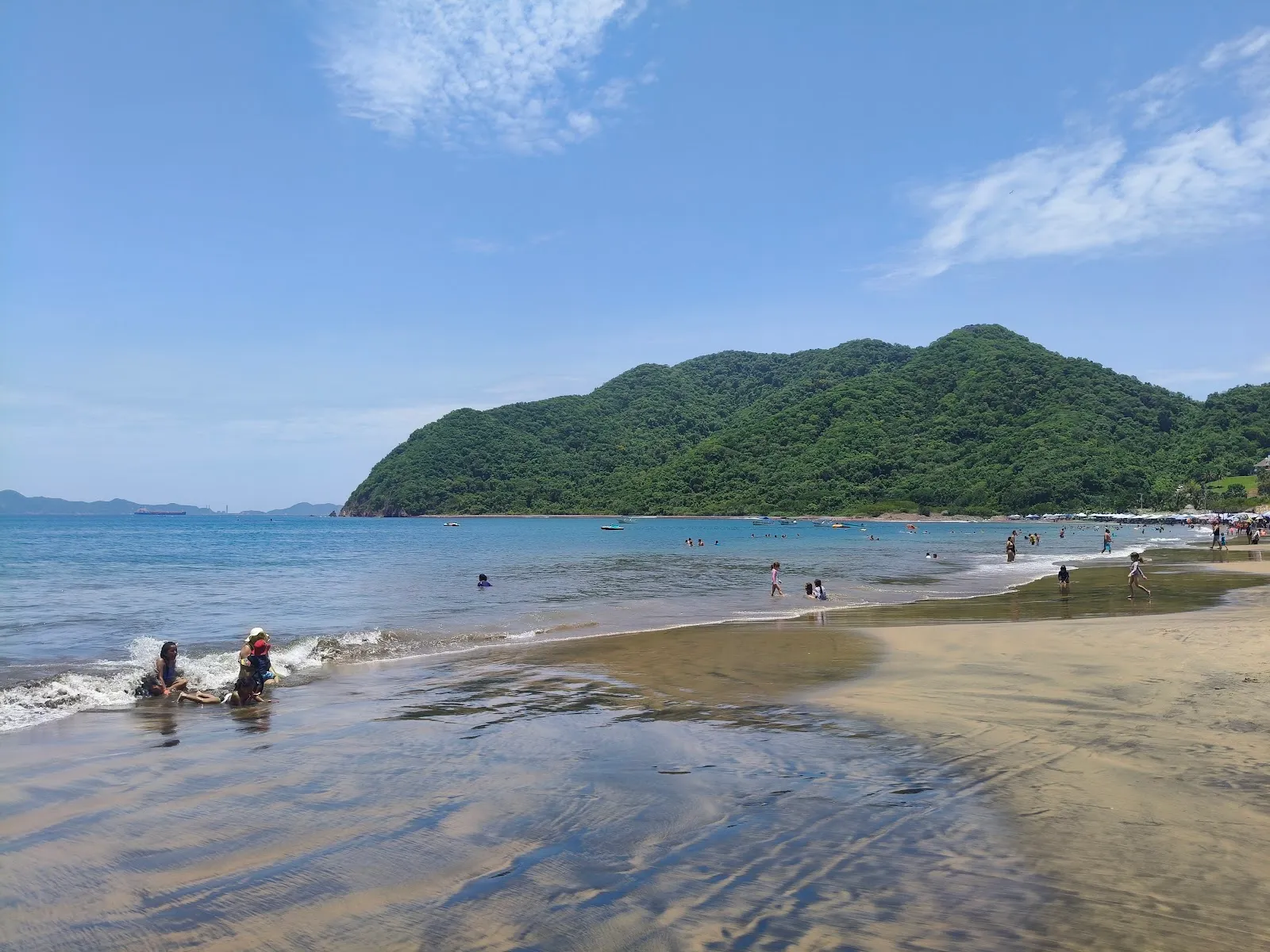
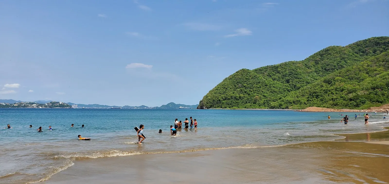
Playa La Boquita is a beach at the western end of Bahía de Santiago, in Manzanillo on the Pacific coast of Colima, Mexico. Mountains rise around the bay, and the sand and shallow shoreline catch a gold shimmer in the sun. Families with young children come for the gentler water on calm days and for room to spread out away from the busy restaurant rows. Between swims, you can eat seafood under palm-roofed ramadas, drink iced coconut, or walk the trail into the hills toward abandoned houses.

Getting there and parking
Playa La Boquita
Playa La Boquita

Playa La Boquita sits in the Miramar area of Manzanillo. If you drive, there is a free parking lot and a paid one, and you can also find free and paid street parking nearby.

Without a car, you can reach the beach by taxi or bus. From the road, expect a walk of 20 to 25 minutes along the sand.

The beach and the water
Playa La Boquita
Playa La Boquita

The beach is cleaner and more open on its main stretch than the busier areas along the bay. The sand gleams gold when wet and shows a silver shine where it is dry, and some visitors notice small metallic sparks across the beach.

The current is not especially strong, and the mountains around the bay give the beach a sheltered feel. On windy days, however, the waves can be large and rough. The shore is also rockier in some places, particularly to the left.

The beach is one of the places where local fishing competitions are held. Fishermen often start and end their days here, so you may see boats and nets at the water's edge early in the morning.

Restaurant zone and open sand

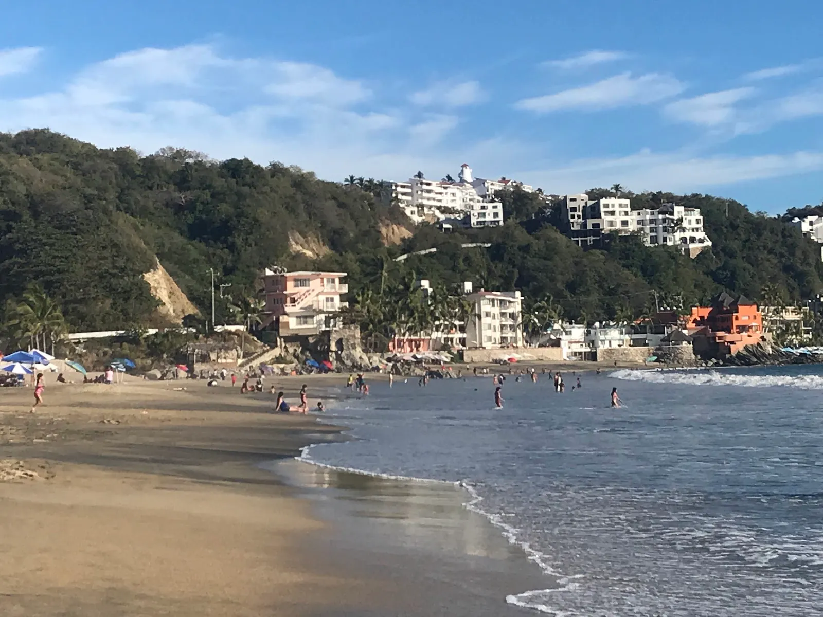
The restaurant zone has the most activity, with umbrellas set close together and vendors walking the sand. If you want quiet, walk past it toward the open stretches, where there is plenty of room.

Vendors move up and down the beach through the day. Many offer water toys, souvenirs and snacks, and they are part of the beach's character.

Hiking, snorkeling and food

A trail climbs into the mountains above the beach and passes abandoned houses, which makes a good walk before or after a swim. Camping areas are also available in the area.

For snorkelers, a shipwreck lies about 500 meters offshore. The lagoon next to the beach can make the water murkier near the shore, so the wreck is the reason many people go out past the shallows.

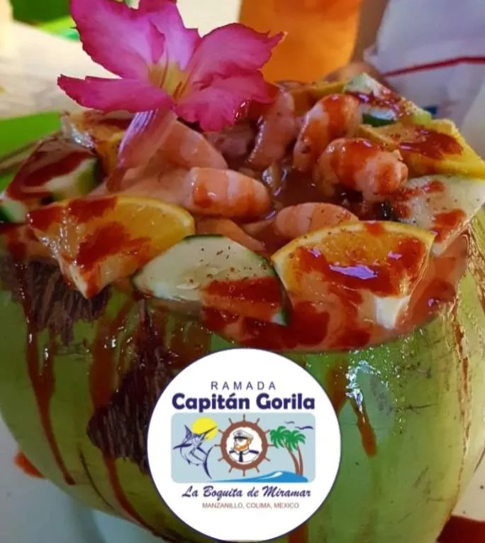
The ramadas serve seafood, and informal restaurants sell iced coconuts. Sit in the shade of a palm-frond palapa, order a plate of seafood, and take your time between swims.

Preguntas frecuentes

How do I get to Playa La Boquita without a car?

Take a taxi or a bus and walk in. From the road, allow 20 to 25 minutes along the beach.

Is there parking at Playa La Boquita?

Yes. There is a free parking lot, a paid parking lot, and both free and paid street parking.

How much do umbrellas cost?

Umbrella rental has been around 180 pesos. Prices can change, so ask before you pay.

Can you snorkel here?

Yes. A shipwreck lies about 500 meters offshore, and snorkelers explore it.
Más lugares imprescindibles en Manzanillo

Explorar todo