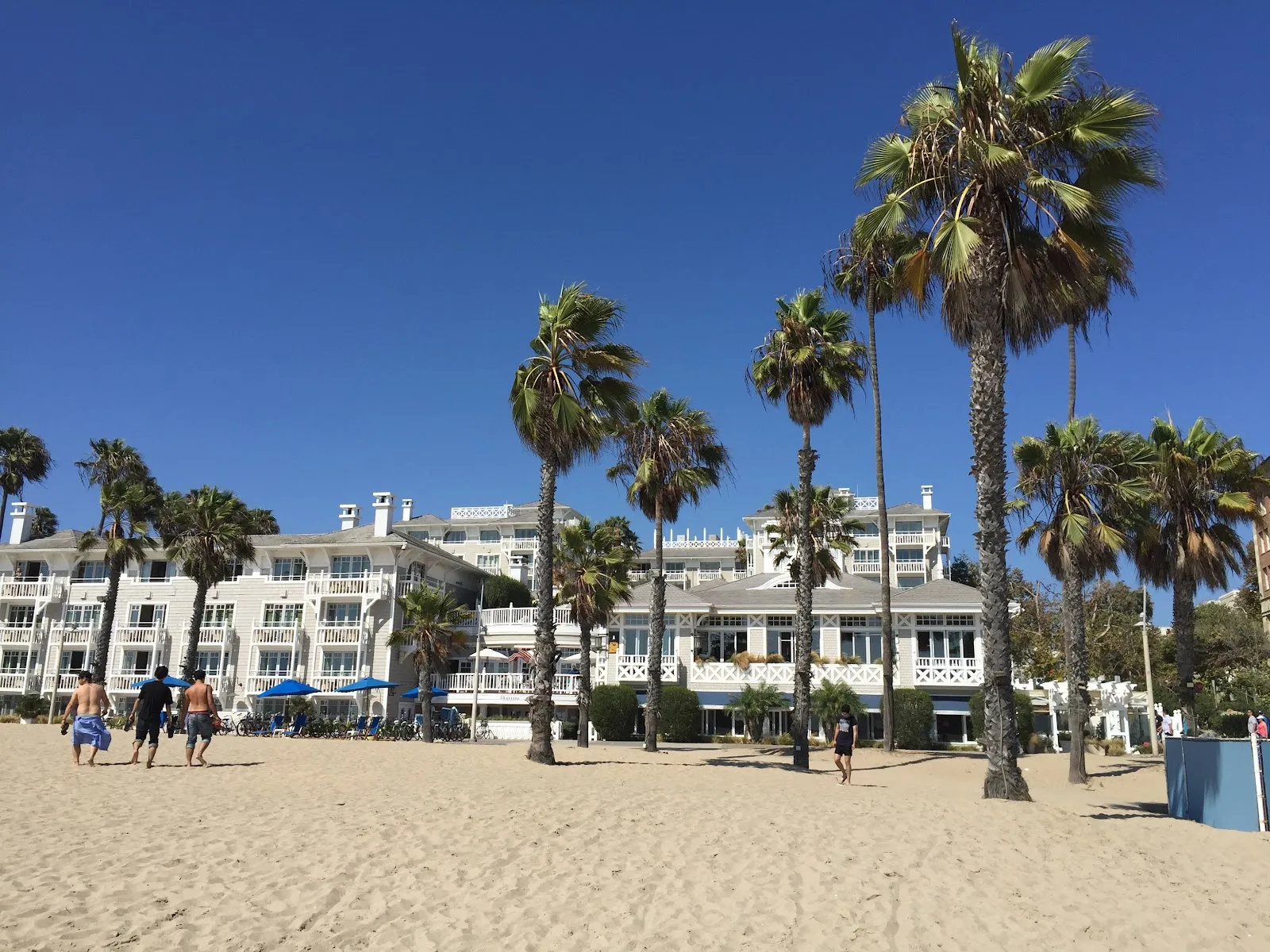
The Marvin Braude Bike Trail, also called The Strand, follows the Los Angeles coast between Will Rogers State Beach and Torrance Beach. Its mostly flat, paved route runs for about 22 miles each way, with Pacific views and stops at beaches, piers, shops and places to eat. Ride near Marina del Rey, watch surfers at Manhattan Beach or take a break in Venice for people-watching. Parts of the route pass through streets or shared paths, so expect a slower pace around walkers, especially in busier areas.
How the coastal route runs
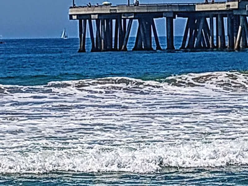
The Strand links Will Rogers State Beach in the north with Torrance Beach in the south. The paved path is mostly flat, but it does not stay on a separate bike path for the entire route. Around Marina del Rey, it follows Washington Boulevard toward Venice Beach and connects with streets and dedicated bike lanes in places.
The route passes Dockweiler Beach, where hang gliders are a familiar sight, and Manhattan Beach, where you can stop to watch surfers. Burke Park has pedestrian loops and wildlife habitat. These stops make it easy to break a ride into shorter sections.
Sharing the path
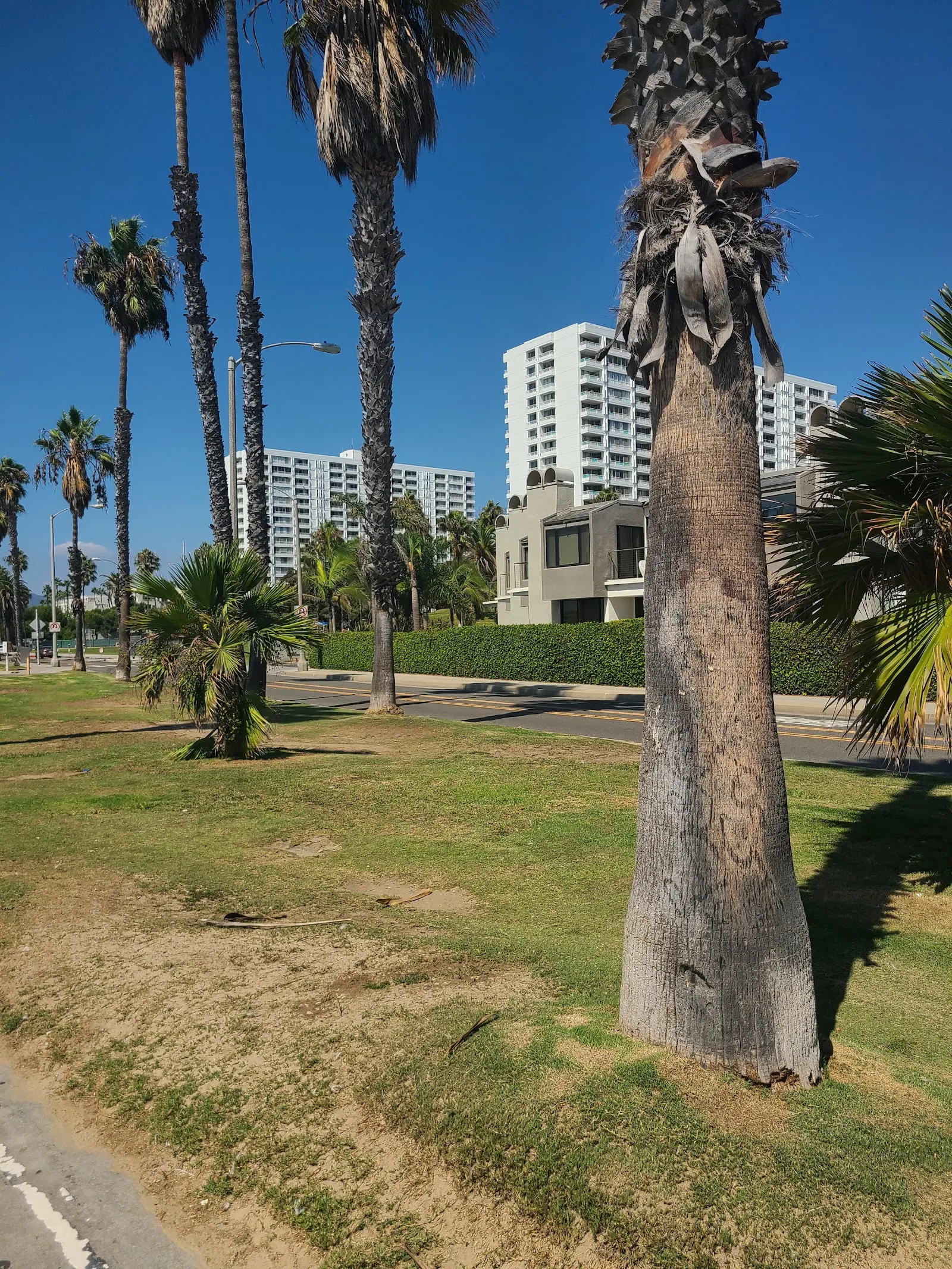
The trail is used by both cyclists and pedestrians, and some sections are busier than others. The stretch between Redondo Beach and Manhattan Beach can require a slower pace because walkers share the route. Near Santa Monica Pier, give pedestrians room and expect the ride to take longer through crowded areas.
Preguntas frecuentes
How long is the Marvin Braude Bike Trail?
The route runs about 22 miles each way between Will Rogers State Beach and Torrance Beach.
Is the trail flat?
It is mostly flat and paved, though some portions use streets or dedicated bike lanes rather than a separate path.
Where can I park near the trail?
Will Rogers Beach and Temescal Canyon are suggested parking spots near the route. Parking conditions vary by location.
Can you ride the trail through Marina del Rey?
The path passes through Marina del Rey and follows Washington Boulevard toward Venice Beach, with some street and bike-lane sections.