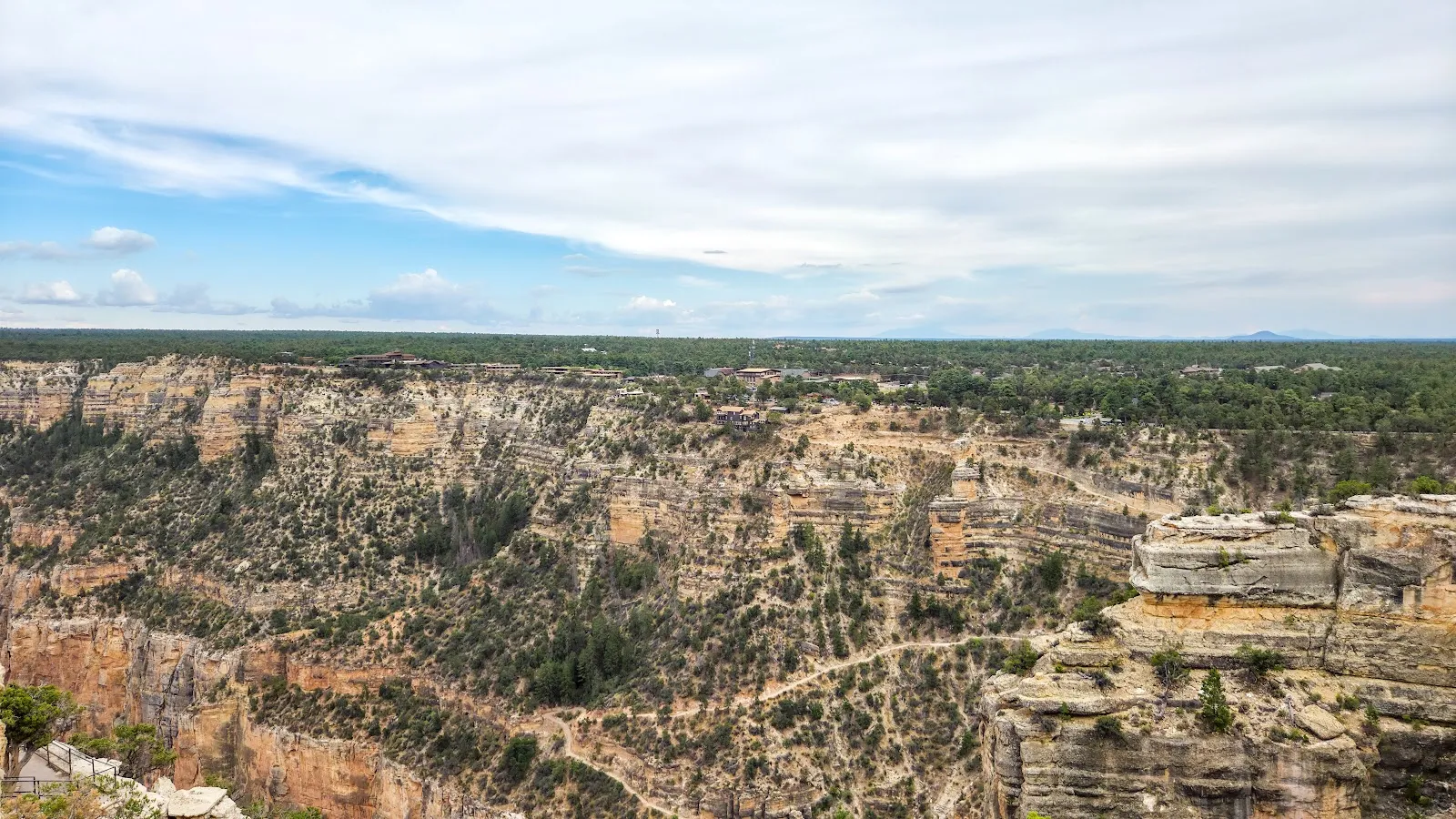
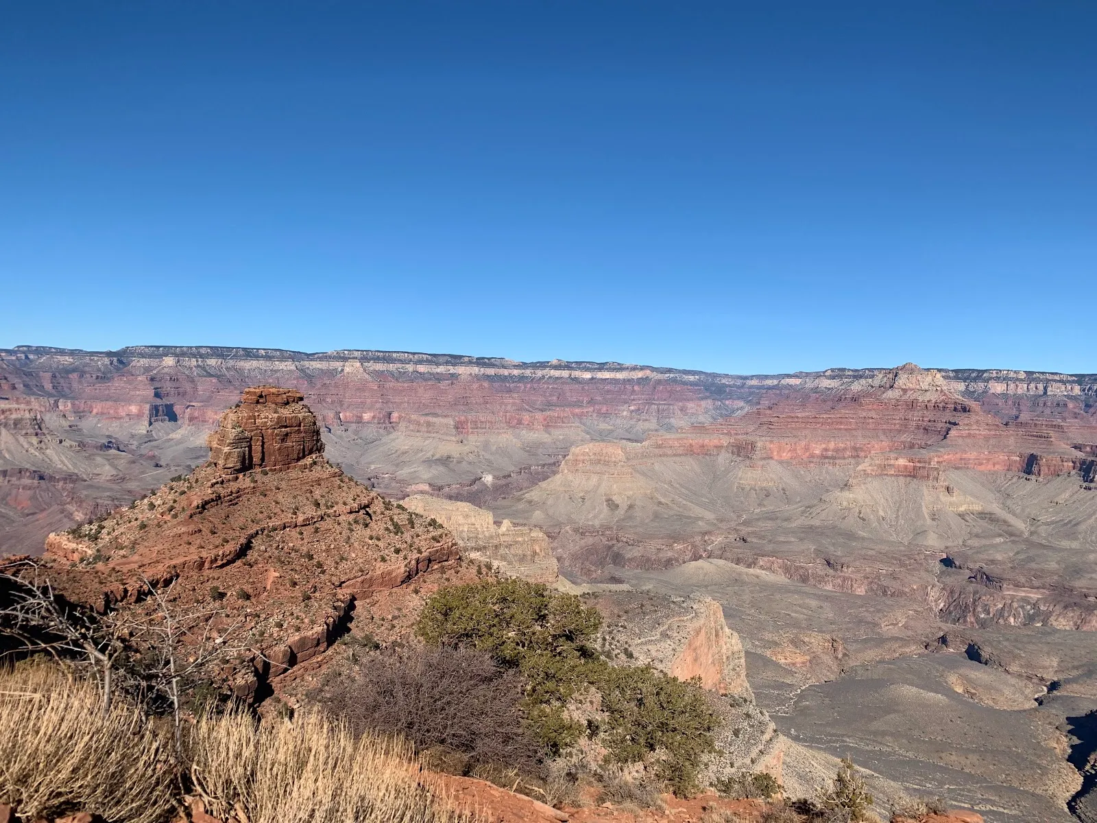
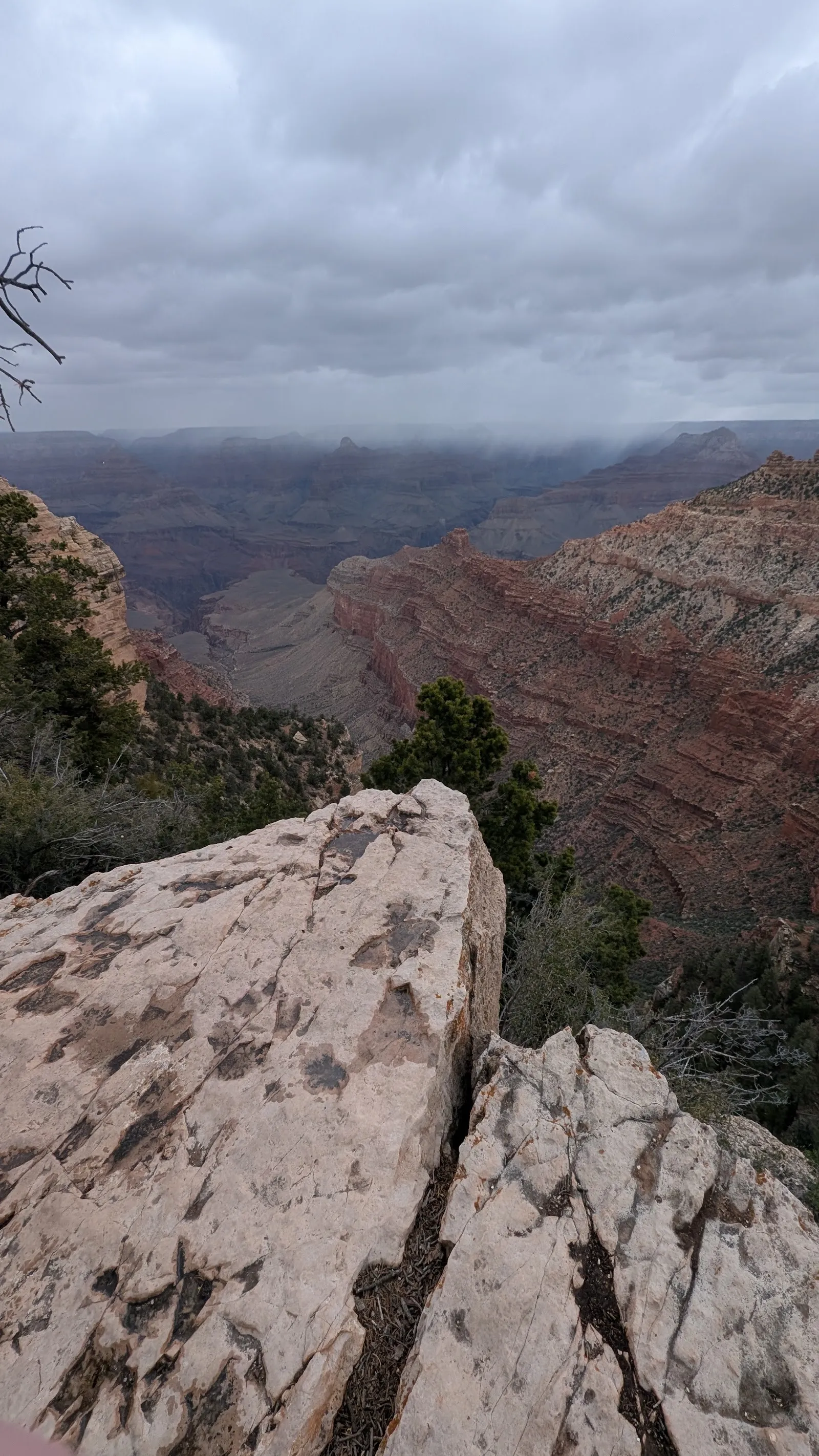
Bright Angel Point is a North Rim overlook in Grand Canyon National Park, reached by a short paved trail from the Grand Canyon Lodge and visitor center area. The walk follows a narrow ridge into the canyon, with views opening onto Bright Angel and Transept Canyons, the Deva, Brahma and Zoroaster temples, and Roaring Springs far below. It is a compact way to see the North Rim’s scale and changing terrain. The path is steep in places, so take your time and watch your footing.
The walk to the overlook
The trail begins near the Grand Canyon Lodge and visitor center, by a log shelter in the parking area. From there, the paved route follows the crest of a narrow ridge toward the point. The round trip is about half a mile, though descriptions of the route vary slightly. Plan for at least 30 minutes to walk and pause at the viewpoints.
The path is short, but the terrain deserves attention. There are steep sections, stairs and drop-offs on either side of parts of the ridge. The paving does not make it wheelchair accessible, and the incline can feel more demanding than the distance suggests. Walk at a steady pace and give yourself time to enjoy the views along the way.
What you can see from Bright Angel Point
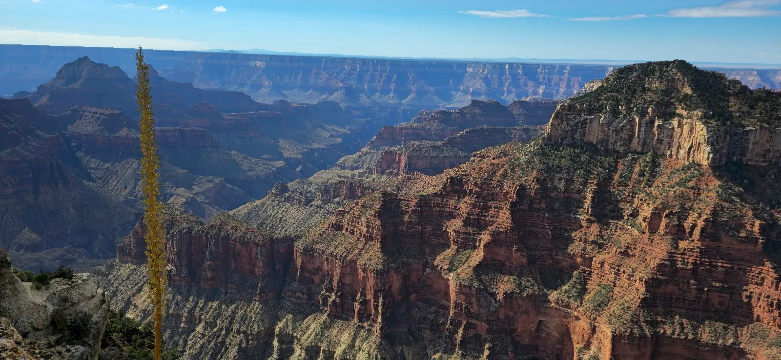
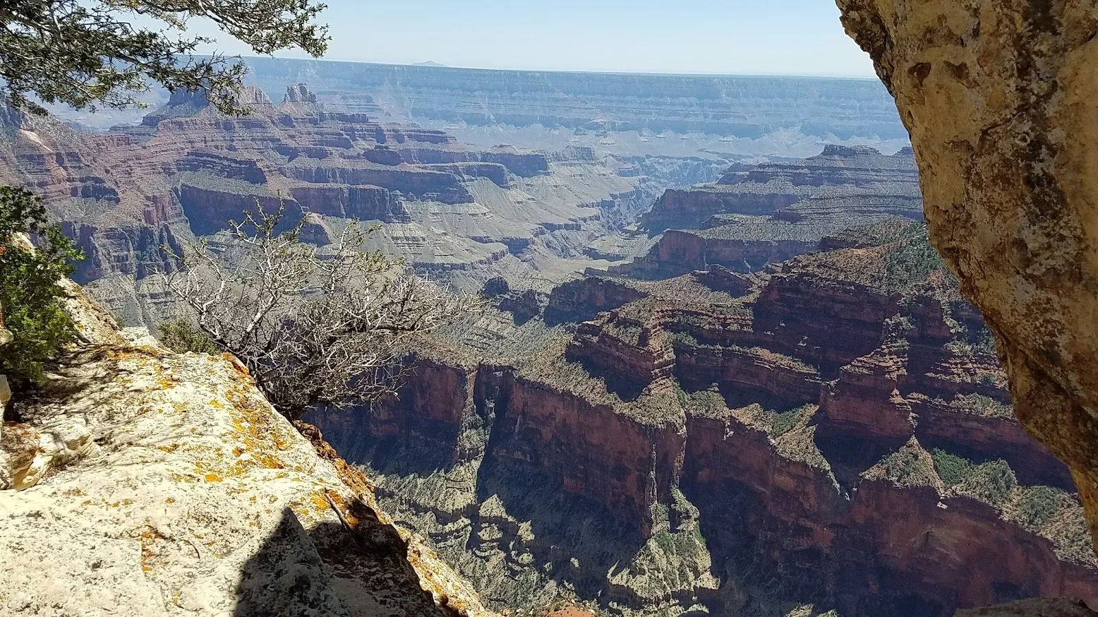
As the ridge projects into the canyon, the views widen across Bright Angel Canyon and Transept Canyon. Look for the distinctive formations known as Deva, Brahma and Zoroaster temples. Roaring Springs lies far below the rim and is a key source of drinking water for the Grand Canyon. On a clear view across the canyon, the South Rim is visible in the distance.
The landscape changes along the approach. The trail crosses the forested North Rim before reaching exposed rock and open canyon views. A self-guided nature trail pamphlet, available from a box along the route when stocked, can add context as you walk. Bring your attention back to the path in the narrow, steeper sections.
Planning more time on the North Rim
Bright Angel Point is close to the lodge patio, where outdoor chairs provide another place to look toward the canyon. The short trail is a natural first stop, but it need not be the only one. Point Imperial, near the park’s northern boundary, has views toward the Vermilion Cliffs and Marble Canyon. Cape Final Trail is a moderate 4.2-mile hike through ponderosa pine, meadows and canyon viewpoints.
Sunrise and sunset are popular times at the point. For evening light, arrive well before sunset and stay briefly afterward, when the canyon’s colors can continue to shift. If you are planning to camp in the area, arrange a site well ahead of your trip. Check current park conditions before setting out, as trail access can change; a closure notice for repairs was issued in 2024.
Preguntas frecuentes
How long is the Bright Angel Point Trail?
The paved walk is about half a mile round trip, though some descriptions give slightly different distances. Allow at least 30 minutes.
Is Bright Angel Point wheelchair accessible?
No. The paved path has steep sections and stairs, and it is not suitable for wheelchairs.
What can you see from Bright Angel Point?
The overlook looks into Bright Angel and Transept Canyons, with views of Roaring Springs and formations including Deva, Brahma and Zoroaster temples. The South Rim is visible in the distance.
When is a good time to visit Bright Angel Point?
Sunrise and sunset are popular times. For sunset, arrive at least 45 minutes before the published time and stay briefly afterward to see the changing light.