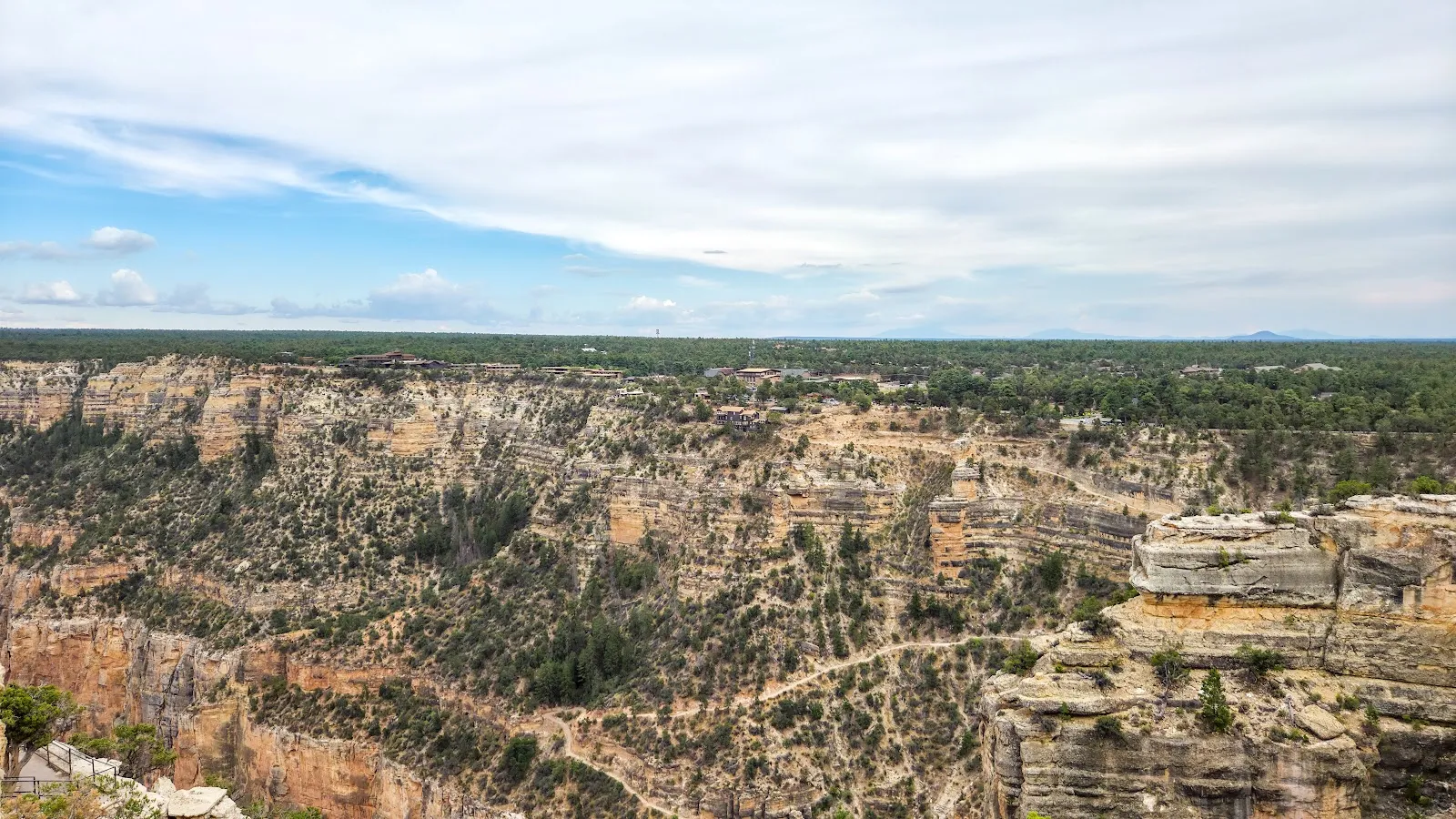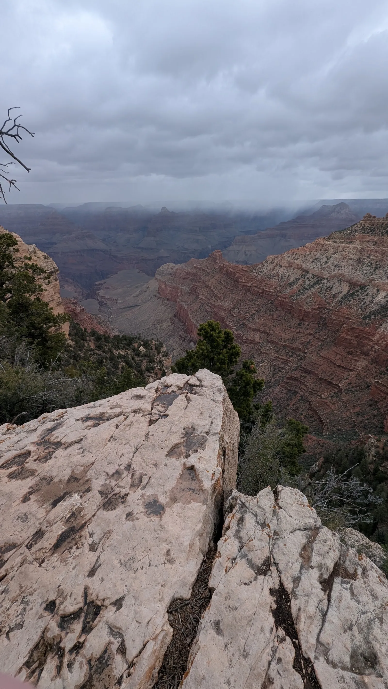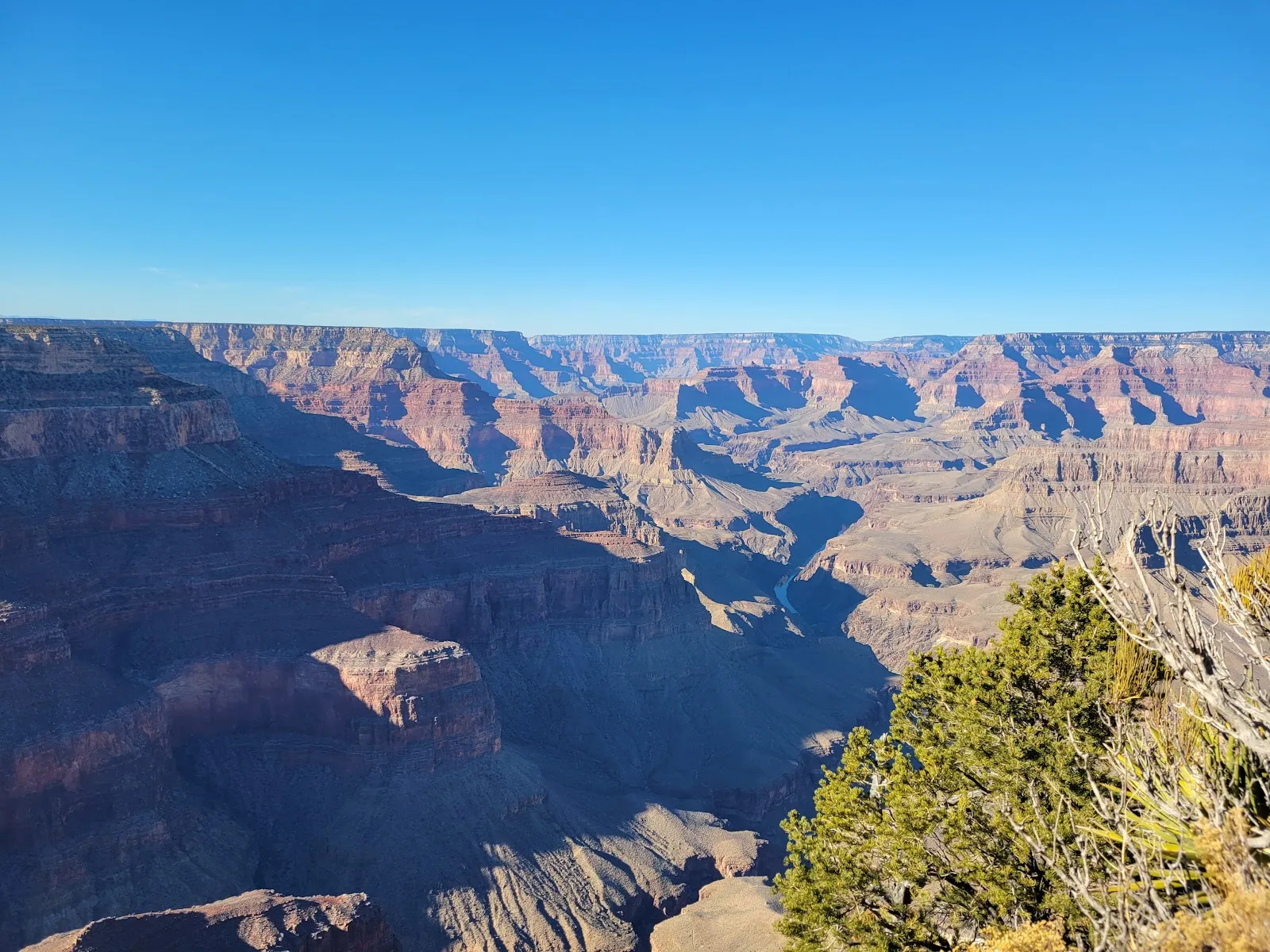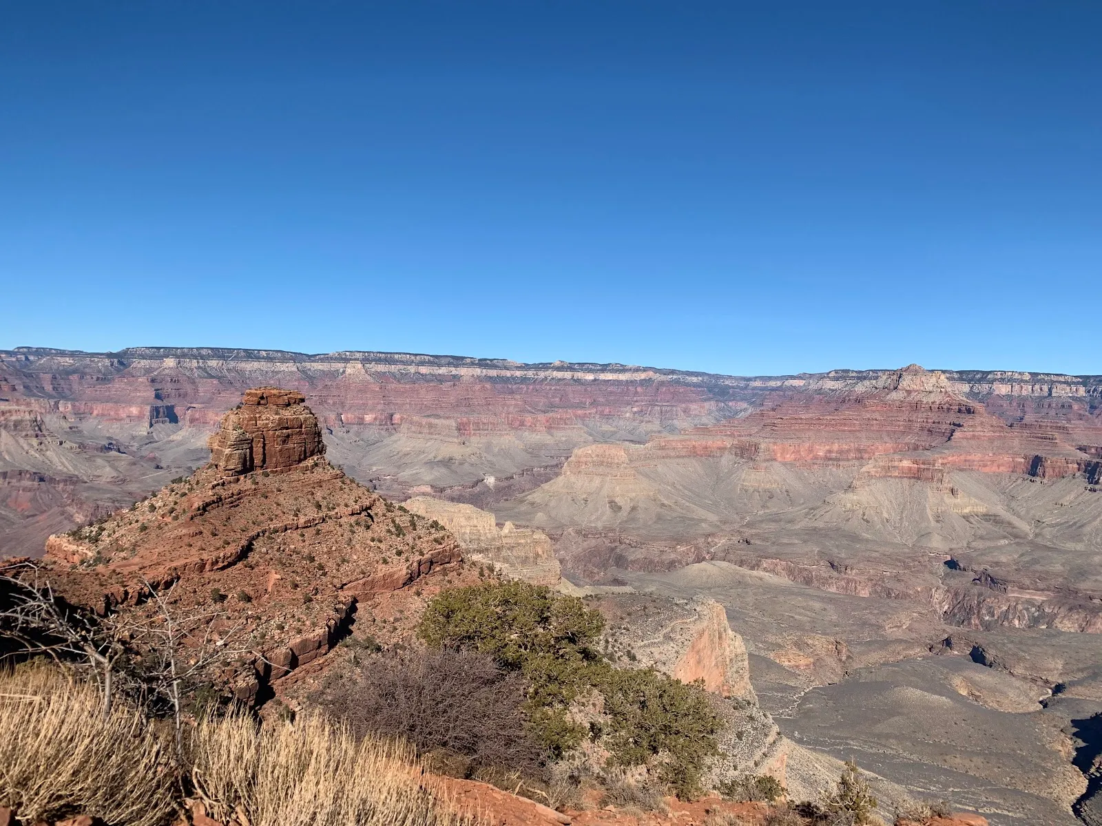
Cedar Ridge is a turnaround point on the South Kaibab Trail in Grand Canyon National Park, about an hour’s descent from the trailhead. The route brings you closer to O’Neill Butte and gives you a rewarding look into the canyon without continuing as far as Skeleton Point. You can also stop here to rest and, at times, see mules resting nearby. The descent and climb back are a substantial hike, so bring enough water and allow time for breaks on the way up.
Hiking to Cedar Ridge
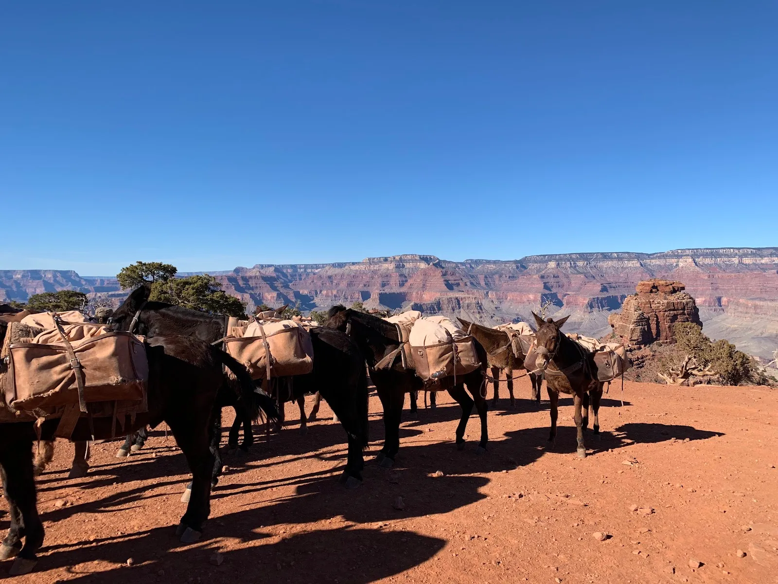
Cedar Ridge lies about 1.5 miles along the South Kaibab Trail, beyond Ooh Aah Point and before Skeleton Point. The route gives hikers a choice of turnaround distances: Ooh Aah Point is 0.75 miles in, Cedar Ridge is 1.5 miles in, Skeleton Point is 3 miles in, and the Tipoff is 4.5 miles in.
The descent from the South Kaibab Trailhead takes about an hour. Allow around 1.5 hours for the climb back to Canyon Village, and take breaks as needed. There is no water refill station along this trail, so carry enough for the full hike.
Views from the ridge
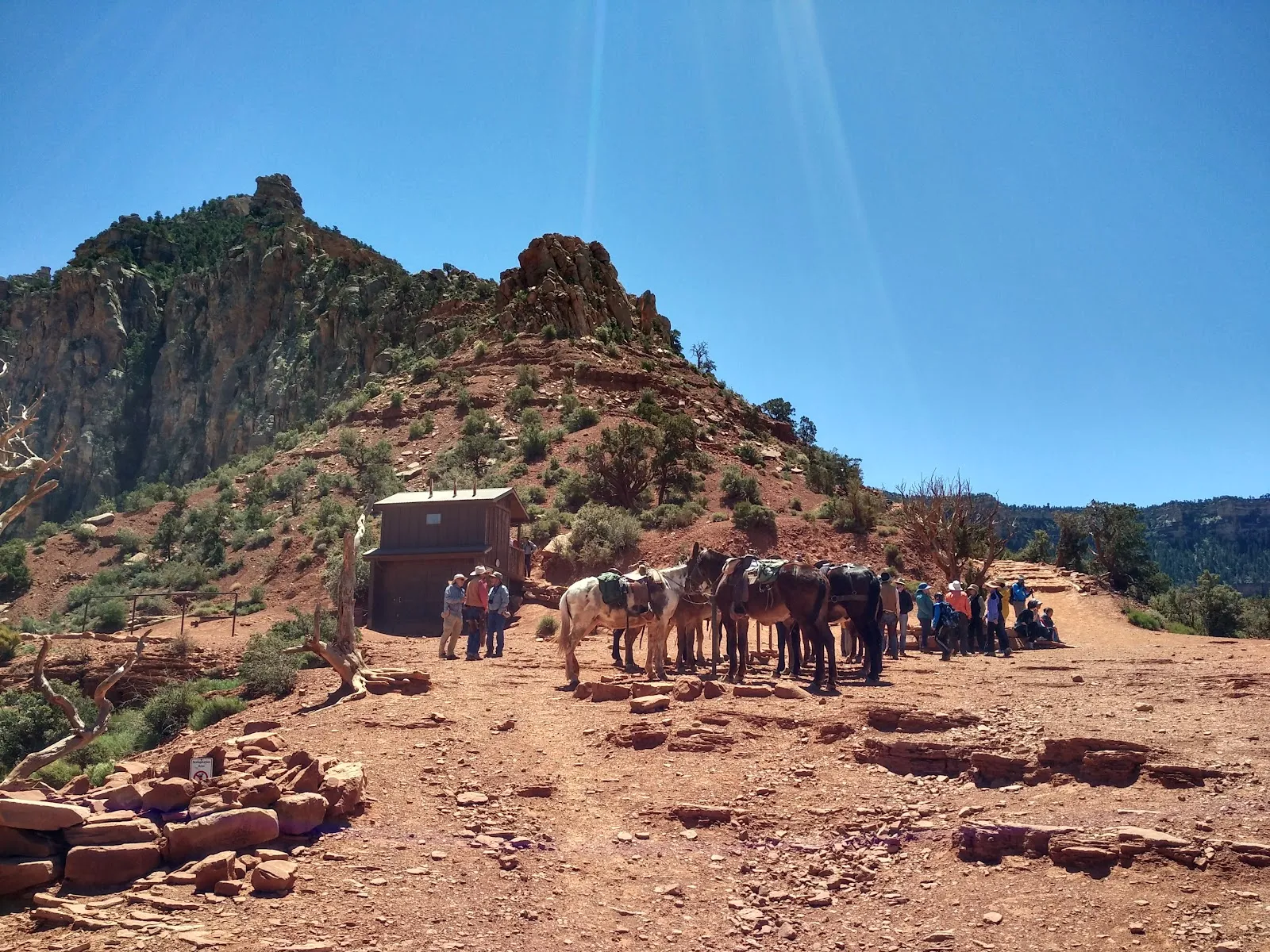
From Cedar Ridge, you get a closer view of O’Neill Butte and a different perspective from the one at Ooh Aah Point. The ridge is a useful place to pause before turning back, and mules may be resting in the area. If you have limited time or do not want to continue to Skeleton Point, Cedar Ridge gives you an earlier endpoint on the trail.
Preguntas frecuentes
How long does it take to hike to Cedar Ridge?
The descent from the South Kaibab Trailhead takes about an hour. Allow about 1.5 hours for the climb back.
How far is Cedar Ridge on the South Kaibab Trail?
Cedar Ridge is 1.5 miles along the trail. Ooh Aah Point is 0.75 miles in, while Skeleton Point is 3 miles in.
Is there water at Cedar Ridge?
There is no water refill station on the trail, so bring enough water for the hike.