The Lachine Canal is a waterside route through southwest Montréal, linking the Old Port with Lake Saint-Louis. Its paths pass green spaces, bridges and former industrial districts, making it easy to trade downtown streets for a walk, run or bike ride. The canal opened in 1825 with five locks, allowing ships to bypass Lachine Falls; today, you can also see it from the water on a boat or pedalo near Atwater Market. Bring a picnic, or break your outing at the market or Saint-Ambroise Terrace.
A canal built to bypass the falls
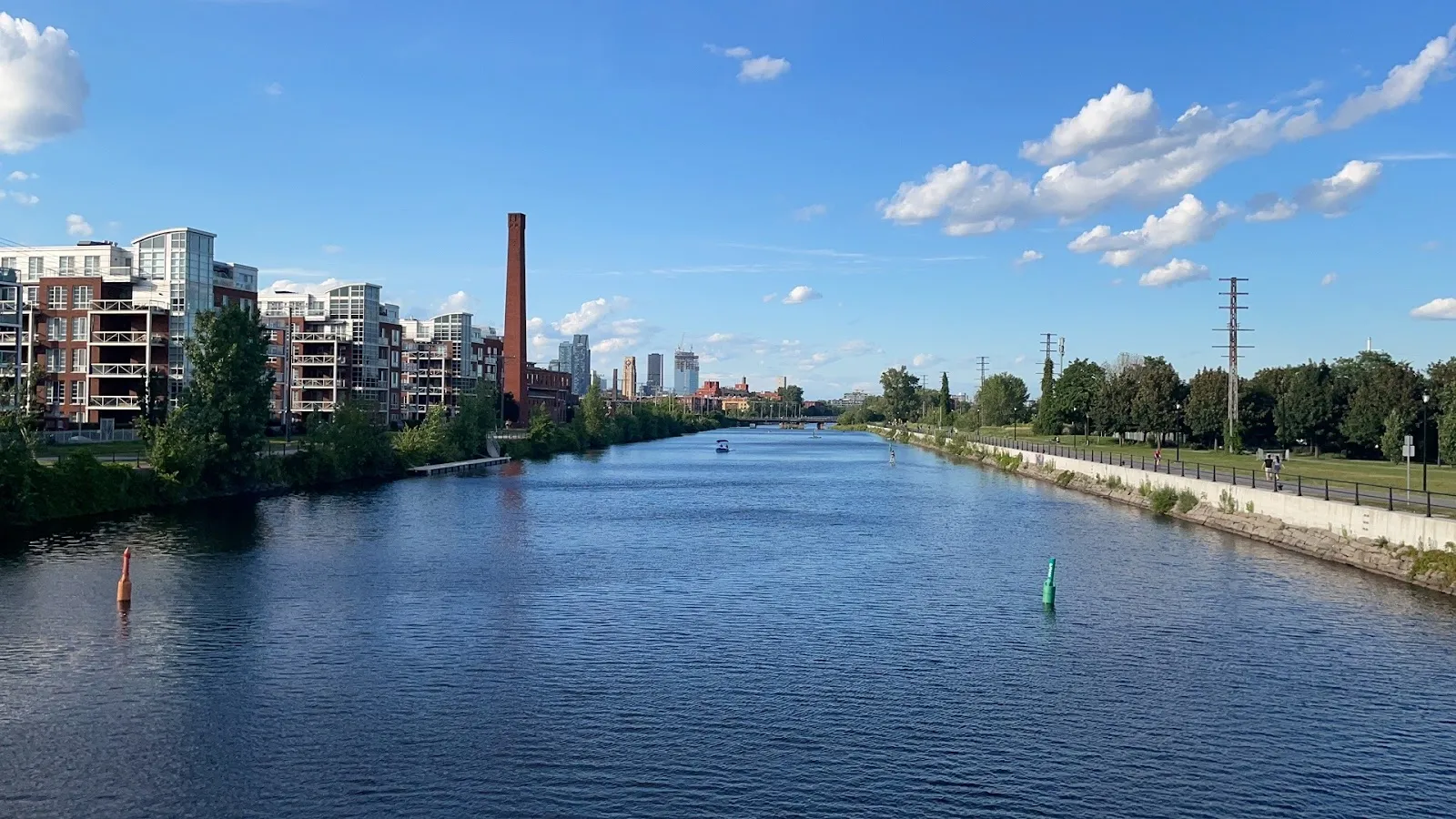
The Lachine Canal opened in 1825 with five locks. It gave ships travelling between the upper St. Lawrence River and the sea a route around Lachine Falls. Before the canal was built, cargo was unloaded at the village of Lachine and transferred to another ship beyond the falls.
Factories later lined the canal banks, and the area became an industrial centre. By 1950, it had begun to decline, partly as rail transport grew. Today, the waterway and its paths bring together reminders of that industrial past and green space within the city.
Choose your route along the water
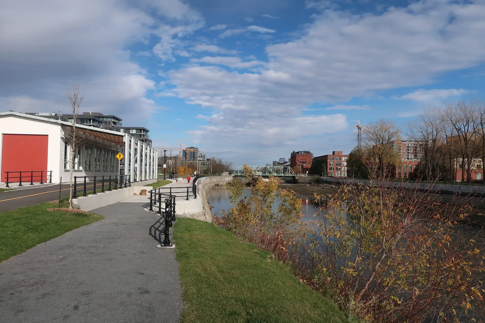
The canal runs through Montréal’s southwest, between the Old Port and Lake Saint-Louis. Its path takes you through distinct neighbourhoods, including Griffintown, Little Burgundy and Saint-Henri, before reaching more open stretches farther west. The route is mostly flat and works for walking, running, cycling and inline skating.
You can start at the Lachine information centre or Atwater Market. For a shorter outing, choose one section and turn back when you are ready. A full-length trip is roughly 14.5 kilometres, so allow more time if you plan to stop along the way.
Picnics, markets and time on the water
Green spaces, benches and picnic tables make it easy to pause beside the canal. Pack food for an outdoor break, or stop at Atwater Market near the route. Saint-Ambroise Terrace is another suggested place to pause for lunch or a drink.
Near Atwater Market, boat and pedalo rentals add a way to explore from the water. Options mentioned include swan boats and electric-powered motorboats. If you are using a bike-share service, check its current charges before setting out.
Plan for a comfortable visit
The route is popular with cyclists, runners and walkers, particularly on sunny summer days. A calm spring or summer morning or a weekday is a good choice for a quieter outing. Bring water and plan restroom stops: the northern side of the canal has no reported fountains or bathrooms, and Atwater Market can be a useful place to pause.
For a longer trip, allow time for breaks as well as the ride or walk. The canal’s green spaces and waterside paths make it easy to stop for a picnic or simply watch activity along the route.
Preguntas frecuentes
How long is the Lachine Canal route?
The full route is roughly 14.5 kilometres, linking the Old Port with Lake Saint-Louis.
How long should I spend at the Lachine Canal?
Allow 1 to 2 hours for a visit. A full-length outing with stops takes longer.
Can you rent boats at the Lachine Canal?
Boat and pedalo rentals are available near Atwater Market. Options mentioned include swan boats and electric-powered motorboats.
Are there bathrooms or water fountains along the canal?
The northern side has no reported fountains or bathrooms. Atwater Market can be a useful stop.