Adelaide Park Lands form a continuous belt of green space around central Adelaide, with parks for walking, picnics, sport and play. Follow the blue-circle markers on a walking loop of a little over 12 miles (19.5 km), or explore it in sections and use free tram services to reach different areas. Along the River Torrens, look for pelicans and riverside views; the wider parklands also include Adelaide Himeji Garden and Adelaide Oval. Sunset is a good time to pause by the river.
A green belt around central Adelaide
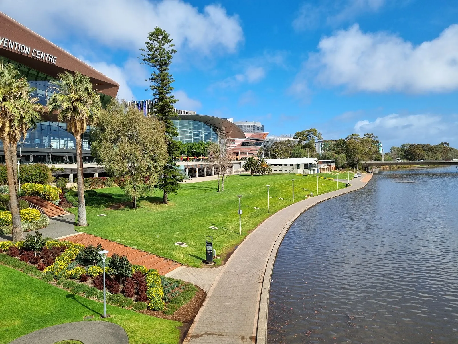
The Park Lands form a continuous ring of green space around central Adelaide. Their individual parks have distinct characters, from more formal gardens to open, pastoral areas and places designed for sport, play and entertainment. You can make a short stop in one section or link several together for a longer day outdoors.
The parklands are part of the city plan associated with Colonel William Light, who envisioned Adelaide’s layout around 180 years ago. The broad green belt remains a defining part of that design and was added to Australia’s National Heritage List in 2008.
Walking the loop
A walking route marked with blue circles on the ground traces a loop of just over 12 miles (19.5 km). The markers may disappear for stretches, so use a map or GPS alongside them. The route can be divided into three sections, with free tram services providing access to different parts. Add stops along the way rather than treating the walk as one uninterrupted circuit.
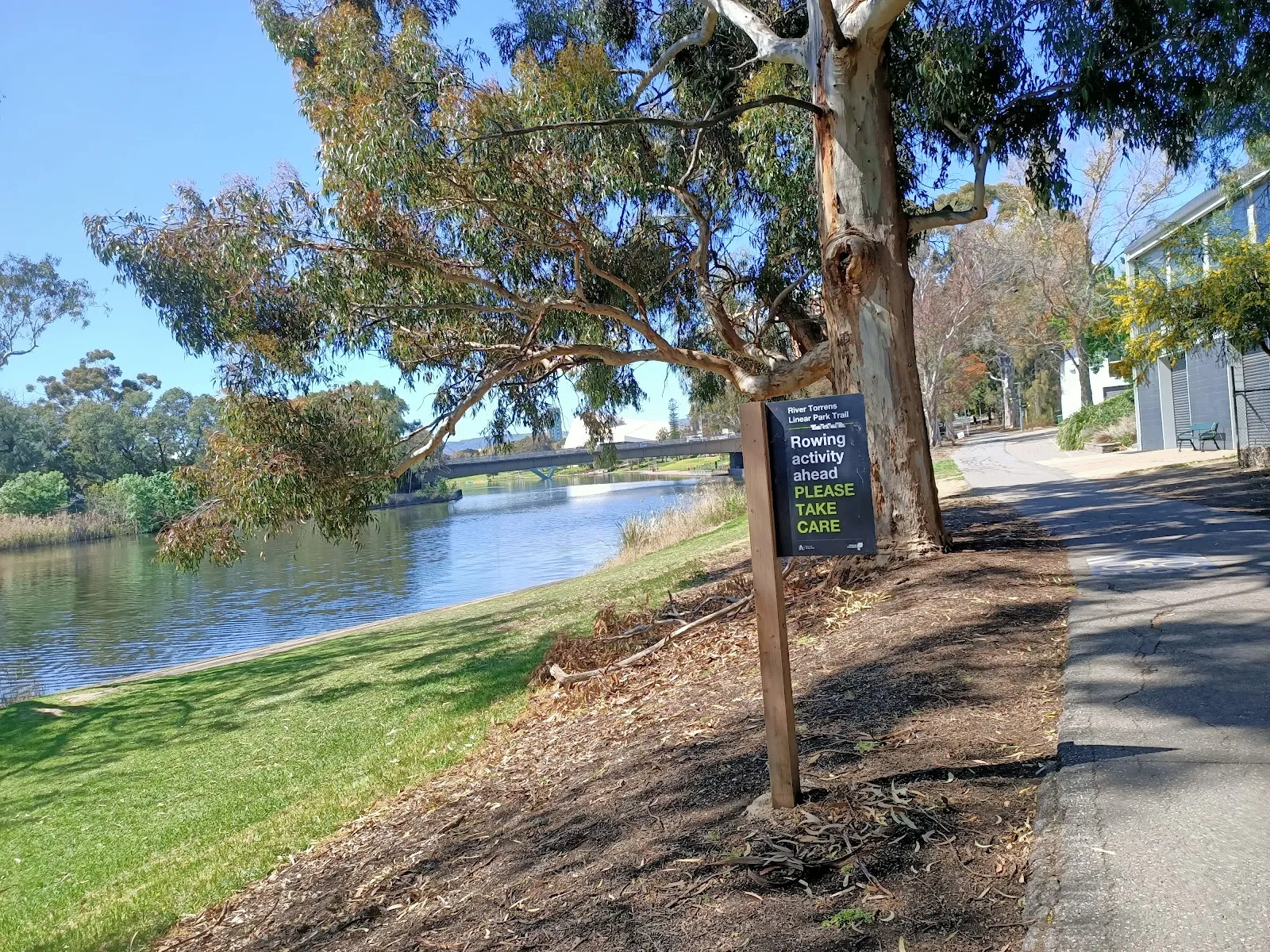
The trails pass through varied parkland, where you can walk among local flora and fauna. For another way to follow the water, the Linear Trail runs along the River Torrens, also known as Karrawirra Parri. Riverside paths and open spaces make it easy to combine a walk with a picnic or a break to watch for wildlife.
Gardens, sport and family stops
Adelaide Himeji Garden is a traditional-style Japanese garden and a gift from Adelaide’s sister city, Himeji, in 1982. It provides a quieter garden visit within the wider parklands. Guided tours are available in some garden areas; the Adelaide Park Lands Association is one organization to check for tours uncovering lesser-known spots.
Other destinations in the parklands include Adelaide Oval on Tarntanya Wama, a venue for international sporting and cultural events. Accessible play spaces give children room for activities, while BMX tracks cater to riders looking for a more active stop. The range of settings means you can shape the visit around a garden, a walk, sport or time outdoors with children.
Making a visit work
With the loop divided into sections, you do not need to cover the whole route in one outing. Choose a stretch that fits your plans, check its position on a map, and use the tram where it helps you reach another area. You can also combine the walk with stops at places along the way.
The Torrens riverside is a natural place to pause for a picnic or watch the light change toward evening. Pelicans are among the local wildlife you may encounter. Public toilets and accessible entrances are listed among the parkland amenities, and dogs are allowed.
Preguntas frecuentes
How long is the Adelaide Park Lands walking loop?
The marked loop is a little over 12 miles (19.5 km). It can be split into three sections or explored over several days.
Are there markers on the walking route?
Blue circles on the ground mark the route, but they can be intermittent. Use a map or GPS as a backup.
Can you use public transport to reach different sections?
Free sections of Adelaide tram can help you access different parts of the parklands.
What can you see in the Adelaide Park Lands?
Stops include Adelaide Himeji Garden, Adelaide Oval, play spaces and BMX tracks. The Torrens riverside is a place to picnic and look for pelicans.