Pianifica un viaggio
Lingua: Italiano
Pianificatore di viaggiPianifica il tuo viaggio su una mappa

Le migliori destinazioni

EnglishDeutschFrançaisEspañolPortuguêsPortuguês (BR)Italiano
Avviso di viaggio · ThailandiaAlcuni governi sconsigliano di viaggiare in alcune zone di Thailandia.Gli avvisi riguardano solo queste aree: Fascia di 50 km lungo il confine con la Cambogia, Narathiwat, Pattani, Songkhla meridionale (distretti di Chana, Na Thawi, Thepha e Saba Yoi), Regione di confine Thailandia–Cambogia (intera lunghezza), Yala, Fascia di 20 km lungo il confine con la Cambogia.Le indicazioni dipendono dal tuo passaporto. Leggi quelle del tuo governo prima di prenotare.Indicazioni ufficiali
Aree con avvisi
  • Fascia di 50 km lungo il confine con la Cambogia · evitare ogni viaggio · Canada, Francia, Nuova Zelanda
  • Narathiwat · evitare ogni viaggio · Canada, Germania, Spagna, Francia, Irlanda, Italia, Nuova Zelanda, Regno Unito
  • Pattani · evitare ogni viaggio · Canada, Germania, Spagna, Francia, Irlanda, Italia, Nuova Zelanda, Regno Unito
  • Songkhla meridionale (distretti di Chana, Na Thawi, Thepha e Saba Yoi) · evitare ogni viaggio · Canada, Germania, Francia, Irlanda, Italia, Nuova Zelanda, Regno Unito
  • Regione di confine Thailandia–Cambogia (intera lunghezza) · evitare ogni viaggio · Spagna, Irlanda, Italia
  • Yala · evitare ogni viaggio · Canada, Germania, Spagna, Francia, Irlanda, Italia, Nuova Zelanda, Regno Unito
  • Fascia di 20 km lungo il confine con la Cambogia · evitare i viaggi non essenziali · Germania, Regno Unito

Segnalata anche da un solo governo: Zone di confine della provincia di Buriram (Spagna), Zone di confine della provincia di Sisaket (Spagna), Zone di confine della provincia di Surin (Spagna), Zone di confine della provincia di Ubon Ratchathani (Spagna), A est delle strade 408 e 4113, compresa Sakom (Canada), Intero confine con la Birmania (eccetto Mae Sot) (Francia), Città di Hat Yai (Canada), Aree vicine al confine tra Thailandia e Malesia (Irlanda), Linea ferroviaria Hat Yai–Padang Besar (Regno Unito), Confine con la Birmania nelle province di Mae Hong Son e Tak (Italia), Confine con la Birmania nelle province di Tak e Chiang Mai (Spagna), Provincia di Phatthalung (Francia), Zona del tempio di Preah Vihear (Sisaket) (Italia), Provincia di Satun (Francia)

GovernoConsigliAggiornatoLeggi le indicazioni
Regno Unito (FCDO)No advice against the whole country (regional advisories)–Leggi le indicazioni
Stati Uniti (Dipartimento di Stato)Exercise Normal Precautions7 lug 2026Leggi le indicazioni
Canada (Affari globali)Exercise a high degree of caution (regional advisories)–Leggi le indicazioni
Germania (Auswärtiges Amt)No advice against the whole country; partial warnings for border and southern areas (regional advisories)26 ott 2026Leggi le indicazioni
Nuova Zelanda (SafeTravel)Exercise increased caution (regional advisories)–Leggi le indicazioni
Irlanda (Dipartimento per gli Affari esteri)Normal Precautions (regional advisories)–Leggi le indicazioni
Francia (Ministero per l'Europa e gli Affari esteri)Increased vigilance across the country (regional advisories)–Leggi le indicazioni

Verificato ogni giorno dalle indicazioni pubblicate dai governi; ultima verifica 2 nov 2026.RoamLedger riassume le indicazioni ufficiali; non è un consiglio di alcun governo.

Pai Canyon
Luogo simbolo

Pai Canyon

Pai Canyon, also called Kong Lan, is a formation of eroded rock about 8 km from Pai town on the road towards Chiang Mai.

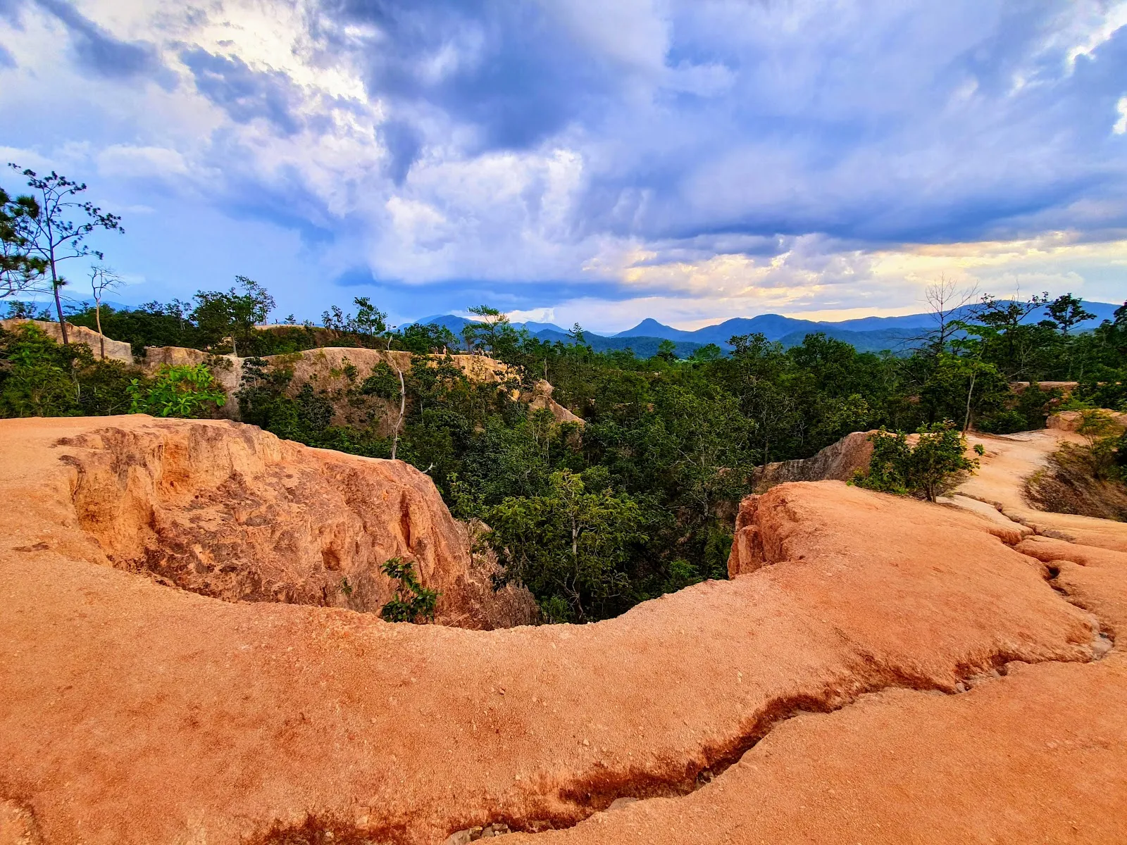
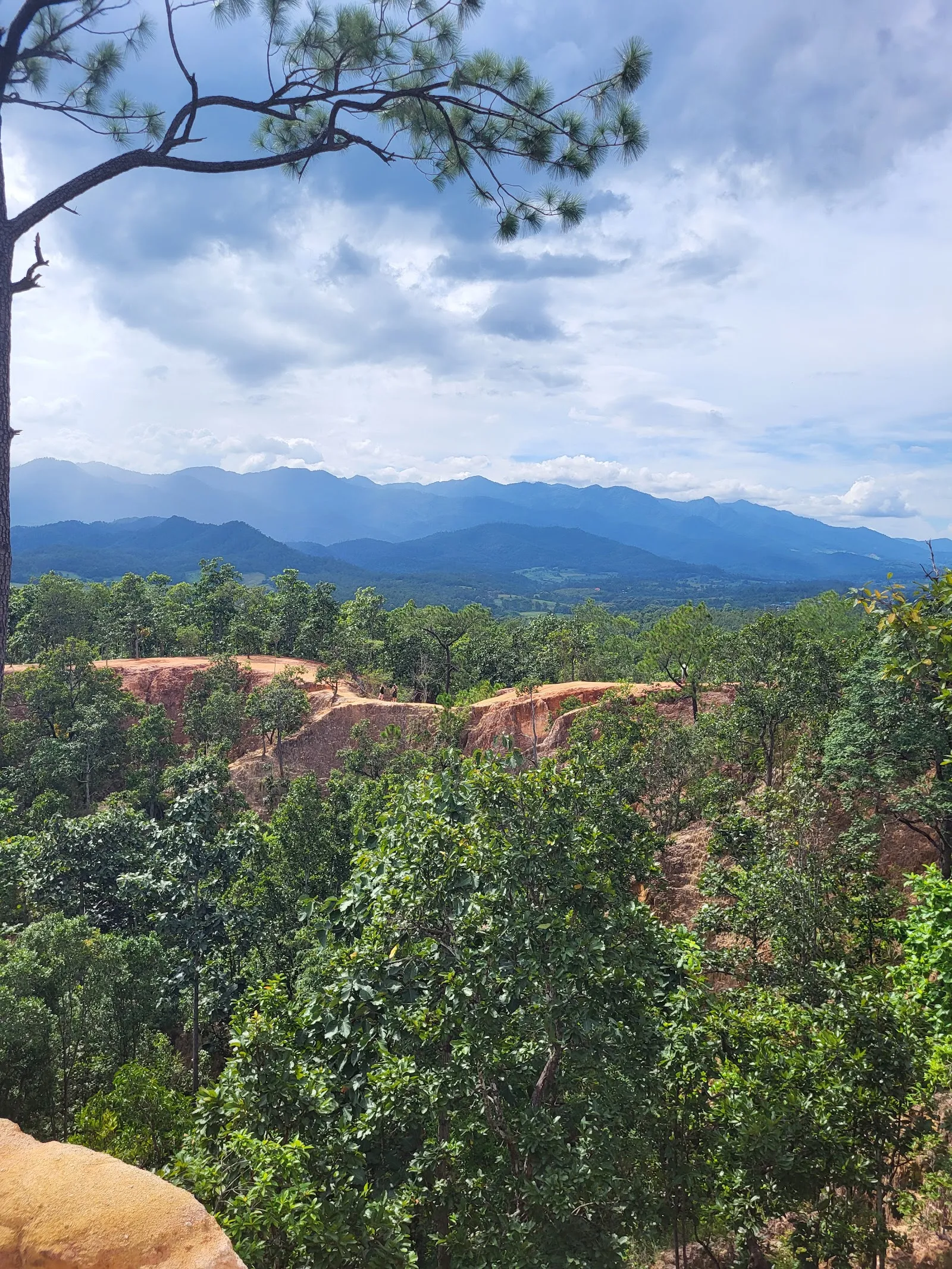
Pai Canyon, also called Kong Lan, is a formation of eroded rock about 8 km from Pai town on the road towards Chiang Mai. Wind and rain have cut narrow ledges and walkways into the rock, and a loop trail of about 3 km runs along the ridges and through open forest to two lookouts. Go for the walk, the views over the valley and mountains, and the warm light on the rock at sunset. Wear shoes with good grip and bring water.

Getting to Pai Canyon
Pai Canyon
Pai Canyon

Pai Canyon is about 8 km from Pai town, along the road towards Chiang Mai. The entrance has a parking lot, and the entrance and parking are listed as wheelchair accessible.

From the parking area, the path to the canyon is about 200 metres long and climbs steeply. The surface is concrete, so it is firm underfoot in dry weather.

The Pai Memorial Bridge, a World War II landmark, is close by. Some visitors stop there on the way back to Chiang Mai.

How the canyon formed
Pai Canyon
Pai Canyon

The canyon is the result of erosion that has continued for decades. Water and wind wore away the rock, and the harder slabs and ledges that survived became narrow walkways on the ridges of tall rock walls. These walls run out into the forested valley below.

The Thai name Kong Lan is the one most often used locally. The site is also known as Kong Moo.

The ground is dusty, and the colours of the rock change with the light through the day.

The loop trail

The loop runs about 3 km and goes around the canyon. Outside the most visited section, the path crosses open forest before it returns to the rock. It reaches both lookouts, and their heights differ, so each gives a different view.

The start of the trail is the narrowest part. It is single file, and some passages are only about two or three feet wide with a steep drop beside them. Some gaps are tight, so people who find narrow passages hard may prefer to turn back at the lookouts.

Bring water and sun protection. There is little shade on the exposed sections.

Visiting at sunset

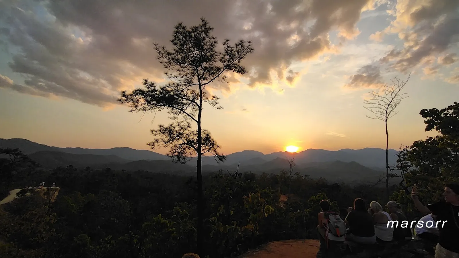
Sunset is the busiest time. Many visitors arrive in the late afternoon, and young backpackers from the town often gather on the ridges. The canyon is then crowded, and the space for each viewpoint is limited.

Some visitors have been loud, pushed for photographs or ignored safety rules. Keep your voice down, wait your turn for the best spot and step back from the edge when others are passing.

On-site facilities include a restroom, a restaurant and a small cafe inside the grounds, which is a good place to rest after the walk.

FAQ

How far is Pai Canyon from Pai?

Pai Canyon is about 8 km from Pai town, along the road towards Chiang Mai.

How long do you need at Pai Canyon?

A typical visit takes 1 to 2 hours, including the loop trail of about 3 km and time at the lookouts.

Is Pai Canyon wheelchair accessible?

The entrance and parking lot are listed as wheelchair accessible. The ridge trails are narrow and uneven, and some edges have no railings.

When is the best time to visit Pai Canyon?

Late afternoon, arriving before sunset, gives the warmest light. Morning visits are quieter.

Do I need special shoes for Pai Canyon?

Closed shoes with good grip are advised, since some ridges are narrow and uneven.
Altre attrazioni imperdibili a Pai

Esplora tutto