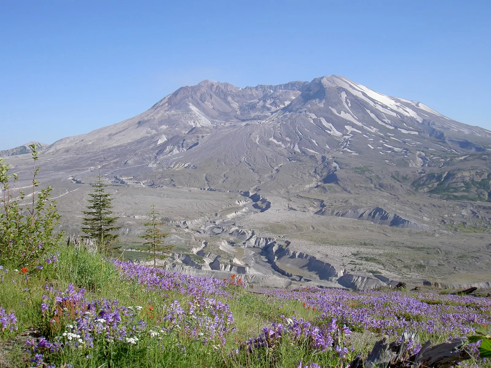
Mount Rainier National Park surrounds a 14,410-foot volcano in west-central Washington, about 35 miles southeast of Tacoma. The mountain is the tallest volcano in the Cascade Range and has 25 named glaciers. The main areas are Paradise and Sunrise, with Longmire and Carbon River also worth a stop. Hikers come for alpine meadows, waterfalls and marmots that stay close to the trails, and the park road has many pull-offs with views of the mountain. Weather can change quickly, and Paradise gets crowded on summer days.
The park's history
Mount Rainier National Park was established in 1899 to protect the volcano and the land around it. It covers about 235,000 acres. President William McKinley made it the fifth national park in the United States.
From the late 1920s, the park followed a master plan that was the first and most complete national park master plan developed and carried out by the National Park Service. The park was treated as one connected whole rather than a set of separate sites, and that design can still be seen in its buildings, roads, bridges, trails and developed areas. The park was named a National Historic Landmark District in 1997 because no other park has kept as much of an intact example of early park planning.
In 1929 work began on the Sunrise Road and Sunrise Lodge to ease the visitor pressure on Paradise. The road and visitor complex opened in 1931. In the 1930s, the Civilian Conservation Corps built the trail network that starts at Sunrise, including the Burroughs Mountain Trail.
The main areas of the park
The park has five main areas. Sunrise lies on the northeast side and is known for mountain views and high-elevation hiking. Paradise is on the south slope and is the most visited area. Longmire and Carbon River lie to the south and northwest.
Sunrise is the most popular area in summer, with Paradise a close second. Paradise is the only area open all year, although it closes during large snowstorms. Ohanapecosh sits between Paradise and Sunrise and makes a useful stop on a multi-day visit.
The Longmire Museum is inside the park. Its exhibits cover local plants and animals, the Indigenous peoples who have lived on this land for centuries, and the growth of tourism since the park was founded. Visitors who want background before hiking can start here.
Trails and what you will see
The Skyline Trail is the most popular trail in the park. It climbs about 1,700 feet and starts at around 5,400 feet, so the altitude can be felt even on a moderate walk. It offers wide views in every direction.
The Northern Loop Trail descends 1,400 feet over about two miles, from Windy Gap down to the Lake James campsite. Along the way it passes forests, valleys, meadows, rivers, mountain lakes and a rock arch.
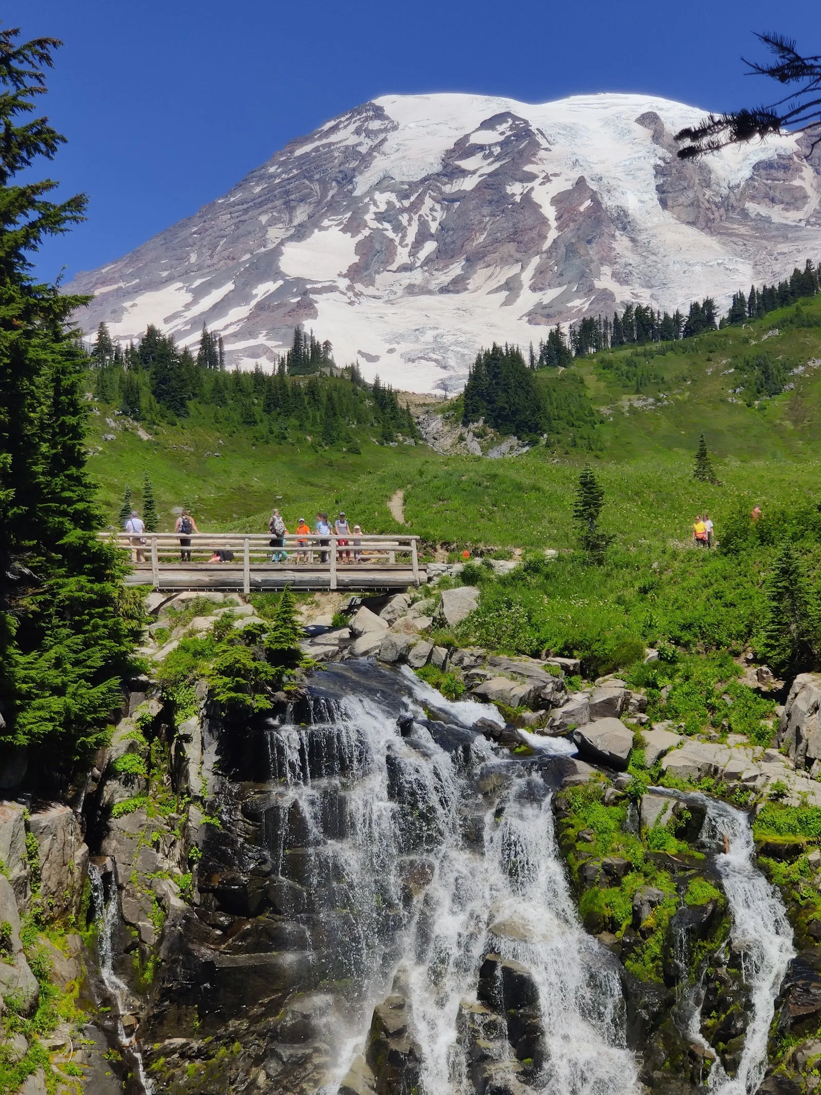
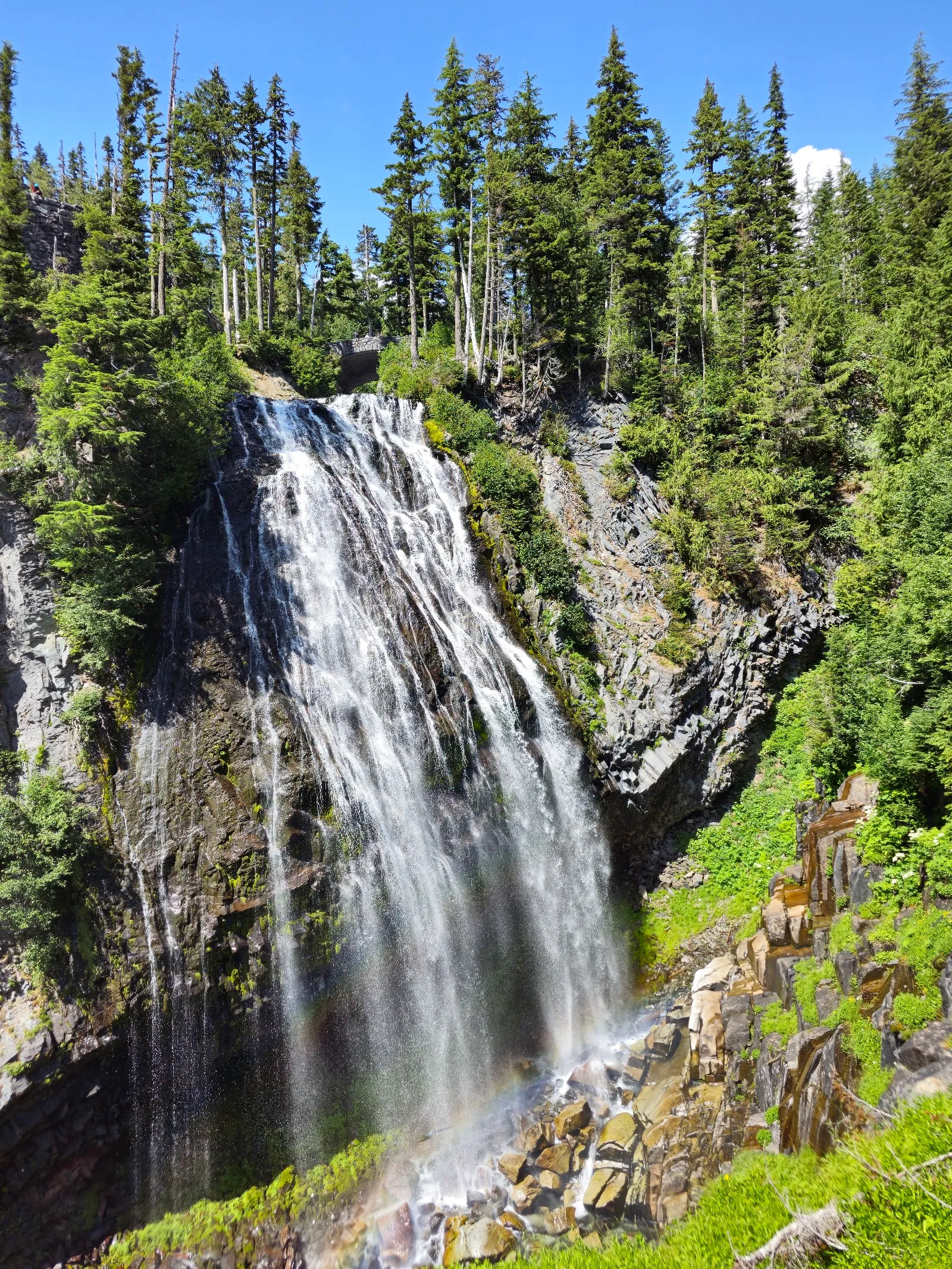
In July and early August, wildflowers fill the meadows. Lupine, paintbrush, avalanche lilies and beargrass are common, and a wildflower guide helps with identification. Marmots live in the subalpine meadows and alpine areas above about 4,500 feet. They hibernate for half of the year and are often unbothered by people walking nearby. Mountain goats are seen on some of the higher routes, and the park has waterfalls along its rivers and creeks.
Seasons and snow
Summer is the busiest season, with wildflowers, open trails and the most visitors. The park is most crowded on weekends, so plan for weekdays if you can.
Spring brings snowmelt, which feeds powerful waterfalls and fast rivers. Many higher trails may still be covered in snow, and the alpine meadows stay cool.
Winter is the quietest season. Only the Nisqually Entrance in the southwest corner is open to vehicles, and the road runs as far as Paradise. Sunrise, Stevens Canyon and the Chinook and Cayuse passes are closed by snow. A ranger-guided snowshoe walk leaves from Paradise on Saturday mornings. The rangers suit all ability levels, and children aged 8 and older can join. Fall colors in the ground cover usually appear in early October.
Planning the visit
Driving Paradise Road and Stevens Canyon Road through the park carries a fee, so budget for the park entry costs. Downloading maps and any tour audio before you arrive is useful, since signal is weak in many parts of the park.
To see Paradise and Sunrise with long hikes, waterfalls and a sunset over a lake, three days is a realistic plan. The town of Ashford, just outside the park, has dining, espresso, gift shops, gas and other services, which makes it a practical base. Families with children can join the junior ranger program and collect badges.
The Paradise Inn is a historic lodge inside the park, which is a good option for a night among the trails.
FAQ
How long do you need at Mount Rainier?
A full day covers one area of the park. Three days allow time for Paradise and Sunrise, a short stop at Ohanapecosh and longer hikes.
Do I need a reservation?
In the 2025 season, reservations were required for the Sunrise Corridor on peak dates from 7am to 5pm, at $2 per vehicle. Check the park website for the current season.
When do the wildflowers bloom?
They are usually at their best in early August. They can bloom earlier if there has been little snow to keep the ground covered.
Is the park open in winter?
Only the Nisqually Entrance is open to vehicles, and the road goes as far as Paradise. All drivers must carry snow chains or equivalent traction devices.
Is there a junior ranger program?
Yes. Children can collect junior ranger badges, and the program appeals to kids who enjoy earning them.