
Caldera de Taburiente National Park covers a vast volcanic landscape on La Palma, in the Canary Islands. From its viewpoints, you can look across steep crater walls and layered rock formations; trails pass through protected Canarian pine forest, with routes ranging from short walks to the challenging climb to Pico de Bejenado. Roque de los Muchachos, at 2,426 metres, is also within the park. Clear skies bring far-reaching views, and the dark evening sky is a draw for stargazing. Plan ahead for restricted parking at the upper viewpoints.
A crater shaped by erosion
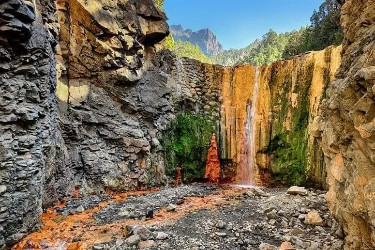
Caldera de Taburiente is a large volcanic landform in the centre of La Palma, surrounded by steep mountain walls and high peaks. Its present shape formed through volcanic activity and erosion. The crater is about 9 kilometres across, and the surrounding summits rise to between roughly 1,700 and 2,400 metres.
The park became a national park in 1954. At its lower levels, the Caldera stream runs through the landscape. It is described as the only continuous watercourse in the Canary Islands. Water and elevation help create a striking change in scenery between the crater’s lower areas and its exposed upper rim.
Viewpoints, trails and pine forest
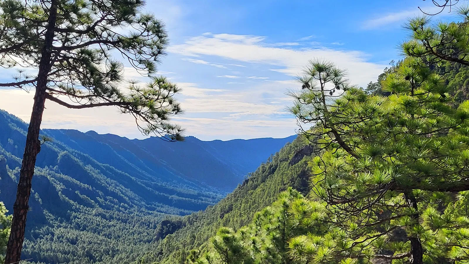
You can take a short walk from the upper parking area to viewing platforms overlooking the crater. From there, the rock layers and the scale of the surrounding walls are easy to see. Other routes lead through protected Canarian pines, and one reported circular walk around the caldera is 3.5 kilometres. For a tougher outing, the route to Pico de Bejenado climbs steadily and is known for its views over the crater.
The park’s high ground includes Roque de los Muchachos, which reaches 2,426 metres and is the highest point on La Palma. On clear days, views can stretch across much of the island and towards El Hierro. The Roque de los Muchachos Observatory is also on the summit area, above the usual cloud layer that forms between about 1 and 2 kilometres above sea level.
Plan for the mountain conditions
Parking at the upper viewpoints is limited, so reserve a time slot before driving up. The road has repeated hairpin bends, and its narrow sections call for care when meeting oncoming vehicles. A visitor centre and toilets are at the bottom of the park, near El Paso.
Conditions can change with altitude and cloud. The upper viewpoints are often clearer earlier in the day, while shade and wind can make them cold; bring a warm layer as well as water. Some paths have steep drops without barriers, so wear secure, comfortable shoes and take care near the edges. In the evening, the dark sky can make the park appealing for stargazing, but the access roads still require cautious driving.
FAQ
Do you need to reserve parking at Caldera de Taburiente?
A parking time slot is recommended because spaces at the upper viewpoints are limited. Book in advance.
How long does a visit take?
A short walk to the viewpoints can take about 60 minutes. Longer trails, including the climb to Pico de Bejenado, take more time.
What should you wear for a visit?
Wear comfortable walking shoes and bring warm clothing. Some routes have steep drops without barriers, and upper areas can be chilly.
Can you stargaze in the park?
Yes. The park’s evening skies are suited to stargazing when conditions are clear.


