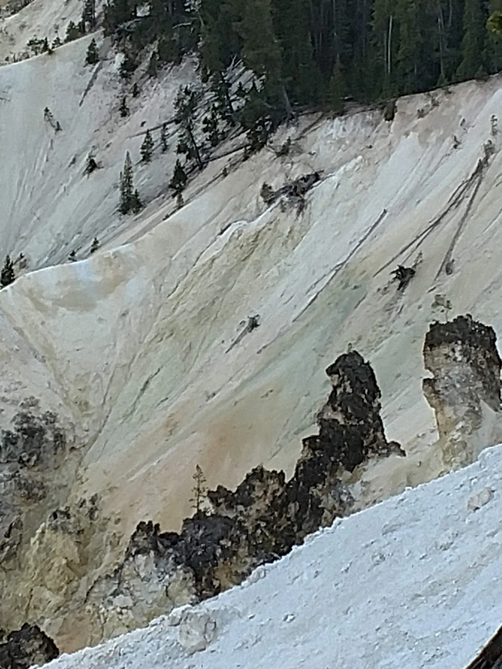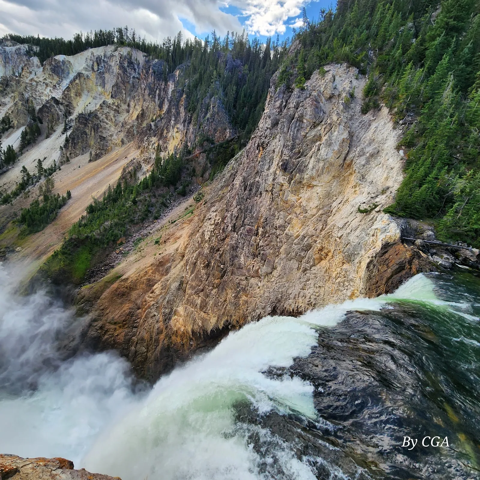
The Brink of Lower Falls is a steep trail on Yellowstone’s North Rim, descending to a platform beside the 308-foot Lower Falls in the Grand Canyon of the Yellowstone. From the rim, switchbacks drop toward the Yellowstone River, where you can look across the canyon and see the water plunge over the edge. The short hike is a demanding detour, especially on the climb back up, but it brings you close to the falls’ roar and force. Go early for better parking and light on the canyon walls.
The trail to the falls
The route descends from the North Rim by a series of steep switchbacks. It is about 0.7 miles round trip, but the short distance does not make it an easy walk: you lose elevation quickly on the way down, then climb back up the same slope. Benches along the trail provide places to rest. Supportive footwear is useful, and hiking poles can make the ascent easier.
The path leads through a forested section of the canyon to an observation platform near the top of the falls. Take your time on the switchbacks, particularly on the return climb. The trail is paved, but its steep grade is a consideration for anyone deciding whether it suits their abilities.
At the brink of Lower Falls
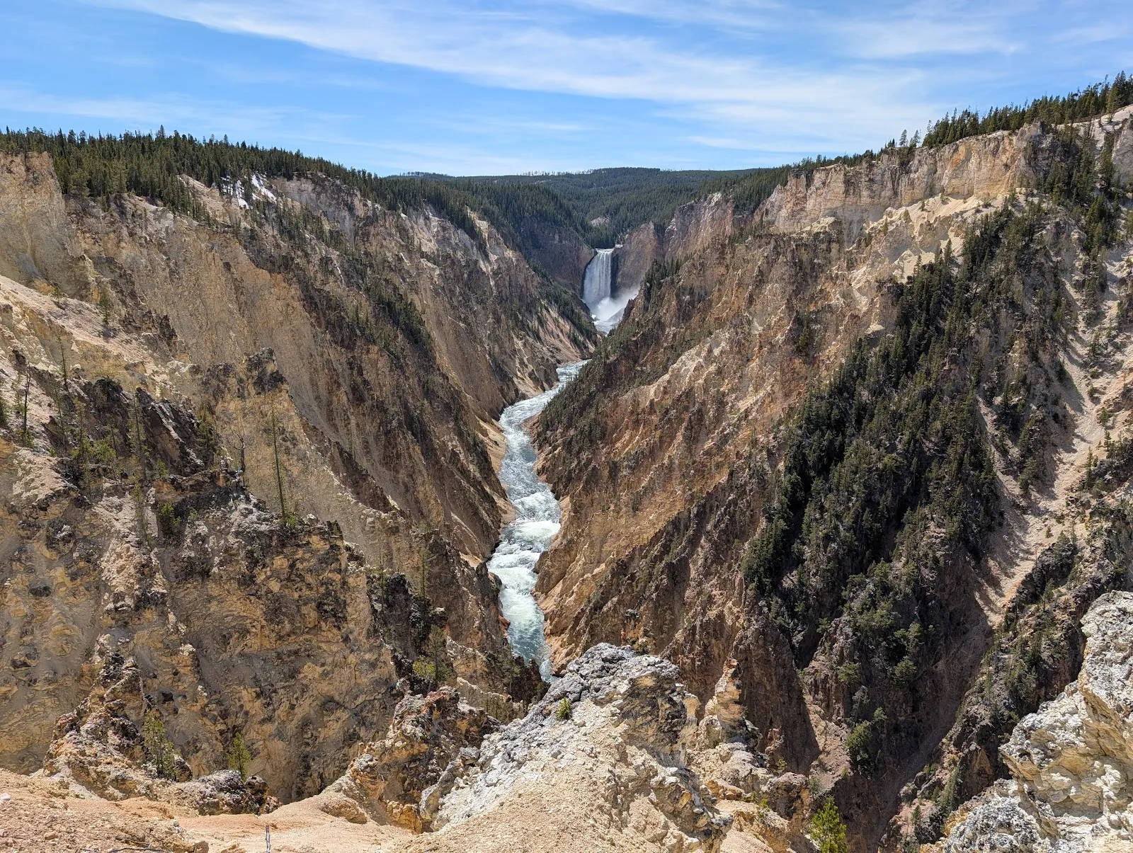
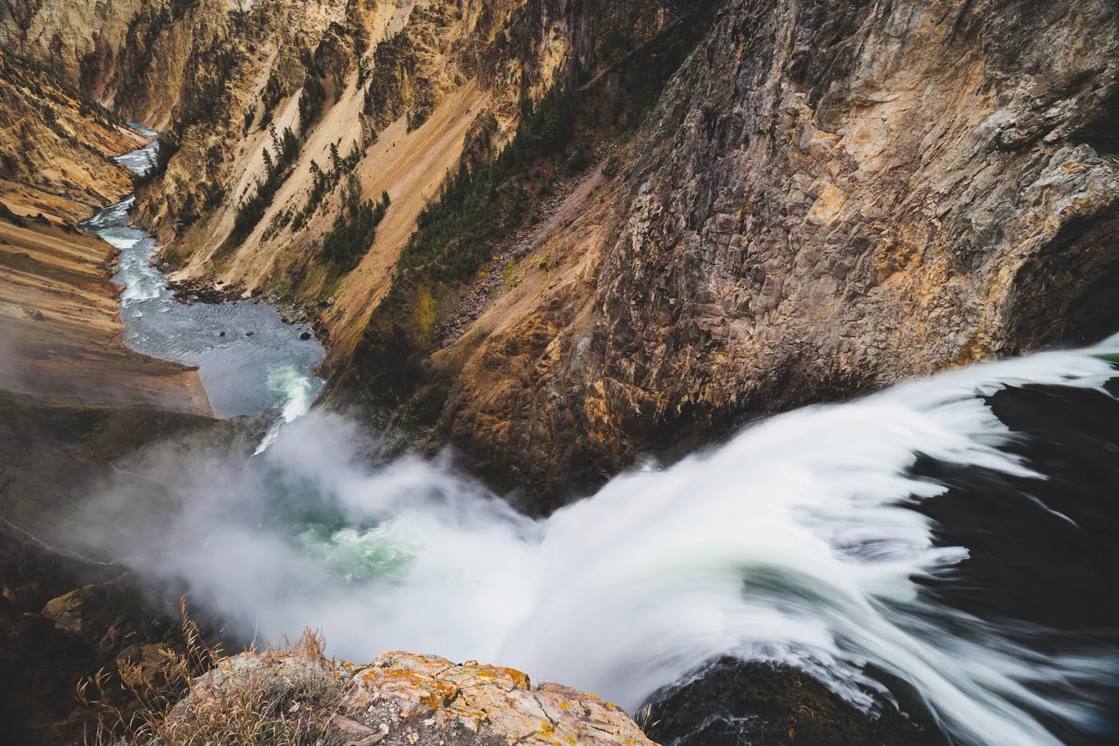
Lower Falls drops 308 feet into the Grand Canyon of the Yellowstone. From the platform, you can watch the Yellowstone River rush over the rim and into the canyon below. The close vantage point brings the sound and force of the water into focus, while views extend along the river and canyon walls.
The amount of water flowing over the falls changes through the year. Peak spring runoff can bring a much greater flow than in autumn. The falls can also be seen from other viewpoints around the canyon, but this trail takes you down from the North Rim to a platform close to the brink.
Planning a North Rim stop
The trail is reached from the North Rim area, near the Brink of the Lower Falls parking area. Parking fills quickly, so an early start can help with finding a space and gives you morning light on the canyon walls. The walk usually takes 30 to 60 minutes, including the return climb.
You can pair the hike with the North Rim Trail when weather permits. The Brink of the Lower Falls route may close in winter, and slick conditions can also affect access. Check current trail conditions before planning the descent; a short spur near the start provides a view of the falls when the main trail is closed.
Perguntas frequentes
How long is the Brink of Lower Falls hike?
The out-and-back trail is about 0.7 miles and typically takes 30 to 60 minutes. It is steep, with switchbacks on the descent and return climb.
How tall are Lower Falls?
Lower Falls drops 308 feet into the Grand Canyon of the Yellowstone.
Is the Brink of Lower Falls trail open in winter?
The trail can close in winter, and slick conditions can affect access. Check current conditions before setting out.
Can you combine this hike with the North Rim Trail?
Yes. The trails can be combined when weather permits.