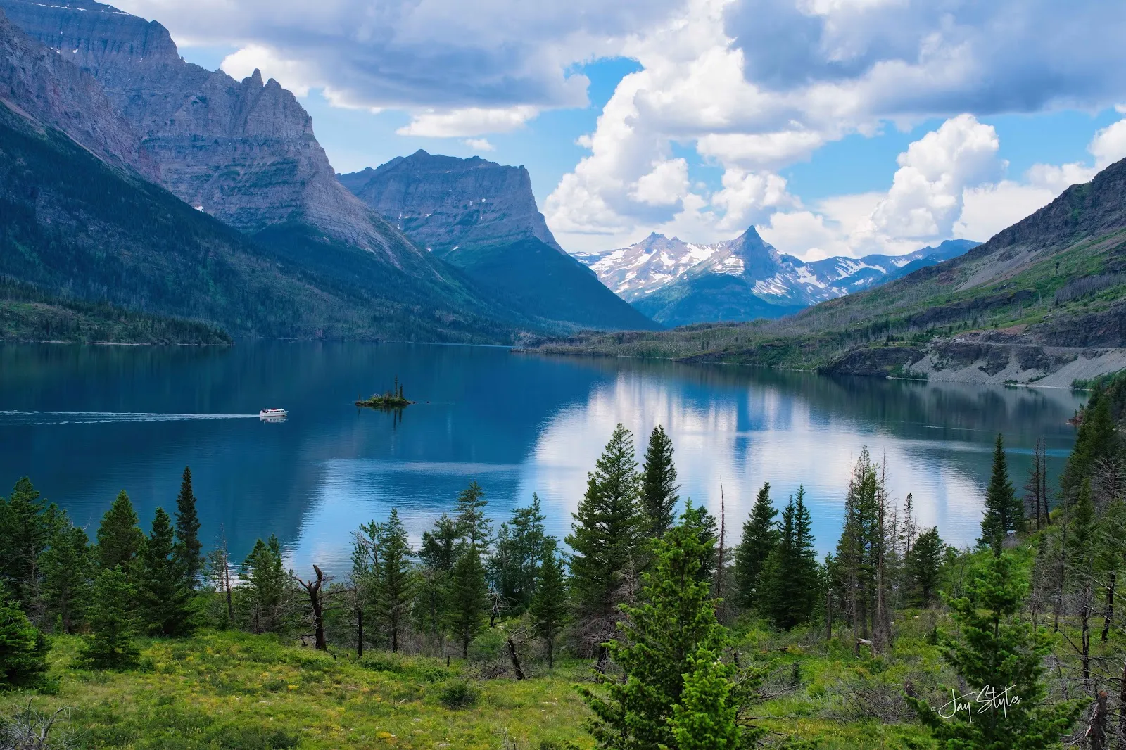
Glacier National Park covers about one million acres of mountains, forests and lakes in northwest Montana, along the border with Canada. The park's best-known drive, Going-to-the-Sun Road, crosses the Continental Divide at Logan Pass, the highest point a car can reach. Visitors hike more than 700 miles of trails, from lakeside walks to the high Highline Trail, and often see mountain goats, bighorn sheep, moose and bears. Summer brings the most people, so plan the drive and the trailheads around the season.
Geography and the Continental Divide
Glacier sits on the U.S.-Canada border in northwest Montana and adjoins Waterton Lakes National Park in Alberta. Together the two parks form Waterton-Glacier International Peace Park, dedicated in 1932.
The Continental Divide runs through the park. Streams on one side drain west toward the Pacific, and streams on the other side flow east toward Hudson Bay and the Mississippi River. The divide also splits the climate. The west side has lush forests of hemlock and western cedar, while the east side is drier, with more open views and dry, cold air from Canada.
The ridges are cut from colorful sedimentary rock, and several peaks rise above 10,000 feet. The valleys were carved by glaciers during the last ice age.
Going-to-the-Sun Road
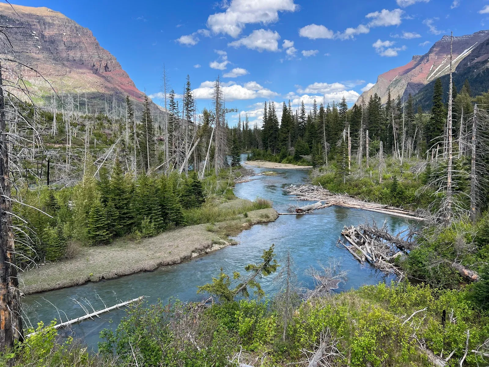
The road is about 50 miles long and links the park's west entrance with the east entrance at St. Mary. It climbs to Logan Pass, the highest point in the park that a car can reach. It ranks among the country's most scenic drives.
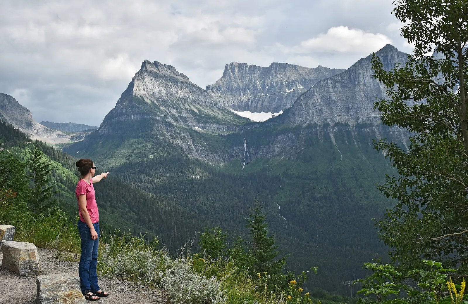
Just before Logan Pass, a sweeping curve called Big Bend offers views over the Lake McDonald Valley, with Mount Oberlin, Mount Canon and Heavens Peak in the background. Sunsets from this stretch are a highlight, and in mid-summer the meadows along the way can be full of wildflowers.
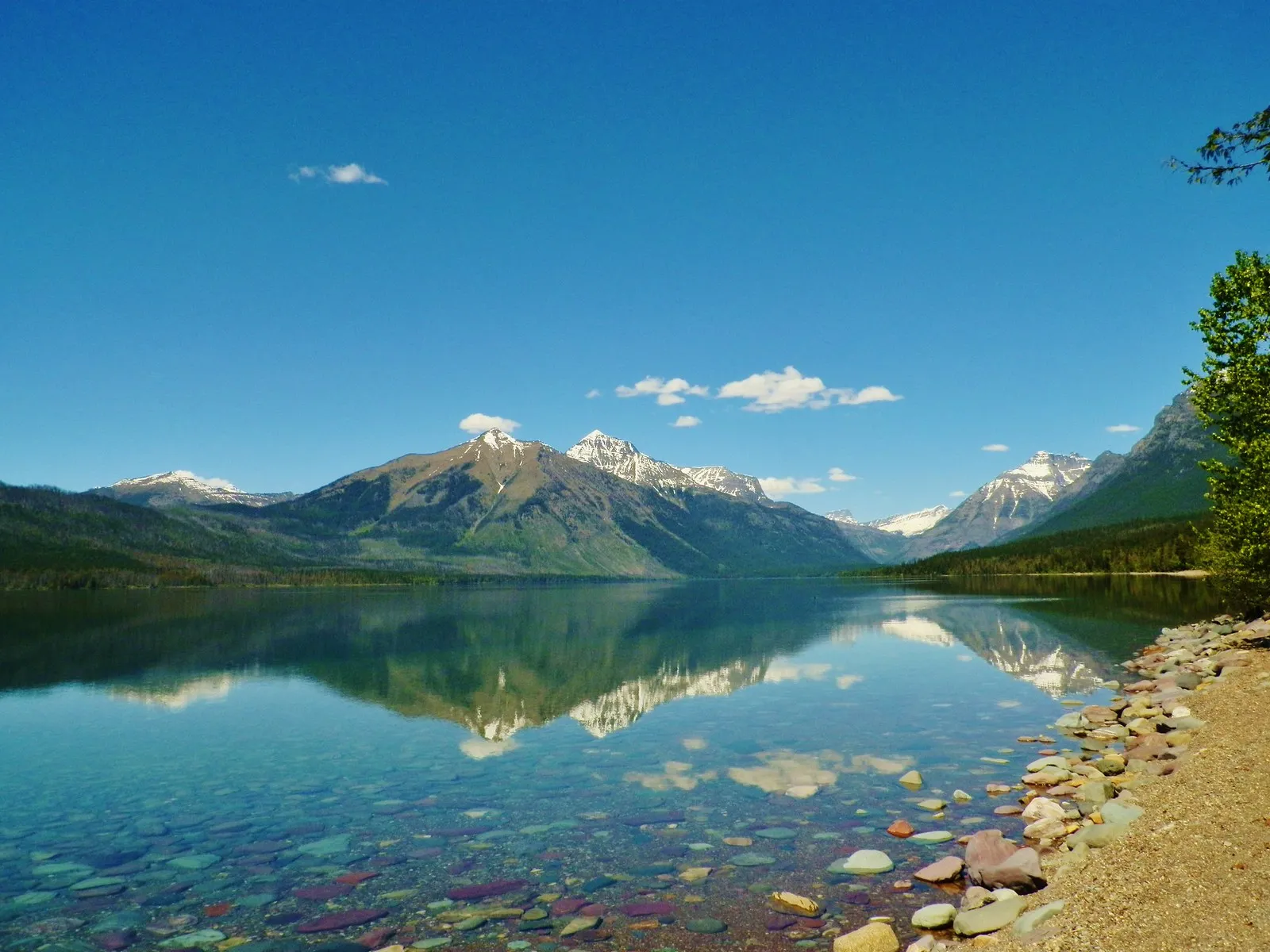
On the east side, St. Mary Lake is a welcoming first view for drivers heading west from the east entrance. The peaks around it reflect in its blue water.
Hiking the park
Glacier has more than 700 miles of trails. The Highline Trail follows the Garden Wall, a stretch of the Continental Divide known for its summer wildflowers. Many hikers walk part of it, from the Logan Pass trailhead north to the Granite Park Chalet, then return by the Granite Park Trail to the Loop.
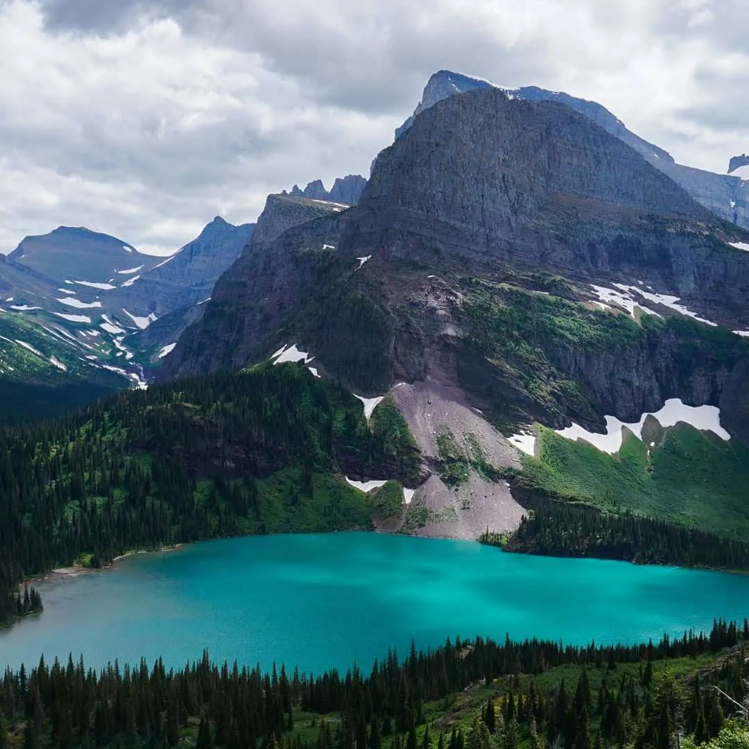
From the Many Glacier area, Iceberg Lake and Grinnell Glacier are popular choices. Both can be reached through the Many Glacier gate, which does not require a vehicle ticket, so they remain an option when Going-to-the-Sun Road tickets are sold out.
The Trail of Cedars and Hidden Lake are other well-known walks. The park is split into four regions: West Glacier, East Glacier, Many Glacier and the quieter Two Medicine area. West Glacier is home to Avalanche Lake.
Wildlife and night skies
Grizzly bears, black bears, bighorn sheep, mountain goats, moose, mountain lions and wolves all live in the park, along with wolverines and eagles. Bears are sometimes seen close to roads, so keep your distance and never approach them.
Glacier and Waterton Lakes together are certified as an International Dark Sky Park by the International Dark Sky Association. The certification requires long-term work to protect night skies and nocturnal habitat, and to explain the value of dark skies to the public. The park inventoried its exterior light fixtures and changed the bulbs to meet dark sky lighting rules.
Summer evenings are long. The sun does not set until about 10 p.m., so you can enter the park in the evening and still have hours of daylight.
Peoples and history
For thousands of years, many tribes lived in the area that is now the park. Today the Blackfeet, Selis, Qlispe and Ksanka tribes have ancestral ties to these lands. The Blackfeet and Flathead began living on reservations bordering the park in 1855, with the Blackfeet to the east and the Flathead to the west. Because the park stayed largely free of large-scale settlement, its landscape and ecosystem remained intact.
In West Glacier, the historic Belton Bridge was completed in 1920 to connect the small community with the park, which had been established in 1910. It crosses the Middle Fork of the Flathead River. It replaced river fords and ferries that were unreliable during spring snowmelt.
Planning a visit
The park is open every day of the year, but heavy snow means some roads and entrances are not always open. Most visitors come in midsummer, when the main roads are usually open. Going-to-the-Sun Road closes for the season in mid-October. Fall brings cooler days, changing leaves and fewer people.
Winter is quiet. Most of the park is frozen from November through June, though cross-country skiing is possible in the cold months.
Ranger programs and a junior ranger program are offered for children. The entrance, parking lot and some seating are wheelchair accessible.
Perguntas frequentes
Is there an entry fee?
Visitors pay a park entrance fee or show a park pass. A park pass covers a stay of one week in the park.
Do I need a reservation to drive Going-to-the-Sun Road?
In peak season, parts of the road have required timed vehicle reservations, which can be booked up to 120 days ahead. Check the park website for the current season's rules.
How long do you need?
A day trip is possible, but the park rewards more time. Several days allow the main drive, a few hikes and the lakes.
When is Going-to-the-Sun Road open?
Snow can keep it closed early in the year. It is usually open in midsummer and closes for the season in mid-October.