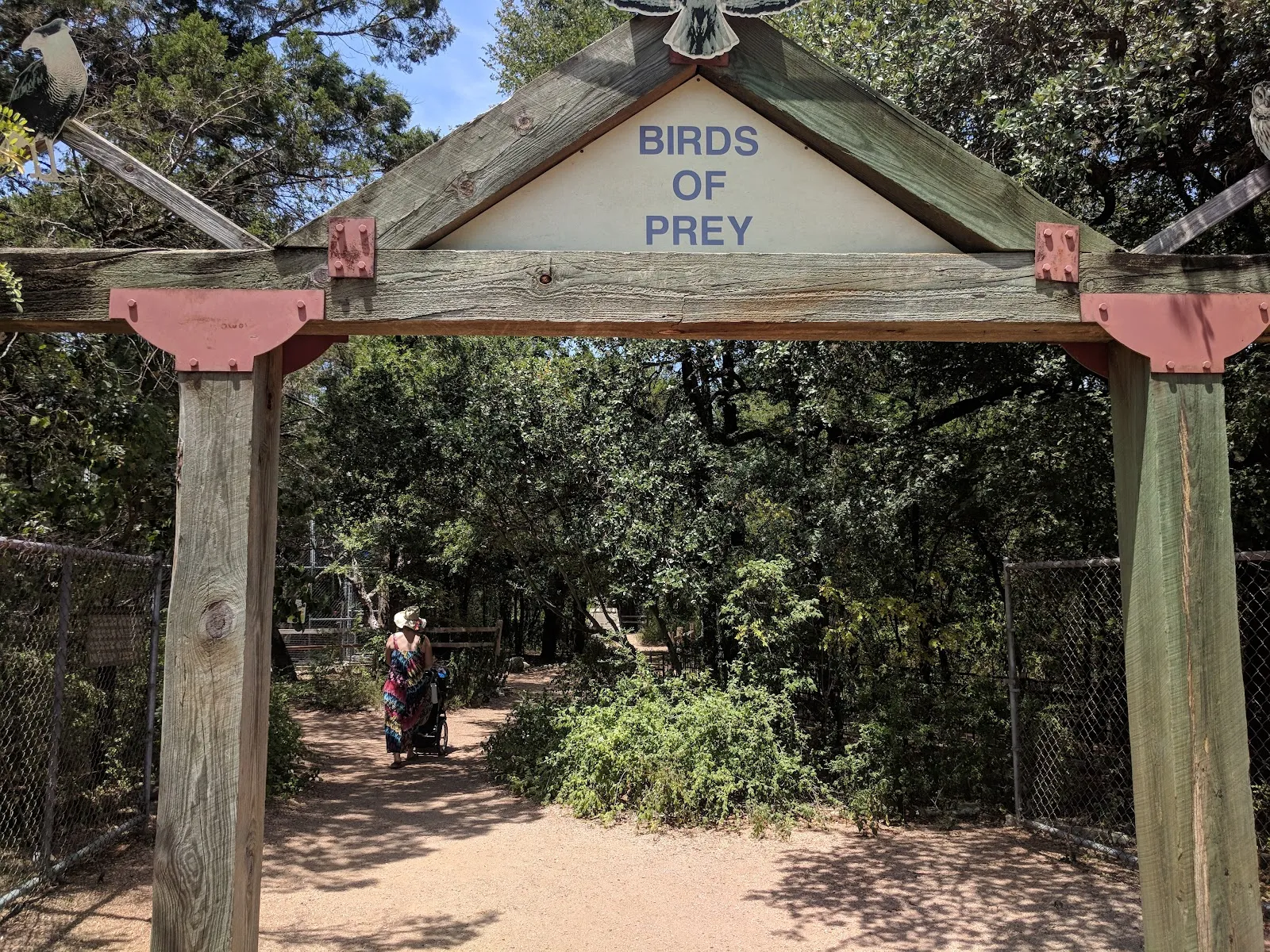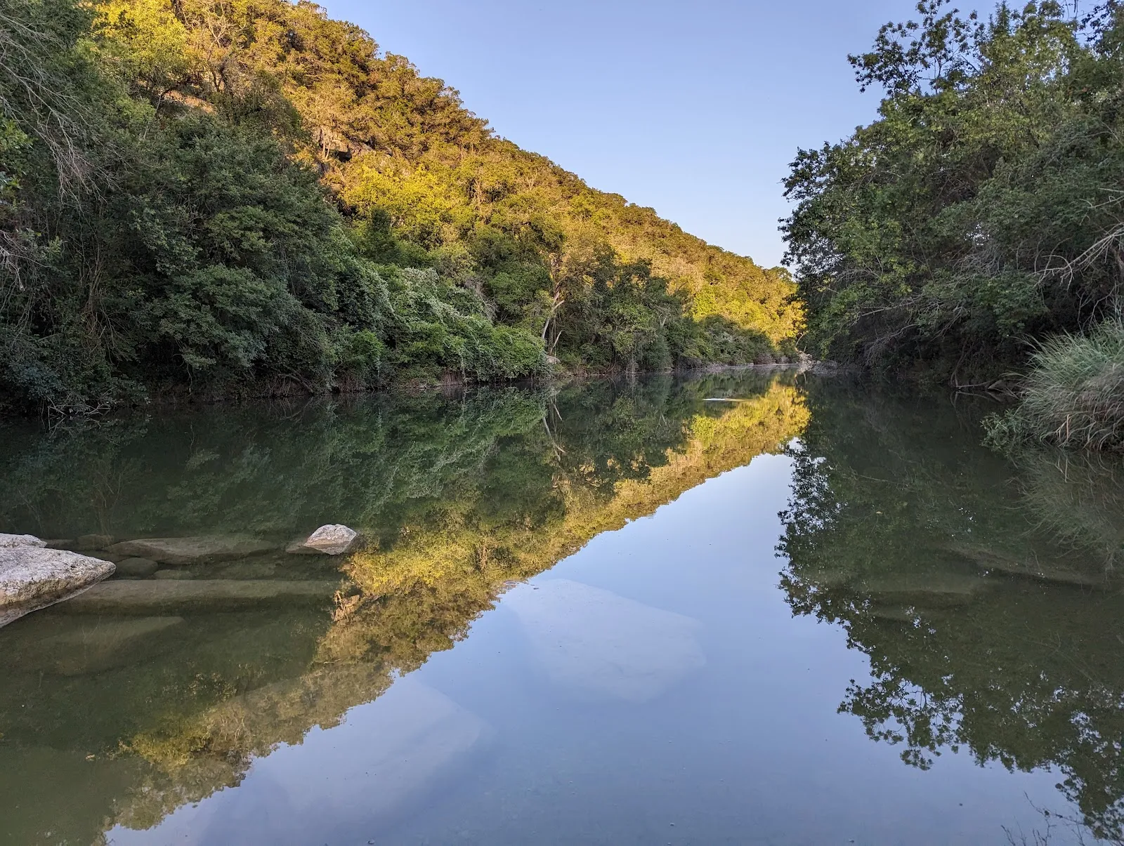
Barton Creek Greenbelt is a network of hiking and biking trails in south Austin, with access points including the Mopac area. Shaded woods, creekside paths and limestone cliffs give the route a varied feel, and sections suit different levels of effort. Look for Twin Falls and Sculpture Falls along the trail; whether they have flowing water depends on recent rain. You can also bike, climb or swim when conditions allow. Trail markings can be unclear, so bring a downloaded map if you plan to explore beyond the main path.
Choosing a trail and access point
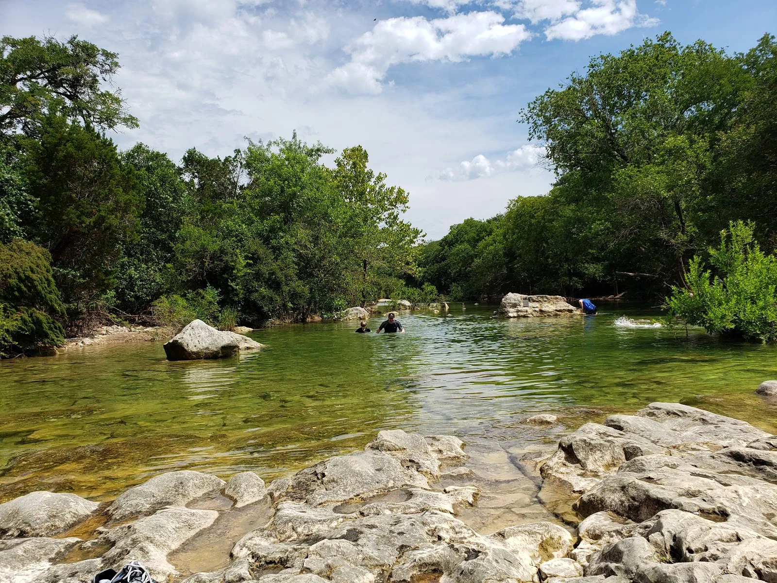
The greenbelt has several entry points, so you can plan a short walk or a longer outing without covering the entire trail network. The main trail runs between Zilker Park and Westlake, while the Mopac access area is a common starting point for hikes toward Twin Falls and Sculpture Falls. Other access points give you options for exploring different stretches of Barton Creek.
The path varies underfoot. Expect rocky and uneven sections, alongside shaded stretches and creekside routes. Some areas are easier walking, while steep climbs add a more strenuous option. For a short family walk, Twin Falls can be reached by a brief hike from its trailhead; the route and distance depend on where you start. Check your chosen trail before you go, since side paths can be difficult to follow.
Falls, swimming and creek conditions
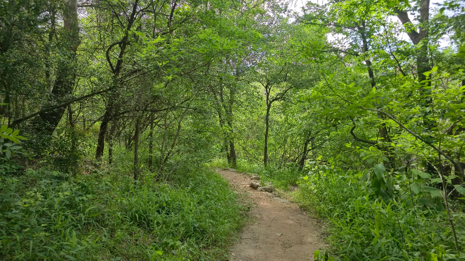
Twin Falls and Sculpture Falls are among the natural features hikers seek out along the greenbelt. Their appearance changes with the creek’s water level: after rain, water may flow and swimming spots may fill, while dry periods can leave the creek bed with little or no water. A visit can still bring limestone scenery and wooded trails, but do not count on a waterfall or swimming hole without checking recent conditions.
The creek’s level is especially relevant if swimming is part of your plan. Spring and fall are noted as seasons when water may be higher, though rainfall determines what you find on the day. If the water is low, the trail remains an option for walking, running or taking in the rock formations.
Biking, climbing and visiting with a dog
Hiking is only one way to use the greenbelt. Some sections are used for mountain biking and rock climbing, and the trail network also draws runners and bird-watchers. Choose a route that matches your plans and ability, since terrain and difficulty vary across the area. Watch for cyclists on shared paths, particularly if you are walking with a dog.
Dogs are welcome on the trails, but guidance in the material indicates they should remain leashed. Take water for your dog as well as yourself, since access to water along the trail may be limited. Give yourself enough time to check the route before leaving the trailhead, and keep valuables out of sight in your parked car.
Perguntas frequentes
Are Twin Falls and Sculpture Falls flowing?
That depends on recent rainfall and creek levels. During dry periods, the creek and falls may have little or no water.
How long are the Barton Creek Greenbelt trails?
The greenbelt has more than 12 miles of trails, with a main route of about seven miles and shorter options from several access points.
Can you bring a dog to Barton Creek Greenbelt?
Dogs are welcome. Keep yours leashed on the trail and bring water, especially in warm weather.
What should you bring for a hike?
Download a map or use GPS because some trails are poorly marked. Bring water, and wear shoes with good traction for rocky sections.