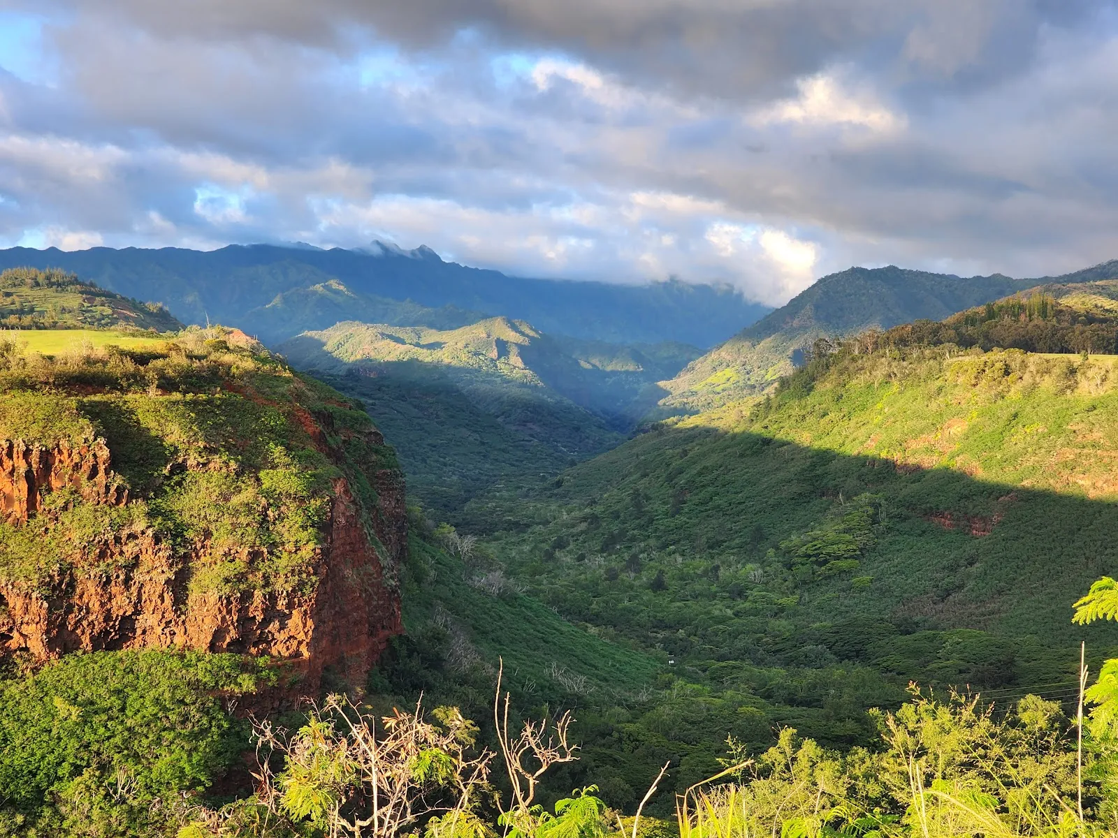
Waimea Canyon State Park, on Kauaʻi’s west side, protects a vast gorge of red and brown rock, green slopes and waterfalls. The canyon stretches about 14 miles and drops more than 3,600 feet, with changing views along Waimea Canyon Drive and Kōkeʻe Road. Stop at several marked overlooks to see the landscape from different angles, or take a trail into the canyon for a closer look at its vegetation and terrain. The drive is winding, and clouds can obscure the upper viewpoints, so check conditions before setting out.
A canyon on Kauaʻi’s west side
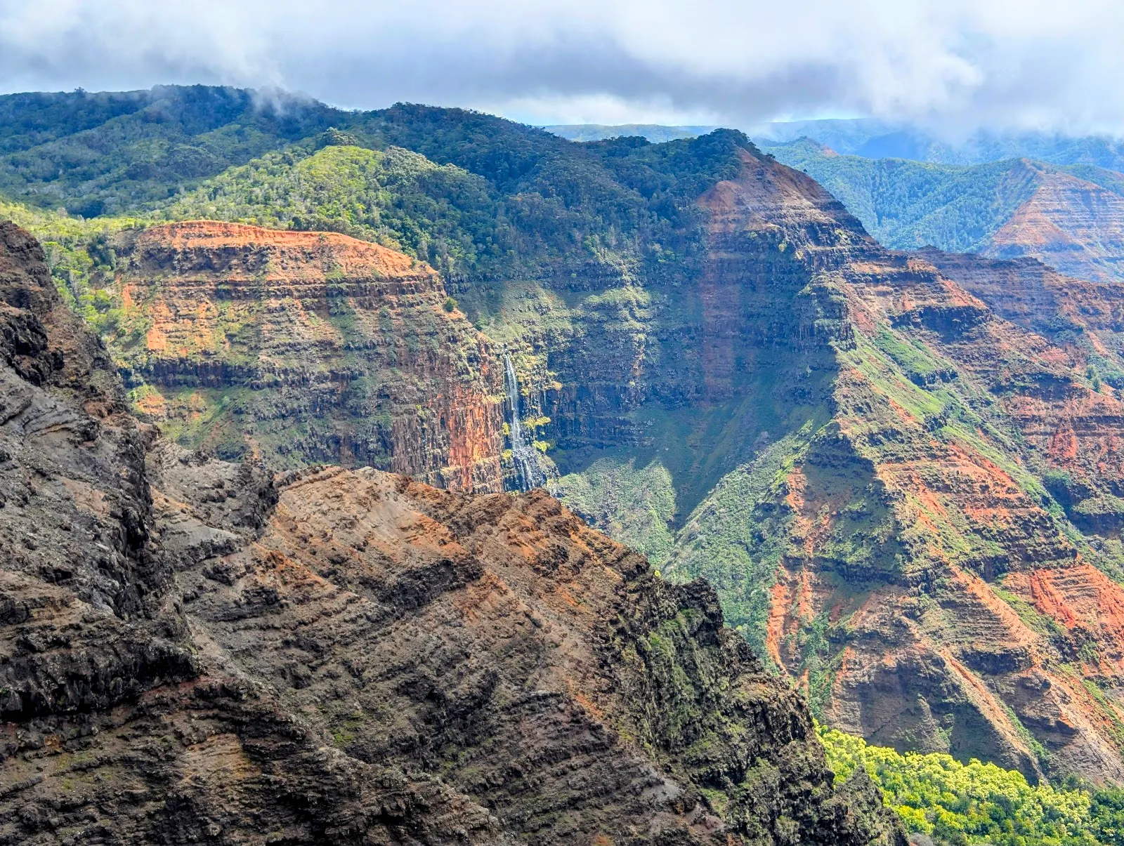
Waimea Canyon cuts through the island’s west side, where red and brown rock contrasts with green vegetation and waterfalls. The gorge is about 14 miles long and more than 3,600 feet deep. Its scale and colors have earned it the nickname “Grand Canyon of the Pacific.”
The canyon formed through erosion by the Waimea River and the collapse of an ancient volcano. The river carries reddish water as it wears away the canyon’s volcanic rock. Its Hawaiian name, Waimea, means “reddish waters.”
Viewpoints along the road
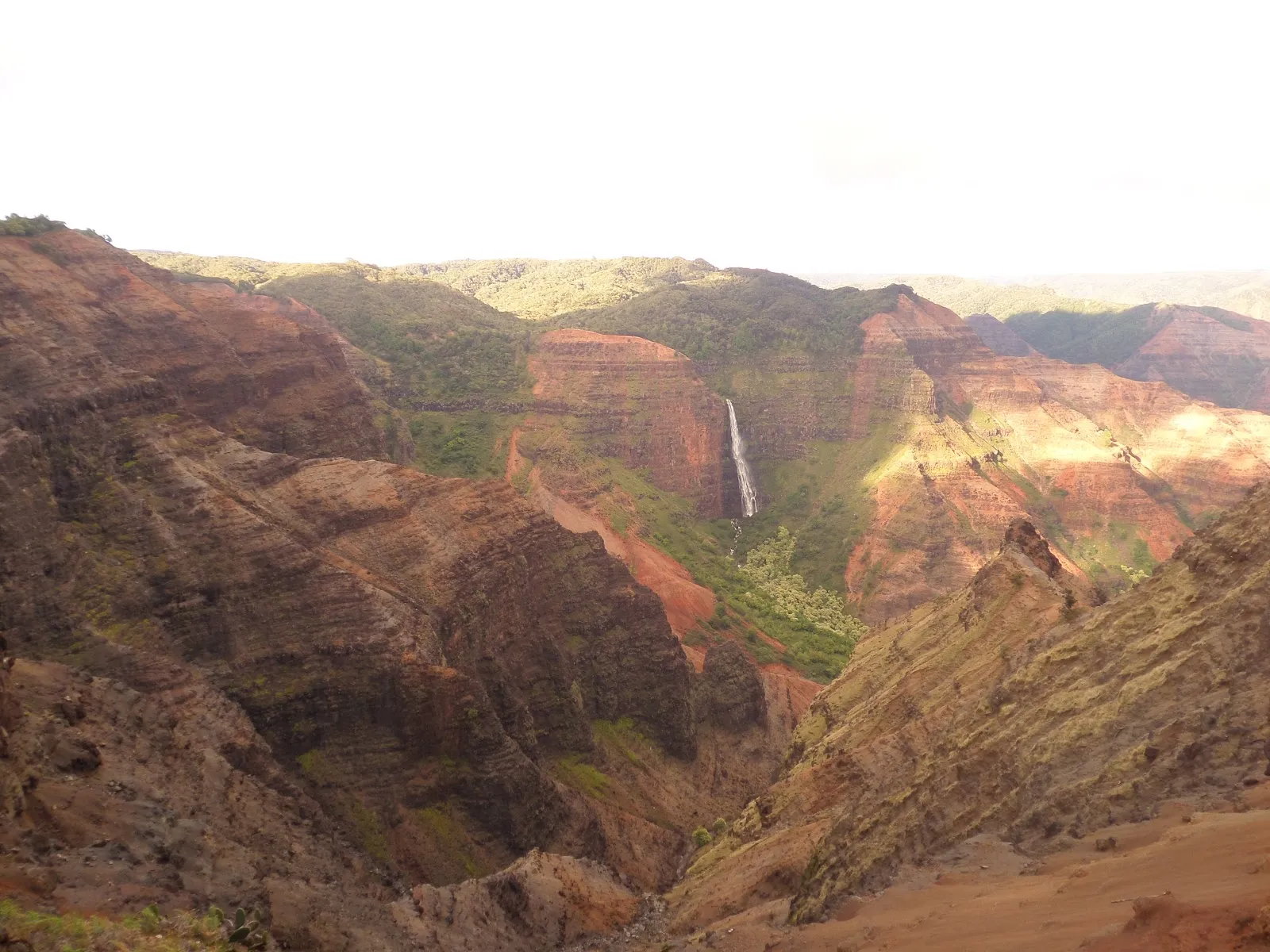
Waimea Canyon Drive and Kōkeʻe Road climb from the town of Waimea toward the canyon rim. Several overlooks give you different views of the gorge, including Waimea Canyon Lookout and Puʻu Hinahina Lookout. Continue farther up the road to Kalalau Lookout and Puʻu O Kila Lookout for views from higher on the mountain.
The landscape changes with the light and weather. Sun can bring out warm tones in the cliffs, while passing clouds cast moving shadows over the slopes. An hour before sunset is suggested for seeing the colors at their most vivid, but cloud cover can hide the views. Conditions can also shift quickly as you gain elevation.
Walking and hiking in the park
You can make a short stop at an overlook or spend longer on a trail. Routes vary from brief walks to challenging hikes that descend into the canyon. The Canyon Trail to Waipoʻo Falls is a strenuous option: the round trip is about 3.4 miles, with roughly 1,200 feet of elevation gain, and can take three to four hours. The waterfall is visible around the halfway point.
Expect uneven, sometimes muddy ground on hikes, along with steep climbs and elevation changes. Bring water and allow time for breaks. If you prefer to stay on paved or roadside routes, the overlooks let you take in the canyon without committing to a long trail.
Planning the drive
The road up to the viewpoints is winding, so take your time and use designated pull-offs rather than stopping in the roadway. If you are prone to motion sickness, consider preparing for the drive. Weather at the upper overlooks can differ from conditions lower down, and fog may obscure the scenery. Check conditions before leaving and be ready for a change in visibility during the ascent.
Häufige Fragen
How long should I spend at Waimea Canyon State Park?
Allow about two to three hours for the drive and viewpoints. Add several hours if you plan to hike; the Canyon Trail to Waipoʻo Falls can take three to four hours.
Can you see Waimea Canyon without hiking?
Yes. Roadside overlooks provide views of the canyon, so you can visit without taking a trail.
When is a good time to see the canyon?
About an hour before sunset can bring out the canyon’s red, orange and green colors. Cloud cover can hide the views, so check conditions before you go.
Are the hiking trails easy?
The routes vary, but some are steep, muddy and strenuous. The Canyon Trail to Waipoʻo Falls is about 3.4 miles round trip and includes roughly 1,200 feet of elevation gain.