
Tizi n'Tichka is a high mountain pass in Morocco’s Atlas Mountains, with a winding road through rocky slopes, green valleys and traditional Berber villages. At 2,205 metres, it is one of North Africa’s highest major passes. Pull over at the roadside stops for wide mountain views, photos or a tea and a look at local souvenirs. The route is known for good roads and relatively little traffic in the off season, though the curves call for an unhurried drive.
A road along an old caravan trail
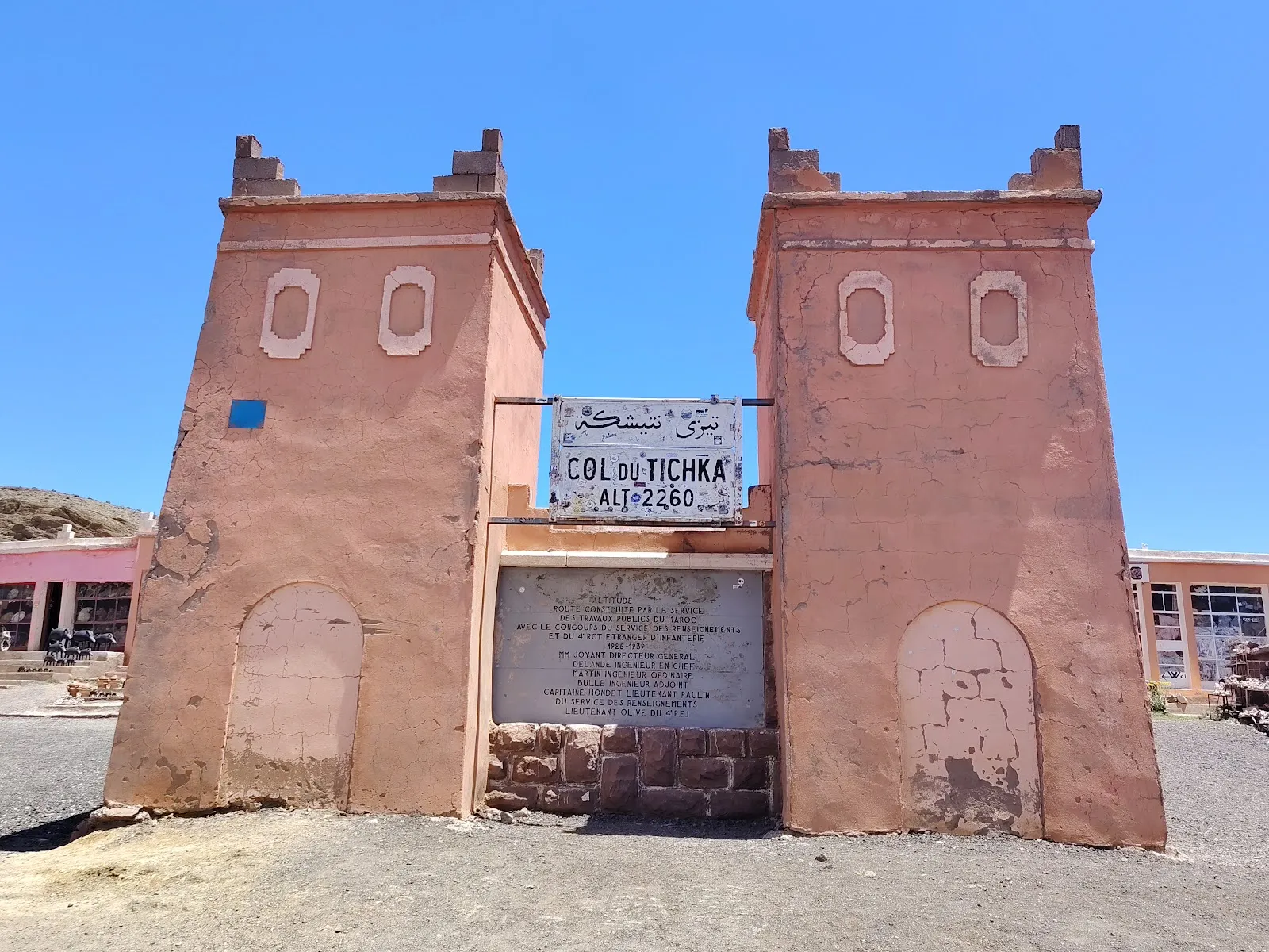
The route through Tizi n'Tichka follows an old caravan trail. The road was built by the French military in 1936, connecting the pass with a route already used to cross the mountains.
The pass reaches 2,205 metres above sea level. A higher figure of 2,260 metres has long appeared on a sign at the top, but a later GPS measurement cited in the supplied material puts the altitude at 2,205 metres.
Scenery and roadside stops
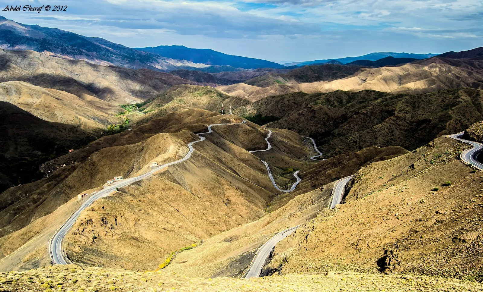
The landscape shifts between rocky cliffs and green valleys, with traditional Berber villages along the way. The winding road has sharp turns, so plan for a slow drive that leaves room to stop and take in the views.
There are pull-offs at intervals, some with small shops selling souvenirs and places to buy coffee or tea. The road is described as being in good condition, with relatively little traffic during the off season. Clear weather gives the best chance of seeing the mountain panorama.
Häufige Fragen
How high is Tizi n'Tichka?
The pass reaches 2,205 metres above sea level. A sign has long given a higher figure of 2,260 metres.
What can you see along the route?
The drive passes rocky slopes, green valleys and traditional Berber villages, with roadside stops for views and photos.
Are there places to stop along the pass?
Yes. Pull-offs appear at intervals, and some stops have small souvenir shops and refreshments such as coffee or tea.
When is the best time to visit?
Go on a clear, sunny day for the best chance of seeing the mountain views.


