Gennargentu National Park stretches from the Gulf of Orosei into Sardinia’s central mountain range, with rocky peaks, deep gorges, forests and a rugged coastline. It suits hikers and nature lovers who want more than a beach day: trails follow old shepherds’ routes, while some coves and caves can be reached only on foot or by boat. For a demanding coastal walk, Cala Goloritze takes about an hour to reach and around an hour and a half to return. April, May, September and October bring cooler conditions than summer.
Mountains, gorges and forest
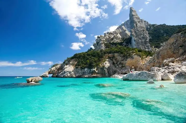
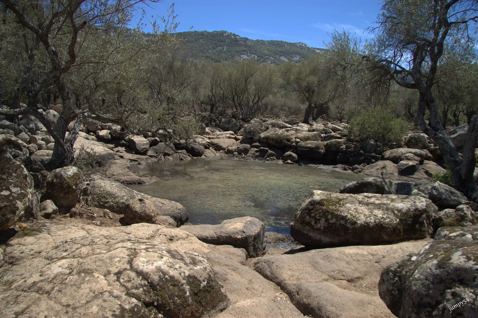
The park extends from the eastern Gulf of Orosei into the central Supramonte mountain range. Its terrain includes rocky peaks, steep-sided gorges, forests, waterfalls and caves, so conditions and the character of a walk can change considerably across the area.
Punta La Marmora is the island’s highest peak. The landscape also includes Bruncu Spina, whose slopes can be covered in snow, and the limestone plateau of Supramonte. These are rugged areas suited to visitors prepared for challenging terrain, not casual walks in light footwear.
Walking the park
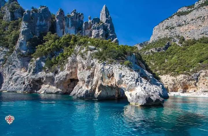
Traditional shepherds’ trails pass through the mountain landscape, alongside newer hiking routes. The terrain can be demanding, particularly at higher elevations, so an experienced guide is a sensible choice for high-altitude hikes. Trails also provide opportunities to observe local flora and fauna.
Cala Goloritze is a more specific outing to plan around: the walk takes about an hour on the way there and roughly an hour and a half on the return. Carry water and food, wear good shoes and bring a hat. Cooler months are more comfortable for this exposed effort than the summer heat.
The coast and inland sites
Along the Gulf of Orosei, some beaches and coves are accessible only by boat or on foot. The coastline combines blue bays and pale beaches with caves and steep rock faces. Choose your approach before setting out, since a boat trip and a long hike are different ways to reach the shore.
Inland, the Tiscali sinkhole contains archaeological remains of a Nuragic dwelling. It is a hike to a historic site, with the surrounding mountains forming part of the journey. The park also connects outdoor exploration with Sardinian traditions, including the routes once used by shepherds.
Häufige Fragen
When is a good time to visit Gennargentu National Park?
April, May, September and October are suggested to avoid summer heat and heavier tourist traffic.
How long does the Cala Goloritze hike take?
Allow about an hour to walk there and around an hour and a half to return. Bring water, food, a hat and sturdy shoes.
Are all the park’s beaches easy to reach?
No. Some coves and beaches can be reached only by boat or on foot.
Do you need a guide for hiking in the park?
An experienced guide is recommended for high-altitude hikes, where the terrain can be challenging.