
Tikal National Park in northern Guatemala protects the ruins of one of the largest ancient Maya cities, set in dense rainforest in the Petén region. Temples and pyramids rise above the canopy, and the stone carvings record a powerful civilization. Monkeys, toucans and parrots move through the trees, and the forest is especially lush after rain. Allow a full day to see the main temples, and walk the jungle trails with a guide if you can.
The city and its rise
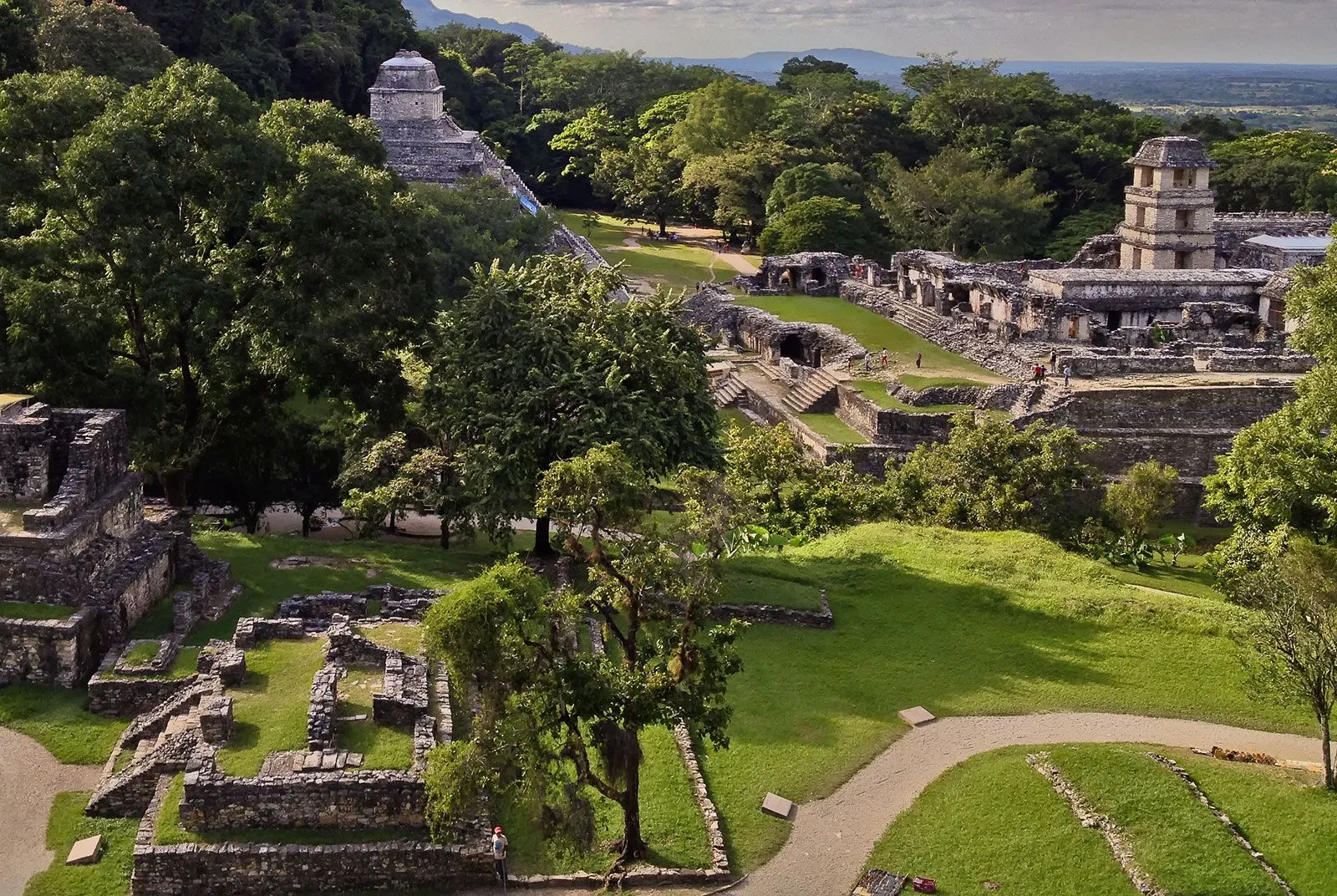
Tikal was one of the most powerful Maya kingdoms. The park protects 57,600 hectares (142,332 acres) inside the larger Maya Forest, and the ruins sit in the Petén region of northern Guatemala.
According to archaeological records, the city's rule lasted more than 700 years, from about 200 to 900 AD. During that time Tikal dominated the political, economic and military life of the Maya world, partly through its relationship with the Teotihuacan state near modern Mexico City.
The city's peak came between about 600 and 900 AD. Its central place on the Maya trade network helped it grow, and it is estimated to have had around 90,000 residents at that time. By the 9th century the region's Classic Maya period was ending in a collapse that affected much of the area.
Temples, plazas and carvings
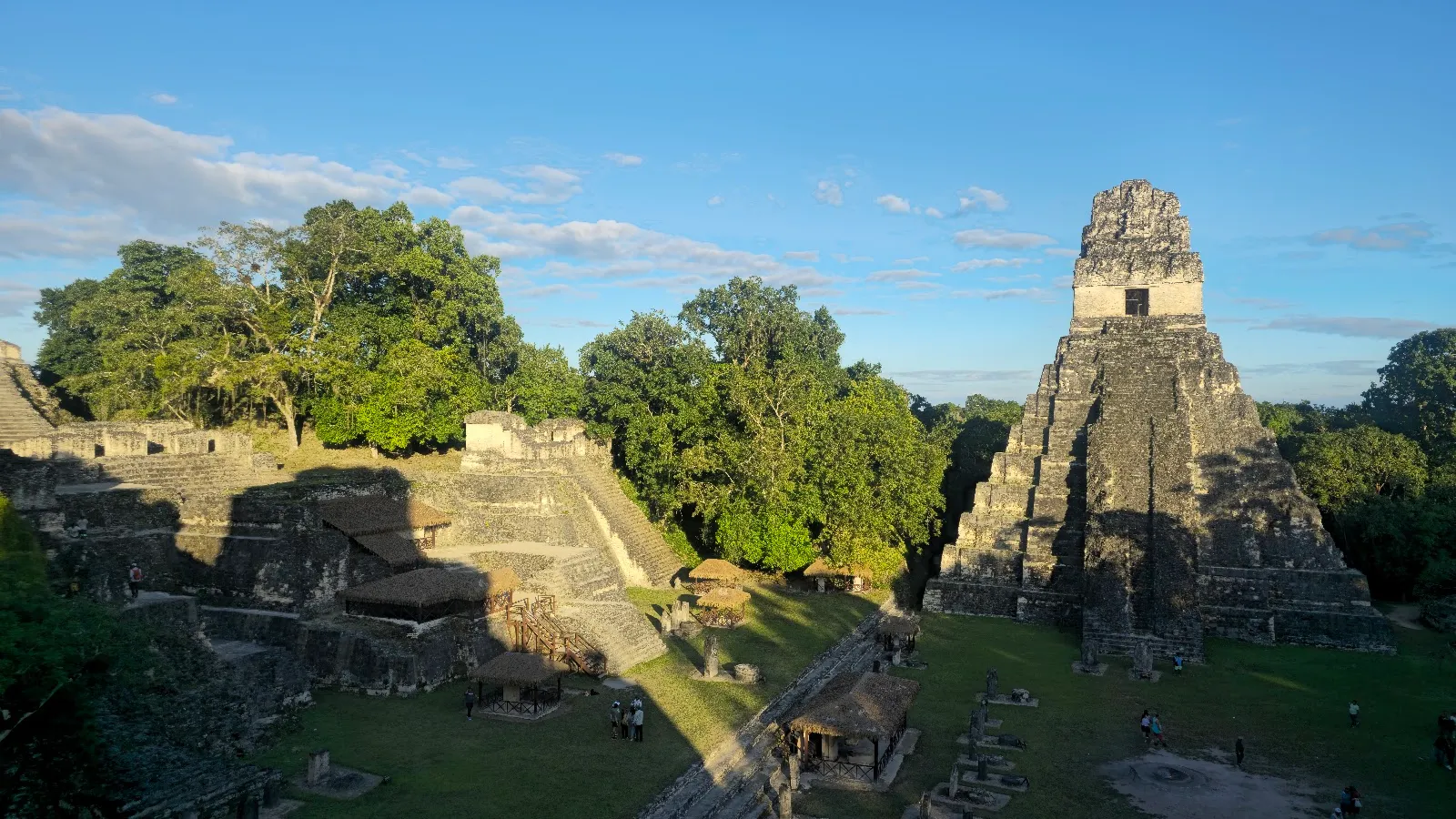
Temple IV is 65 metres high, the tallest building at Tikal and the second-highest pre-Columbian building known in the western hemisphere, after La Danta at El Mirador. From its top the view runs across the canopy to the temples of the Gran Plaza, Temple III, Temple V and the great pyramid of the Mundo Perdido.
Temple I, also called the Temple of the Great Jaguar, stands in the Great Plaza. Carved stelae are common across the site, and the carvings are the clearest record of the city's rulers and their stories.
The ruins are less restored than many sites of a similar age. Some look more overgrown and less grand than the restored sites you may have seen elsewhere, which is part of their character. Signs at each temple state whether climbing is allowed, so check before you go up.
The great Ceiba tree, sometimes called the sacred tree of the Maya, grows in the forest. The Maya held it to be sacred, and they believed the souls of the dead climbed to the top of these trees to reach heaven.
The city also had observatories. Their construction shows how closely the Maya studied the movements of the sky, and it helped them build a calendar of remarkable accuracy.
Wildlife in the forest
Tikal is a wildlife site as much as a ruin site. Howler monkeys and spider monkeys move through the treetops, and visitors also see toucans, parrots, coatis and butterflies. Many birds are heard before they are seen, especially in the early morning.
The forest is at its most vivid after rainstorms, when the greenery is bright and the air feels fresh. Some visitors describe the park as the most atmospheric of the Maya sites they have seen.
Sunrise is not guaranteed to be clear. One visitor found the site misty until about 11 AM, so the temples were hard to see at dawn. Plan a second morning or a late afternoon if the first one is cloudy.
Tickets, museums and fees
Foreign visitors pay Q150 for entry. A sunrise entry costs an extra Q100, and you can enter from 4 AM. Tickets can be bought online through the government website or at the entrance.
Inside the park are the Sylvanus G. Morley Museum and the Lithic Museum. Each needs an extra Q30 per person for foreign visitors. Museum tickets cannot be bought online. They must be paid in cash, in local currency, at the site on the day of your visit.
There are only a few places to buy tickets. If you arrive the evening before a sunrise tour, arrange your tickets in advance. One visitor used their hotel to help with this, and the hotel was able to arrange tickets, though it took some effort.
Getting there and where to stay
Tikal is about 40 miles (64 km) from Flores, the nearest city and main tourist hub. The road between them is paved. Ground transport in Guatemala is slow, so many travelers fly from Guatemala City to Flores and continue by road.
The site is about two hours from the Belize border. Visitors based in San Ignacio, in western Belize, often make a day trip across to see it.
Staying inside the park is an option. The Jungle Lodge was originally built to house the archaeologists who excavated the ruins. Staying overnight lets you see the ruins at sunrise and sunset, and it gives you time for the other sites in the region.
Häufige Fragen
Is there an entry fee?
Yes. Foreign visitors pay Q150 for entry, a sunrise entry costs an extra Q100, and each museum needs a separate Q30 per person for foreign visitors. Check the official site for current prices.
How long do you need at Tikal?
The average visitor can see the top spots in 8 to 9 hours, so a full day works well. Give yourself two days if you are keen on ruins, or half a day if you have only a passing interest.
Do I need a guide?
A guide is recommended for the history of the site. A local Maya guide is worth hiring for sunrise walks, when it is still dark. Tours from Flores are also available.
Can you climb the temples?
Some temples can be climbed. Signs at each temple state whether climbing is allowed.
How do you get to Tikal?
Fly from Guatemala City to Flores, then travel about 40 miles (64 km) by road to the park. Ground transport in Guatemala is slow, so allow extra time.


